Susan's Shanghai Blog - Week 36 - Day 3
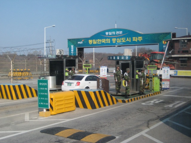
Bright and early on the 3rd day, we headed over to the USO offices at Camp Kim to pick up a tour to the DMZ. As we drove nearer and nearer to the area, we started seeing the "lines". For example, at a river that is part of the boundary line, there are watch towers and barbed wire so that (we assume) people can't just cross the river.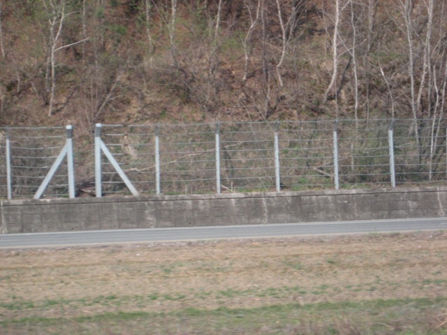
When we got to the first checkpoint, the road was heavily guarded and you ended up going through a couple checkpoints, including a bridge that you had to swerve right and left to avoide the barriers.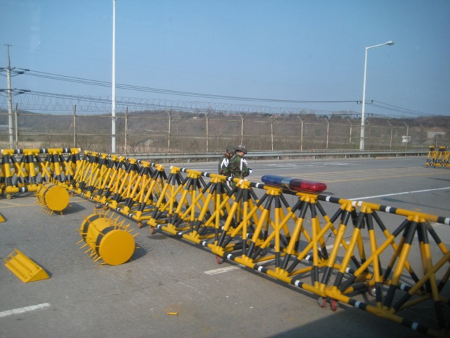
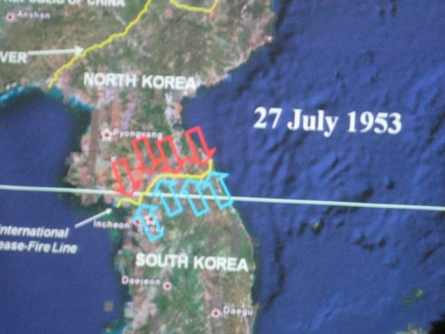
Okay, so now the "history lesson" ... The DMZ (Demilitarized Zone) is a 4-km wide boundary between North and South Korea. There is a Military Demarcation Line that runs all the way across the peninsula and 2 km on each side of that line makes up the DMZ. The DMZ was created in 1953 in the Armistice Agreement at the end of the Korean War.
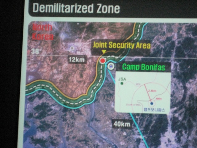
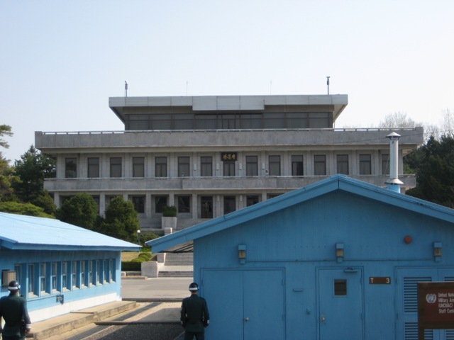
Inside the DMZ at Panmunjeom is the Joint Security Area (JSA), which was where our tour started. They started by giving us a briefing that detailed the end of the Korean War, the Amistice, and the creation of the DMZ. Camp Bonifas is the American/South Korean military area that sits just outside of the DMZ and then the Joint Security Area, which you can see from the map sits right on the Military Demarcation Line.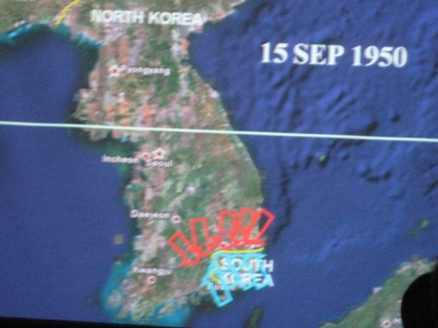
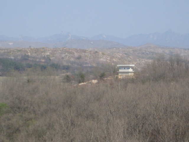
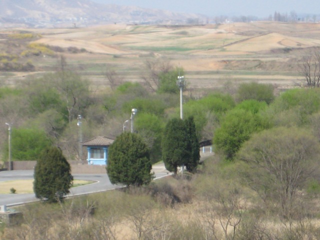
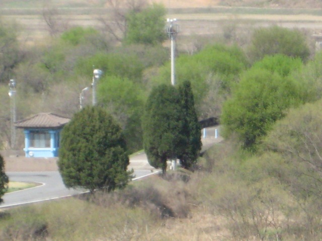
There are various buildings in the JSA, some being North Korean and some being South Korean. The silver one (first picture) is North Korean while the blue ones (second picture) are South Korean controlled. In the second picture, you can see the ROK (Republic of Korea, or South Korean) soldiers standing guard, and you see they are facing the North Korean side, which is the big grey building.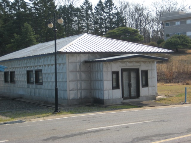
The JSA straddles the Military Demarcation Line and there are buildings that part of it is in the "South Korean" side of the DMZ and the other part is in the "North Korean" side of the DMZ. It isn't that easy to see, but if you look closely you will see right at the middle of the length of the blue buildings, a short concrete "line" that goes across the ground. That is literally the Military Demarcation line, or the line that separates the South Korean DMZ from the North Korean DMZ.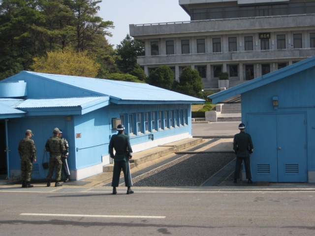
I wanted to take a picture of the arm band that the American soldiers were wearing that were leading us in the tour, that shows the Joint Security Area, Pan Mun Jom. 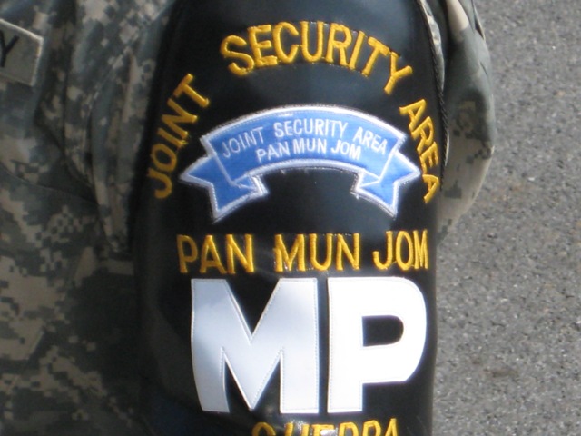
We could actually see in the distance on the big building (North Korean security forces), a North Korean soldier watching what was going on.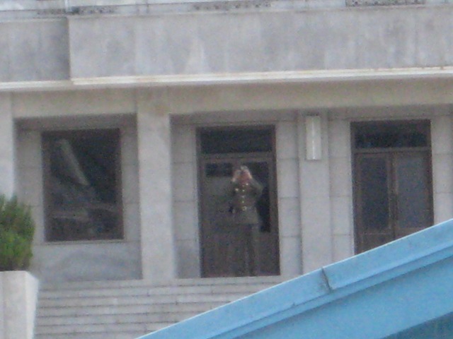
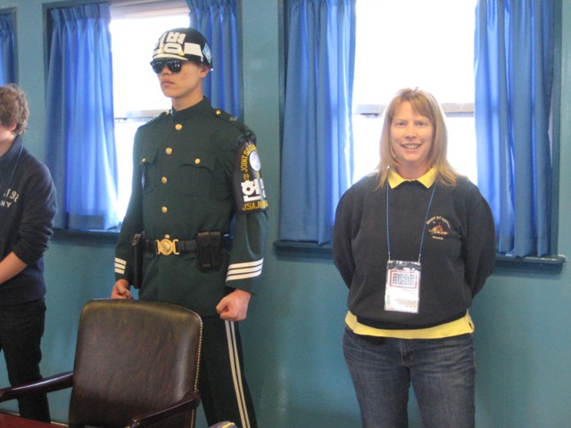
We went inside one of the buildings that was used for negotiations. While we were inside, we were guarded by 2 ROK (South Korean) soldiers. They are specially choosen from the South Korean military and we were told that they have very strict qualifications: they all have to be tall, specialists in at least 1 form of martial arts, all fluent in speaking English, and I believe most have a college degree. They stand at this martial arts "ready" stance at all times with this total blank look on their face.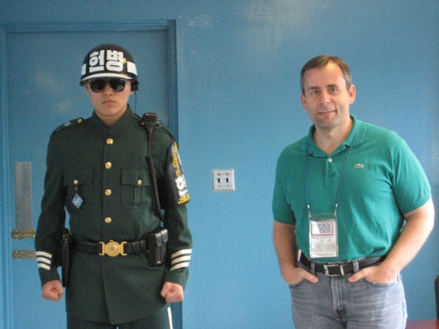
Here you can see the line of microphones/speakers on this table, and it is directly in the middle of the room and shows the Line of Demarcation between North and South Korean parts of the DMZ. So while it may not be "technically" accurate, I can say that I stood in North Korea .. or at least I stood on the North Korean side of the DMZ :-)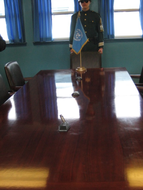
There are 2 villages actually inside the bounds of the DMZ and are called "peace" villages (although the American's call the one in North Korea a "propganda" village. On the South Korean side, the village is called Daeseong-odng and there are alot of rules in living there, like you had to be a direct decendant of someone living in the DMZ area prior to it being the DMZ, and you have to spend 240 nights within the DMZ per year. There are some exemptions for going to college, but in return, you don't pay taxes and are exempt from other requirements like military service.
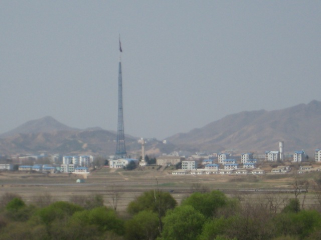
On the North Korean side, the village is Kijong-dong, and features a number of brightly painted, poured-concrete multi-story buildings and apartments with electric lighting. The town was oriented so that the bright blue roofs and white sides of the buildings would be the most distinguishing features when viewed from the border. However, scrutiny with modern telescopic lenses reveals that the buildings are mere concrete shells lacking window glass or even interior rooms, with the building lights turned on and off at set times and the empty sidewalks swept by a skeleton crew of caretakers in an effort to preserve the illusion of activity.
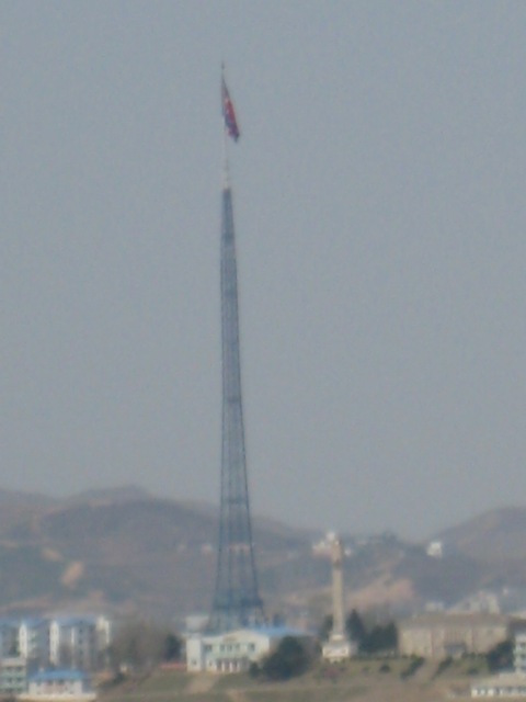
In the 1980's, the South Korean government installed a flagpole, almost 100 meters tall, and put a South Korean flag on it, in the town of Daeseong-dong. In response, the North Korean government put up what was then the tallest flagpole in the world at 160 m in their village, which you can see in this first picture.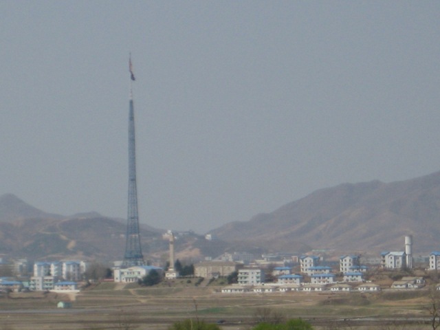
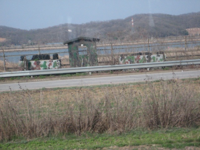
These are pictures of basically the area of the DMZ as seen from one of the checkpoints of the JSA. It is quite a deserted and barren area since there are no buildings or roads really.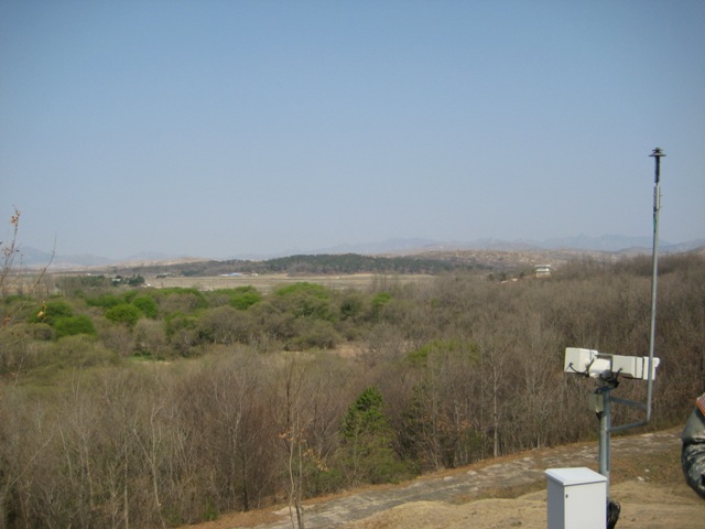
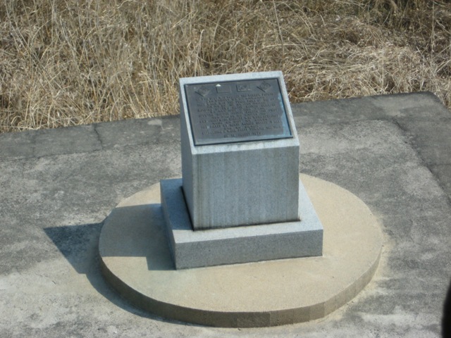
These markers are put in at short intervals and mark the actual Military Demarcation line.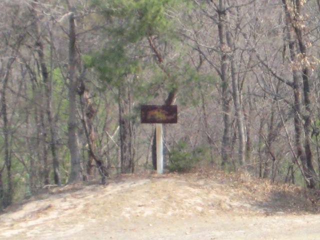
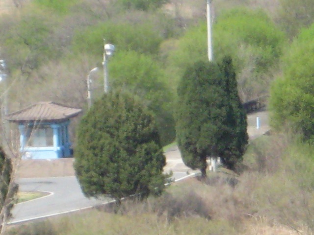
Hard to see from this angle, but to the right of the little blue guardhouse is the Bridge of No Return. It was used for prisoner exchanges at the end of the Korean War in 1953. The name comes from the claim that many war prisoners captured by the United States did not wish to return home. The prisoners were brought to the bridge and given the choice to remain in the country of their captivity or cross over to the other country. However, if they chose to cross the bridge, they would never be allowed to return.
You can also see a memorial monument along the side of the road, which marks the spot where a tree used to stand, which was instrumental in the Axe Murder incident. August 18th, 1976, two US Army officers were killed by North Korean soldiers inside the JSA at the blue checkpoint building. There was a 100-ft poplar tree which blocked the sight from the checkpoint and an observation post up on the hill (from where this picture was taken). On the day of the incident, a group wne tdown to trim the branches and were attacked by North Korean soldiers (the North Koreans say that the American's attacked them). In response to this, the American's cut the entire tree down and installed a memorial plaque.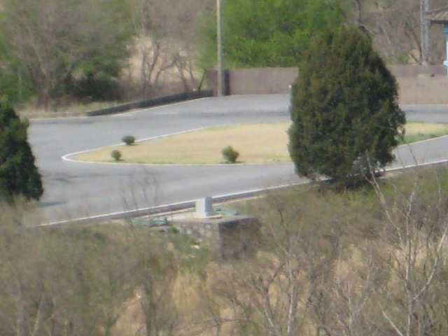
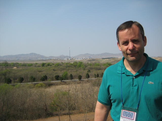
A couple pictures of Tom with North Korea in the background.
A closeup of the Bridge of No Return.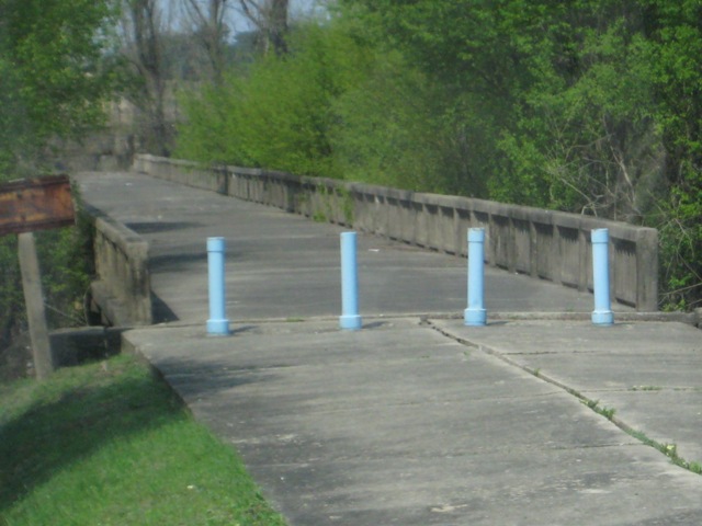
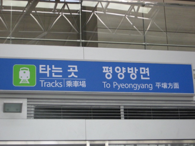
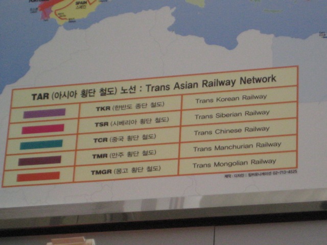
We stopped by a train station that shows the Trans Eurasian Railway Netowrk and now the newly-opened rail line could allow a person to travel from South Korea, through North Korea, and into Russia and all the way to Europe. There was a set of tracks to catch a train to Pyeongyang in North Korea.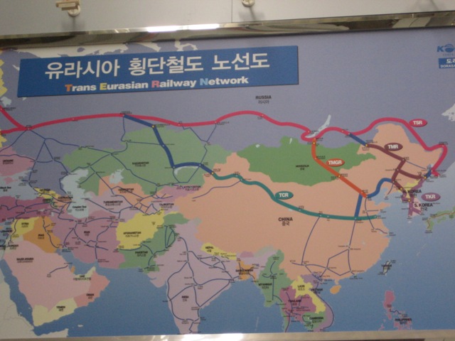
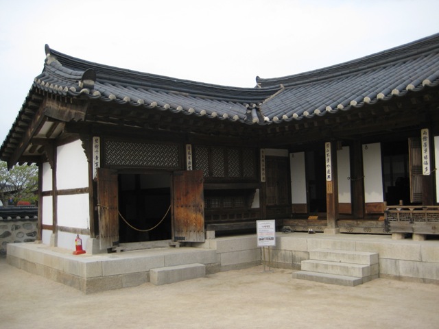
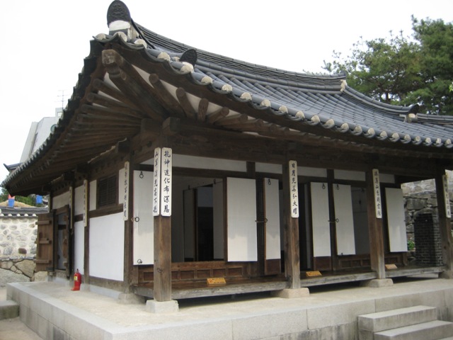
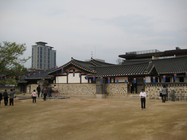
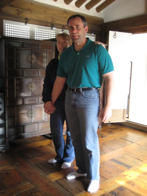
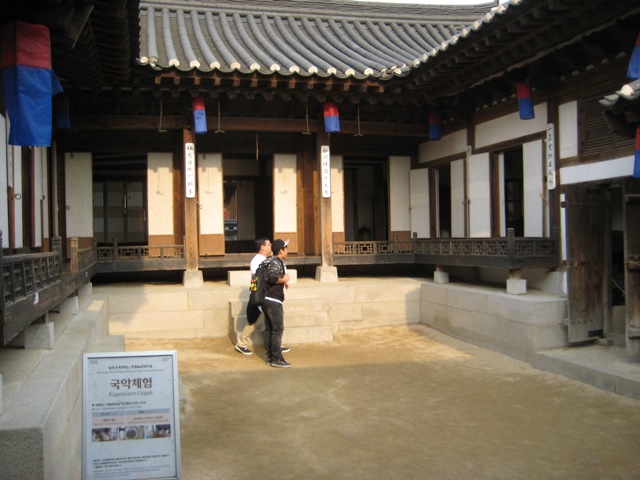
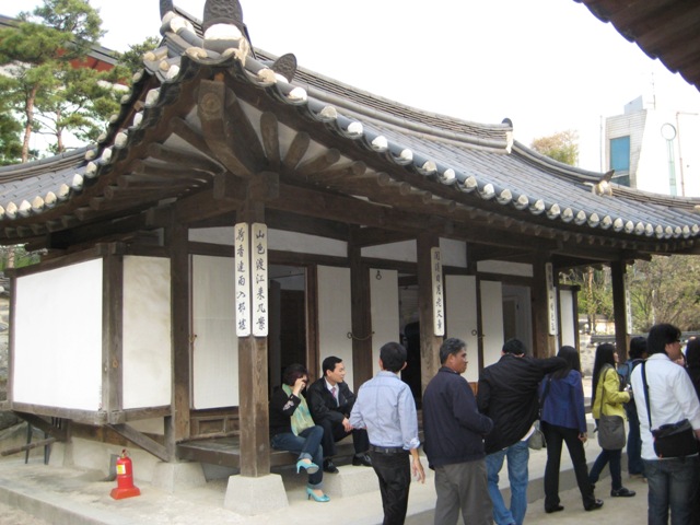
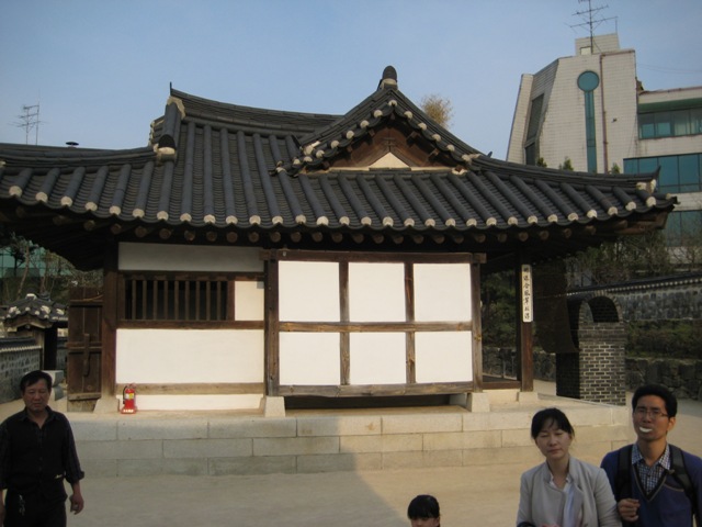
Next on our agenda was the Namsangol Hanok Village, which is another village of traditional Hanok houses, although this one was more of a "tourist" location and less of just where people lived. It is also known as "A Village of Traditional Houses in the Namsan Valley" and it has various Korean traditional houses that have been restored to preserve the original atmosphere of the area. At the front, we got Tom as a traditional Korean warrior.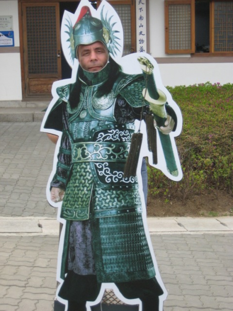
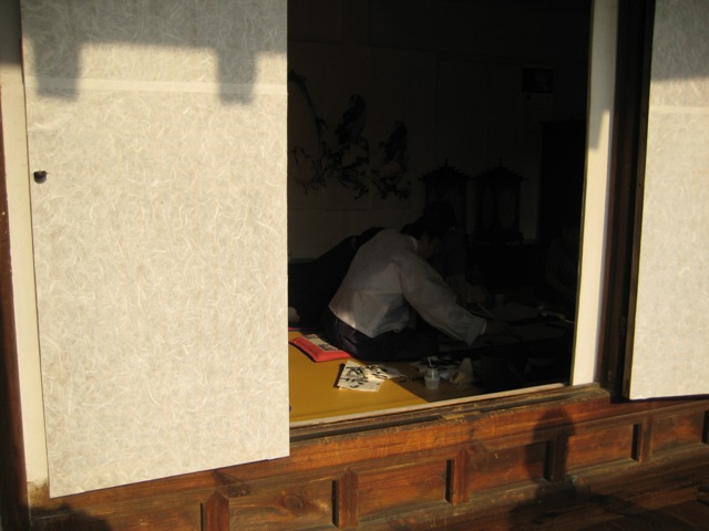
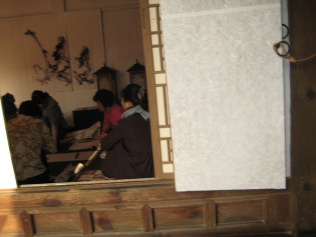
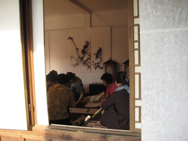
At the entrance, there were some people doing traditional crafts, including weaving shoes.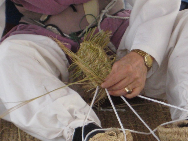
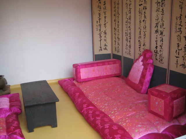
I won't give much details on these individual houses, but they were all traditional houses that were moved here into a general location. Some were larger than others, but most were in the same general style.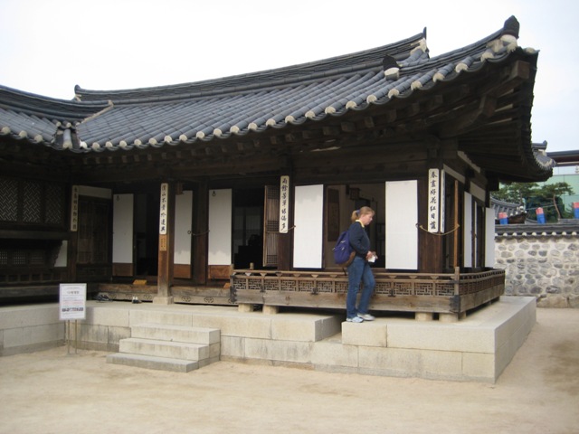
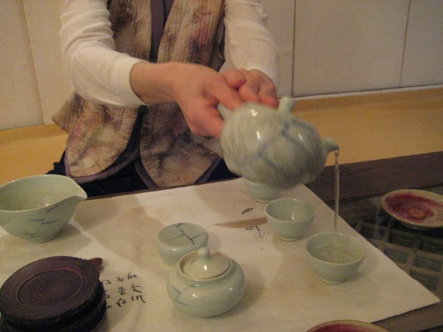
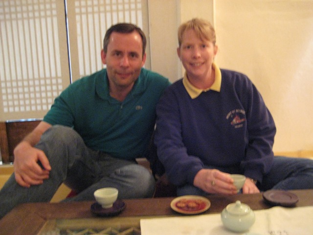
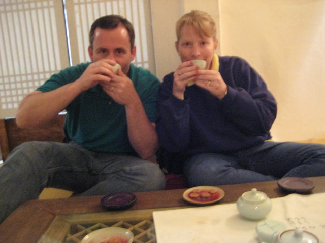
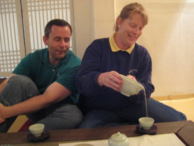
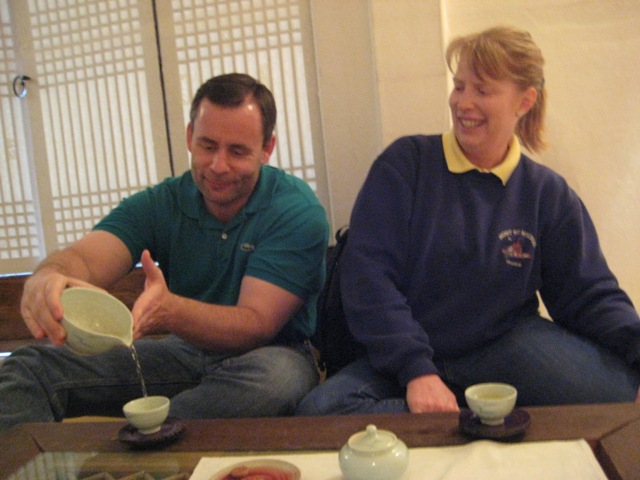
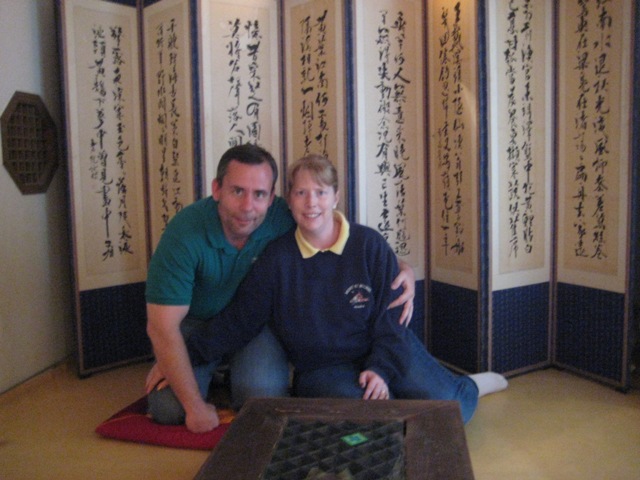
We did a traditional Korean tea ceremony, including using these little wooden molds to make a little cookie-like thing that we ate with the tea, that had a peanutty taste.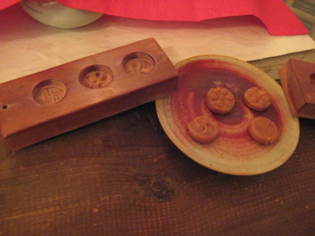
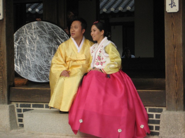
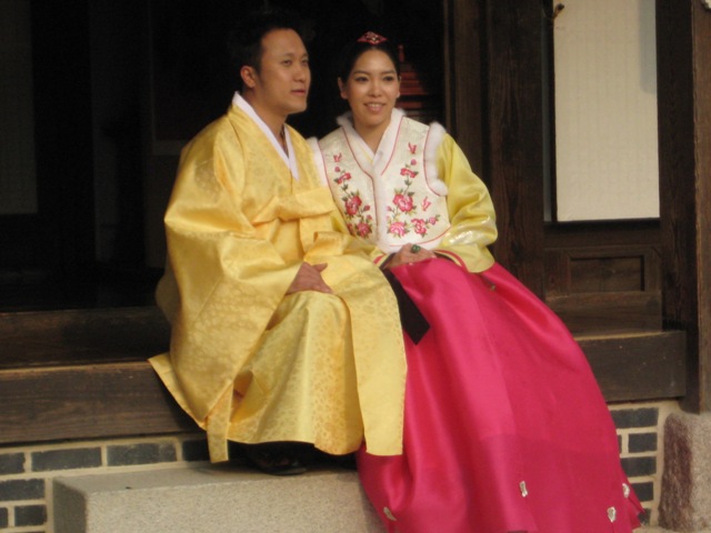
We think this may have been a wedding couple in traditional korean dress, having their pictures taken, not only by their wedding photographer, but also by about 18,000 tourists!!!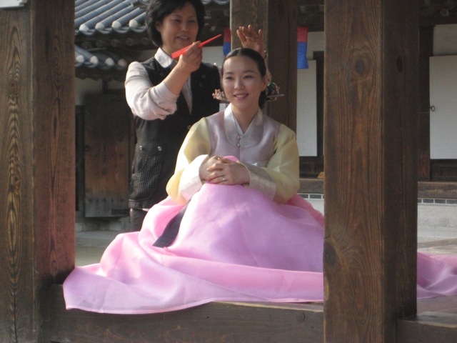
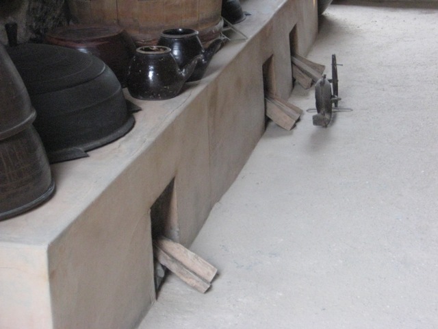
Traditional Korean houses have a very particular underfloor heating system, called Ondol. The system uses direct heat transfer from wood smoke to the underside of a thick masonry floor. There is a firebox or stove accessible from an adjoining (typically kitchen or master bedroom) room, a raised masonry floor with horizontal smoke passages, and a vertical, freestanding chimney on the opposite exterior providing a draft. The heated floor is supported by stone piers or baffles to distribute the smoke, covered by stone slabs, clay and an impervious layer such as oiled paper. Here you can see the chimney where the heated smoke would be pulled under the house (heating the floor) and them come out into the open air.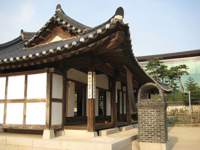
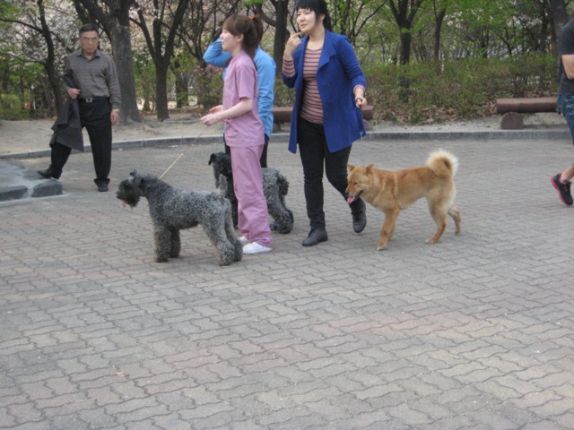
Up next door to the village we walked through a little park where there were these dogs that seem to have been "show" dogs, since they were practicing the walks with them.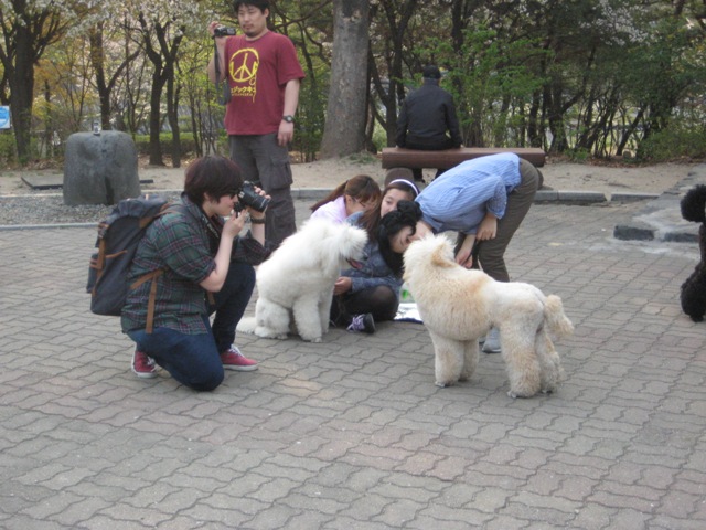
There is also a time capsule that contains artifacts.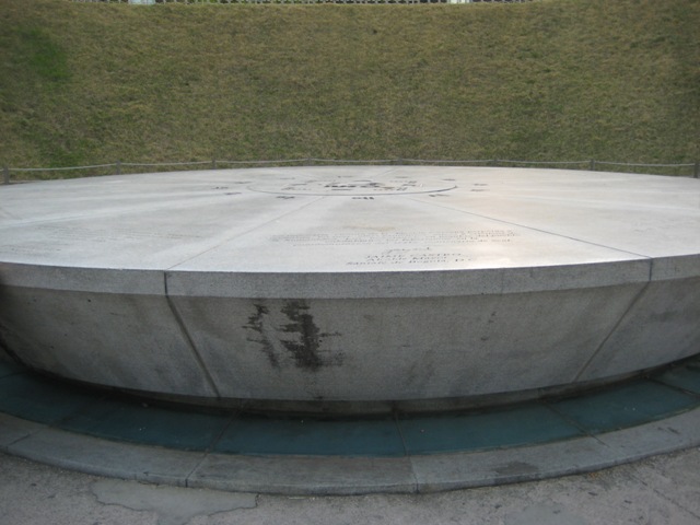
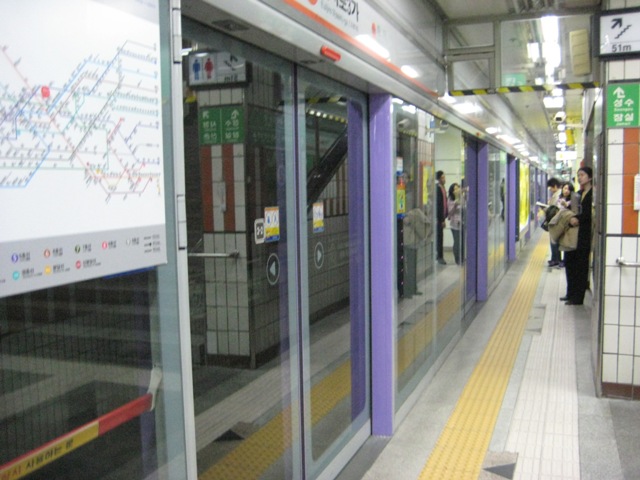
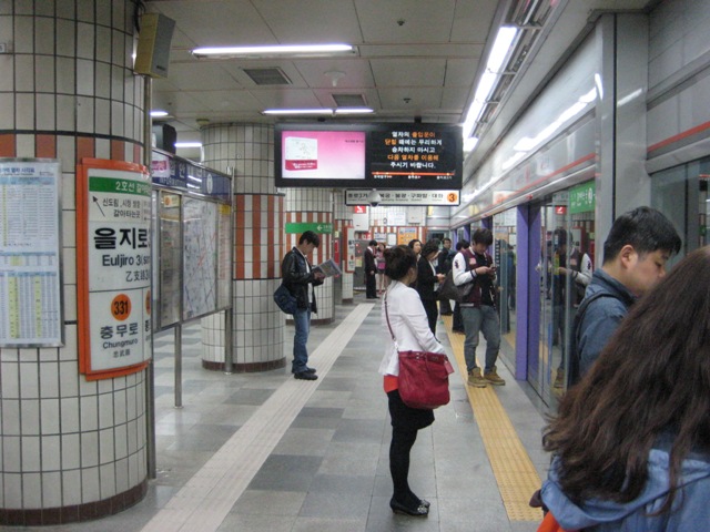
So, more on our fascination with metro systems! The Seoul subway was kinda interesting to us, and very easy to use. Similar to some of the lines are getting in Paris, and most of the stations in Shanghai, there are doors that keep people from getting down into the tracks. The unique thing for Seoul is that there is music that plays that indicates a train in entering the station, and the music is different on each platform. It was interesting to hear!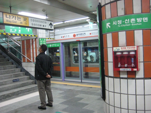
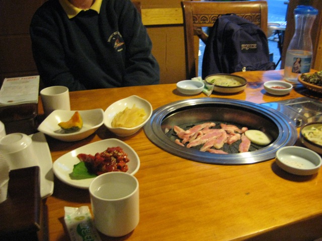
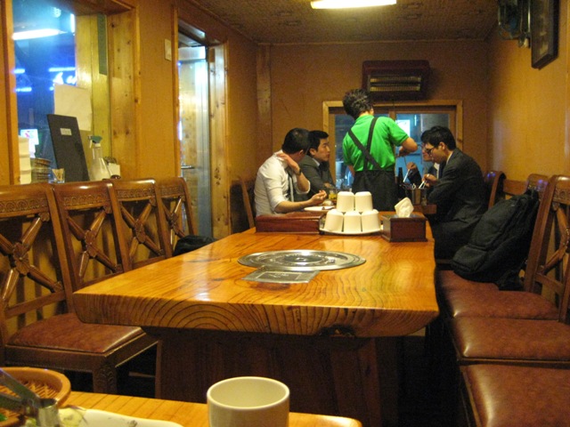
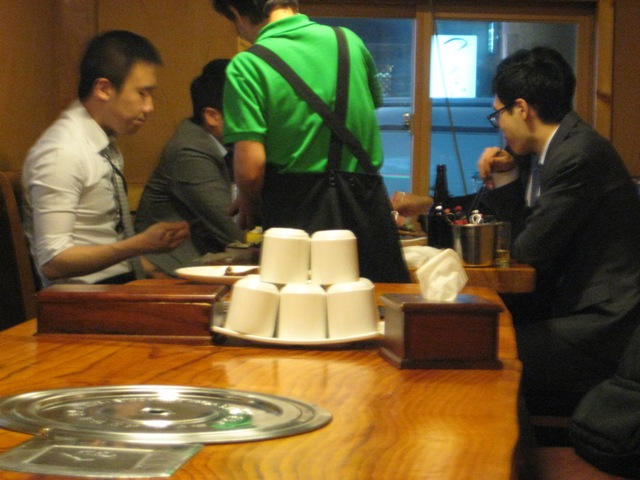
Dinner time again. This time near the Anguk metro station there was a Korean BBQ place listed as highly recommended. We had a bit of a problem finding it. We obviously looked confused and a nice lady asked if she could help. She didn't know exactly where the restaurant was, but actually CALLED the restaurant on her mobile phone and got directions!! Amazing!!
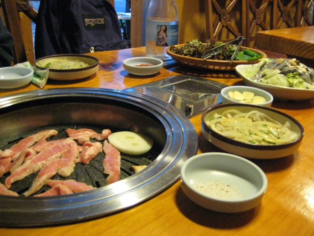
So in the middle of the table is a grill that gets heated and they bring all this food to you and you cook it yourself on the little grill.
They also include TONS of sides. They give you lettace leaves that you take in your hand, add the meat and toppings, a sauce and spices, and wrap it up into a little package and eat.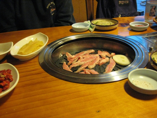
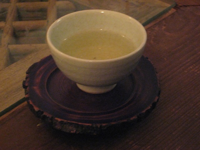
This was a little tea place near the hotel that we stopped at for a "night cap" of korean tea, and it was decorated as a garden or park.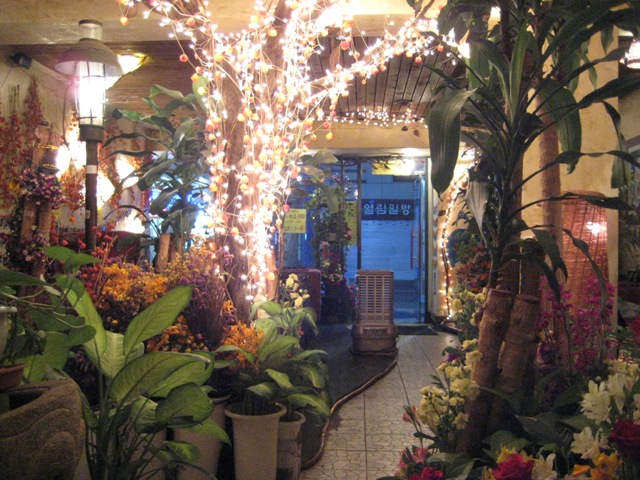
Getting down to the end ... head on over to Day 4.