Our Blog - Hawaii 2015 - Volcano Trekking
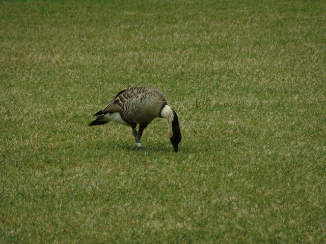
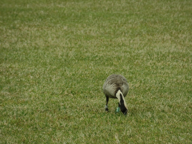
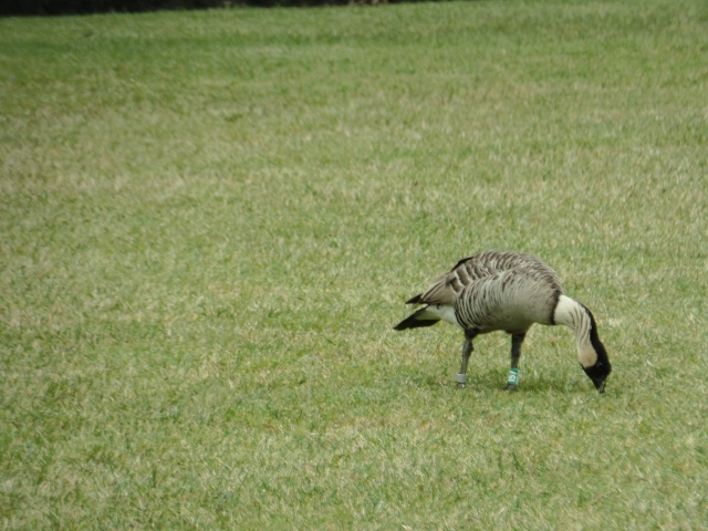
We decided to take a tour for the Volcano trekking, so that we had someone that might know something about what they were talking about. On the way up to Volcano's National Park, we got to see the Nene, or Hawaiian goose. It is a species of goose that is endemic to the Hawaiian islands. Throughout the tour, the guide kept on mentioning species of plants and animals that are endemic to the islands, which means that the species is unique to a defined geographic location and doesn't exist anywhere else. It is the official bird of the state of Hawaii, and is exclusively found in the wild on the islands of Oahu, Maui, Kauai and Hawaii. The nene is the world's rarest goose, having gone from 25,000 geese when Captain James Cook arrived in the islands in 1778 to a population of about 30 in 1952 (due to hunting and some predators that got introduced for other purposes). There are now about 2500 birds.
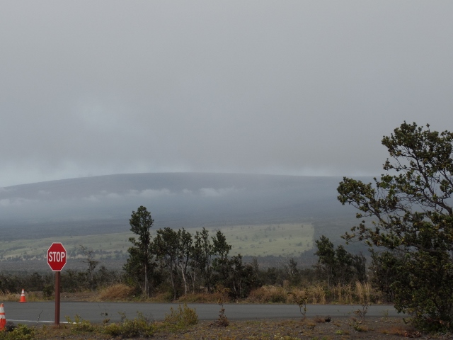
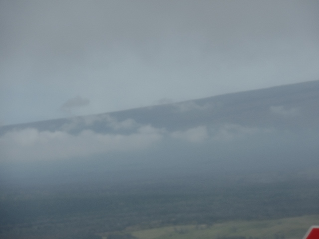
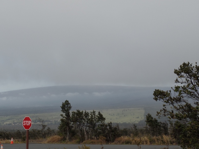
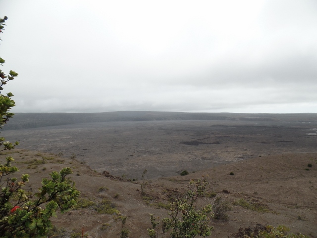
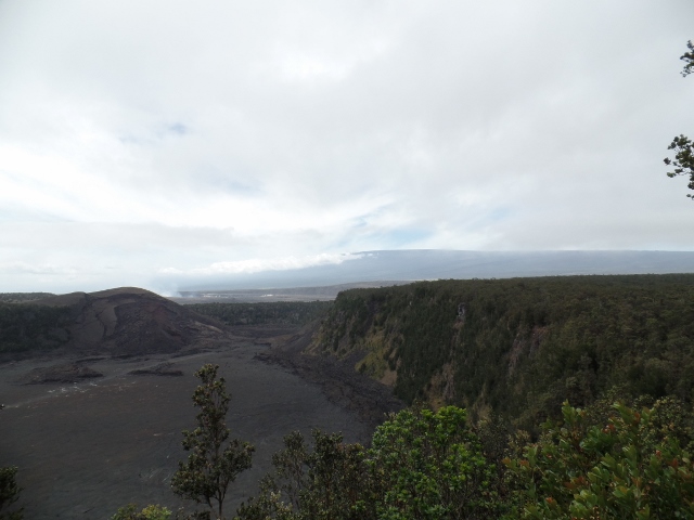
We didn't have the best weather since it was cold and overcast a bit, but you can see the slope of Mauna Loa, which has historically been considered the largest volcano on Earth. It is shorter than Mauna Kea but has a volume estimated at about 18,000 cubic miles.
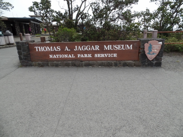
One of our first stops was the Thomas Jaggar Museum, which contains a bunch of exhibits on the work that is done at the Hawaiian Volcano Observatory (which is not open to the public).
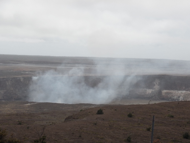
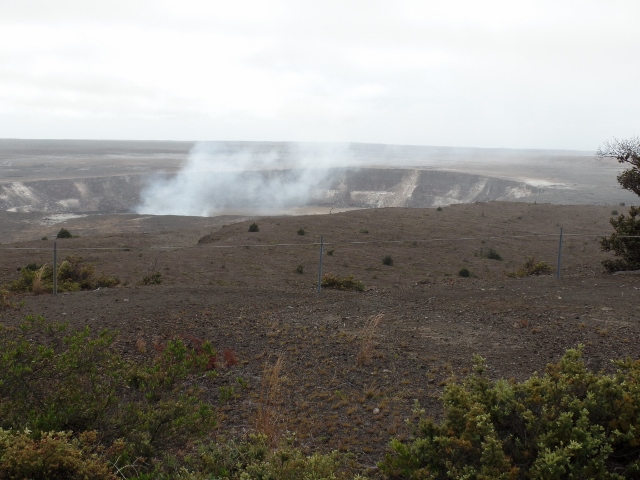
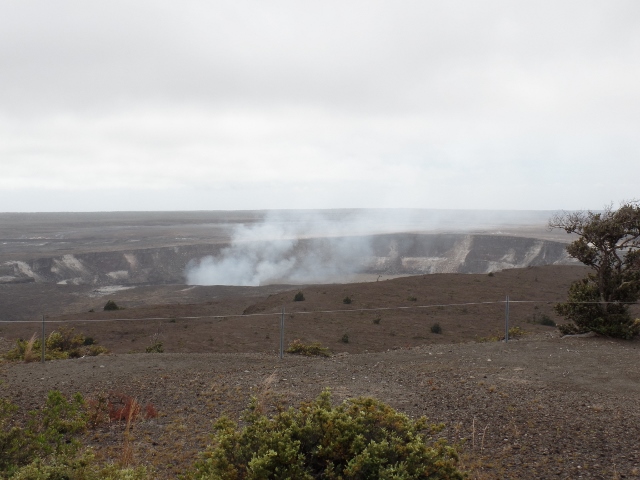
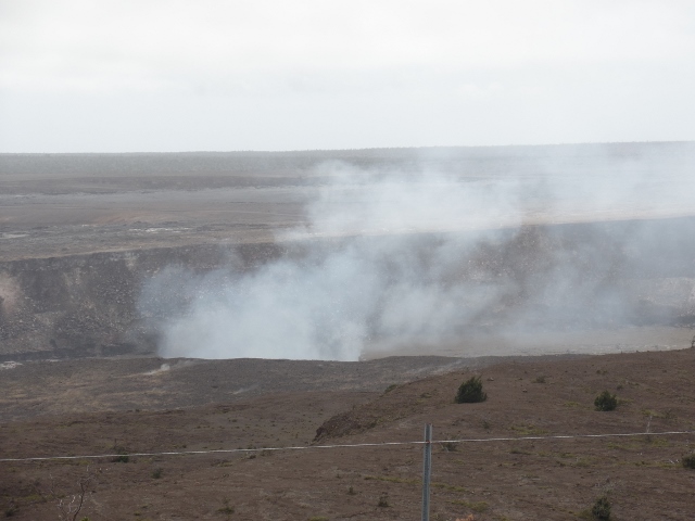
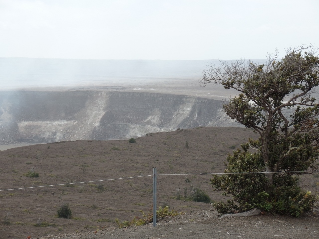
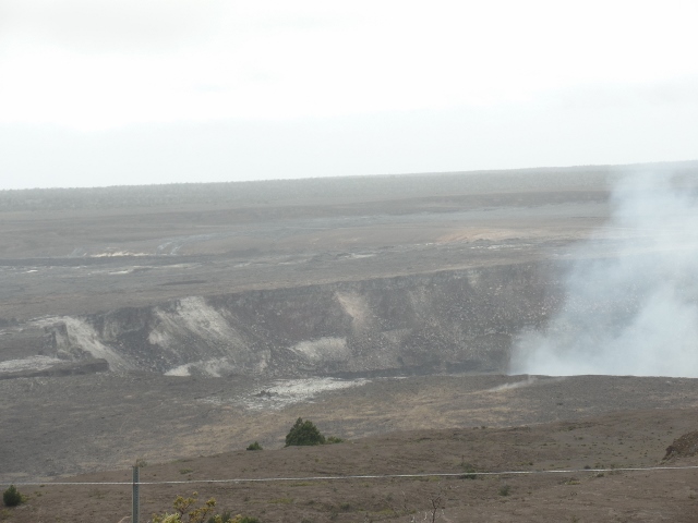
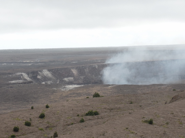
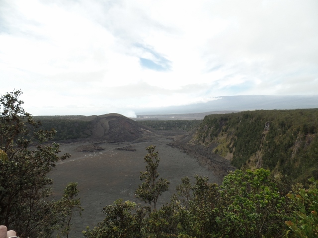
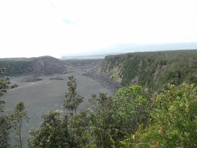
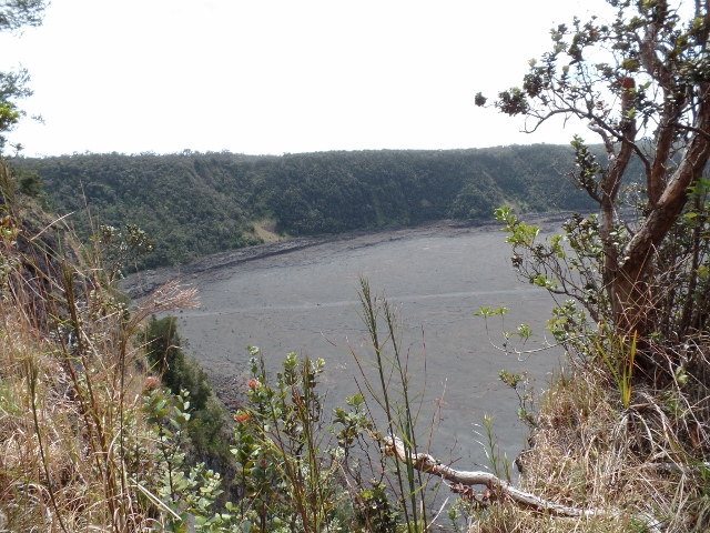
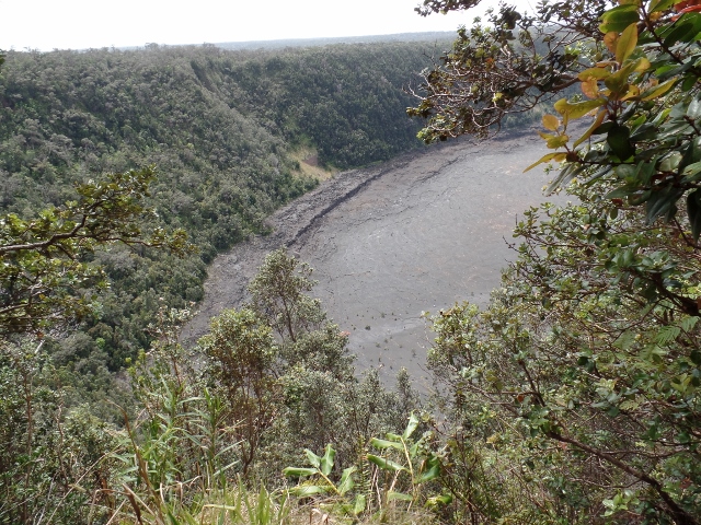
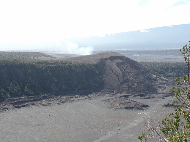
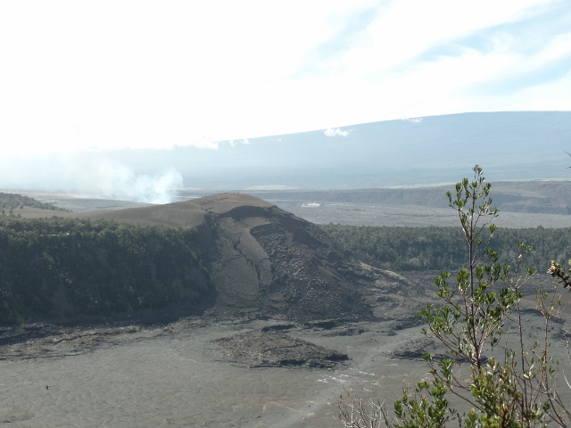
From this area, you can see the caldera of Kilauea. Kilauea is consider a hyperactive shield volcano and is the most active of the 5 volcanoes on the island. The current eruption is the longest-lived, having started in January 1983. As of December 2014, the June 27 flow from this eruption threatens to enter the town of Pahoa, and to cut Highway 130, the only route into and out of Lower Puna. As a result, work has been carried out to reopen Chain of Craters Road, initially as a one-lane graveled surface, and to make Railroad Avenue and Government Beach Road usable as emergency routes.
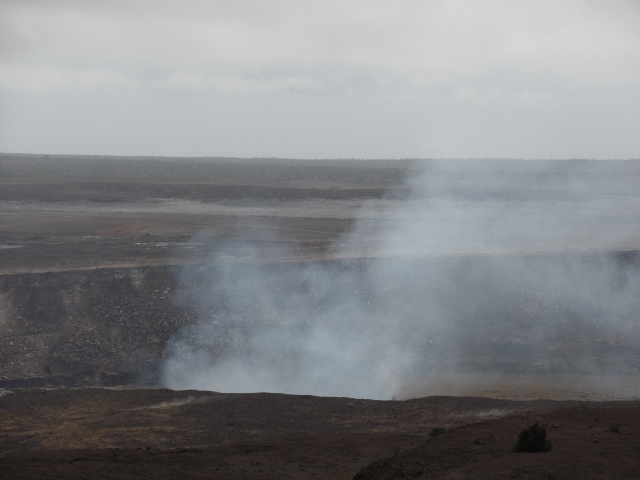
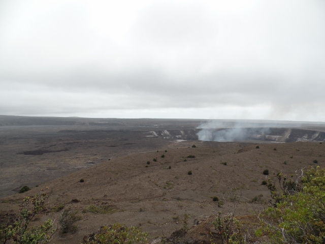
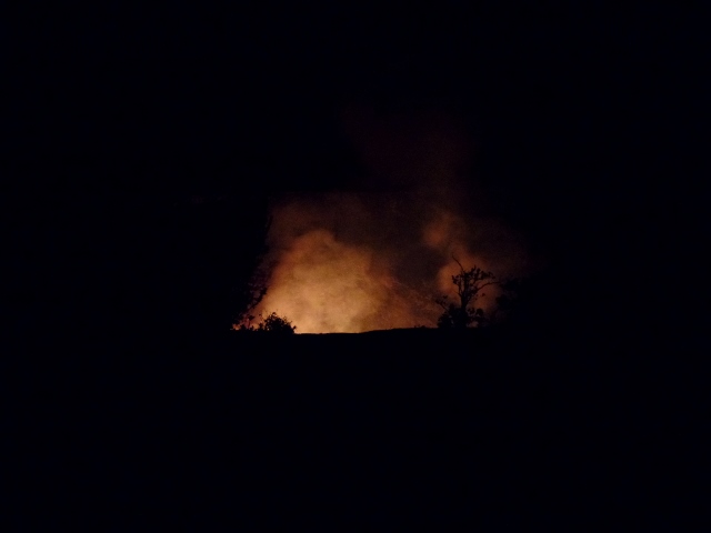
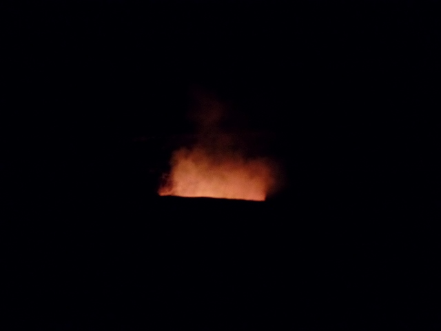
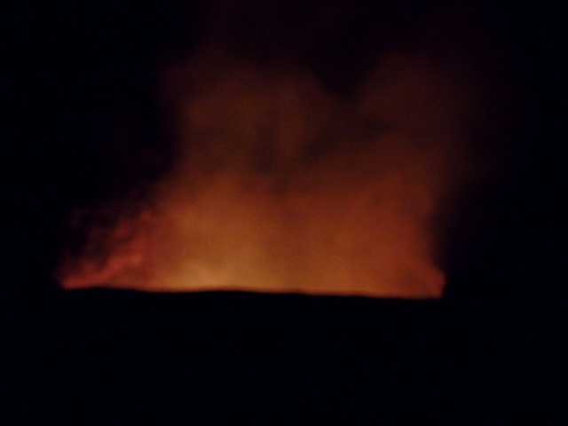
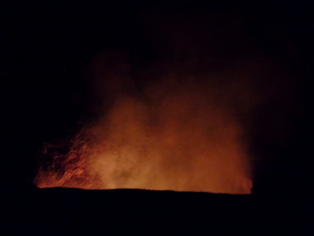
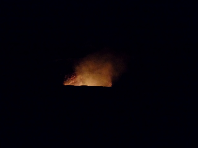
Here you can see the steam coming up from the caldera, although you can't see any lava. Later I have pictures at night where you can see the red glow.
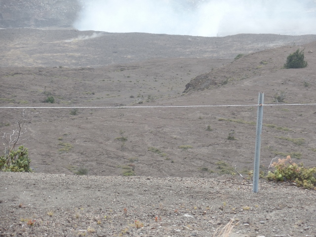
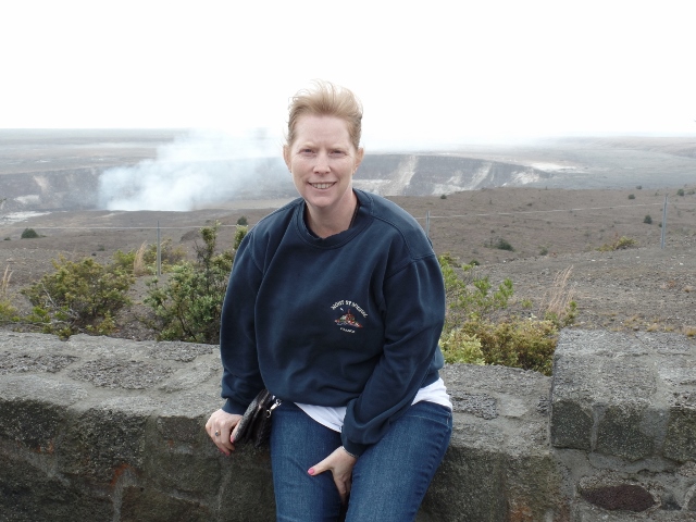
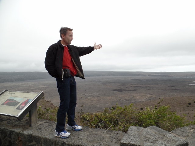
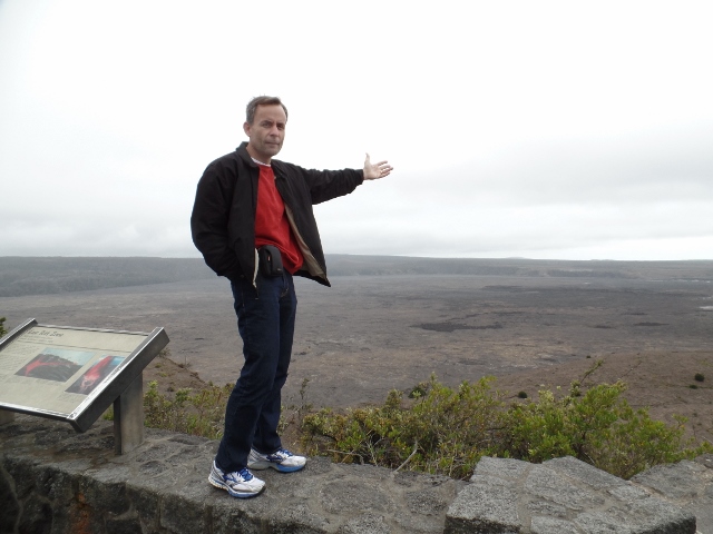
I look terrible here ... it was very windy ... but you can see the steam coming up from the caldera behind me.
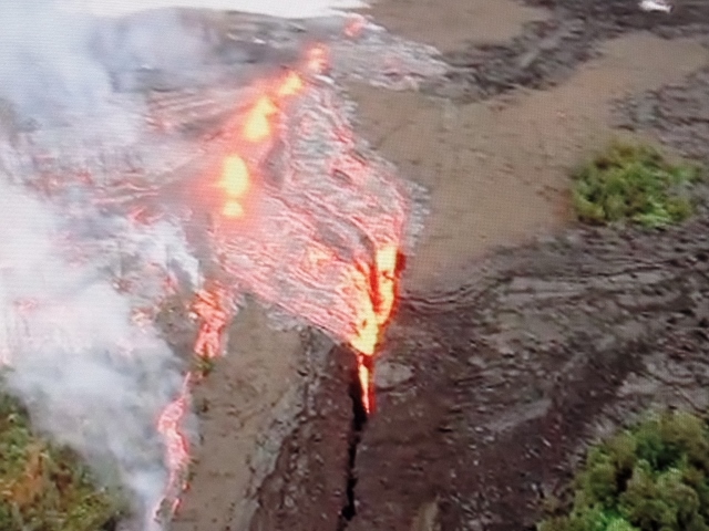
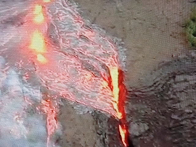
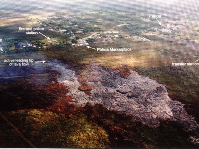
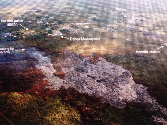
These are pictures from TV's inside the museum which shows lava flows.
Here is there the active lava flow is near the town of Pahoa. They say it isn't like a flowing red stream but more that from the air, it looks like just grey ash.
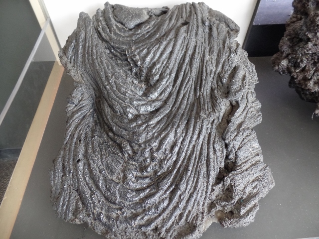
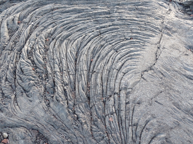
This what they call a Pahoehoe lava flow, which means as lava oozes to the surface from the molten interior of the flow, the surface of the lava rumples, much like a tablecloth does when it is pushed sideways. This produces pahoehoes characteristic ropy surface.
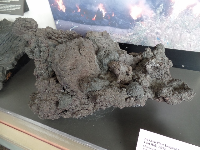
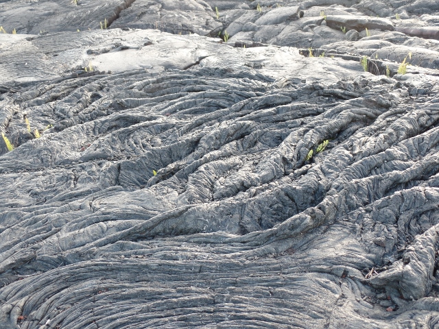
This is part of the lava flow that came from Kilauea's east rift in 1972, called "Aa". It is characterized by a rough, clinkery surface which forms when sticky, viscous flows break up while moving downslope. The reddish-brown color is caused by oxidation as the flow cools.
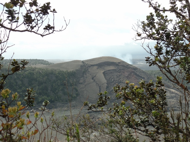
These are just pictures getting a view across the area.
I caught Tom in the act as well, standing up on the wall.
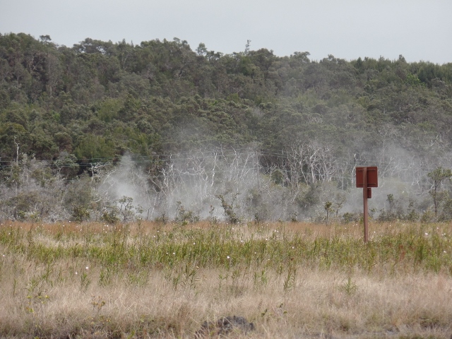
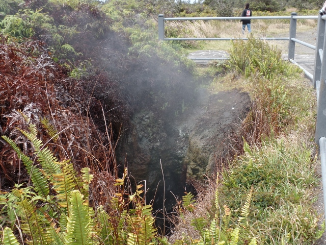
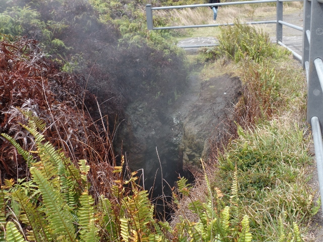
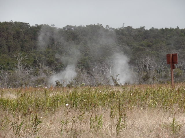
We were driving out to the next area and you could see steam vents, which are created were ground water seeps down to the hot volcanic rocks in this area and returns to the surface as steam.
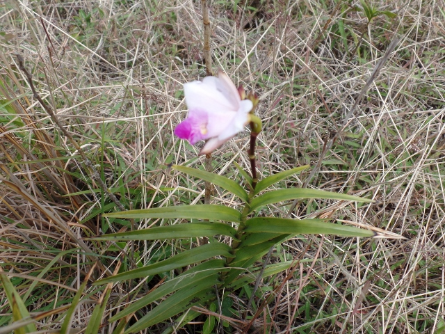
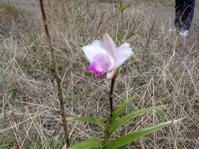
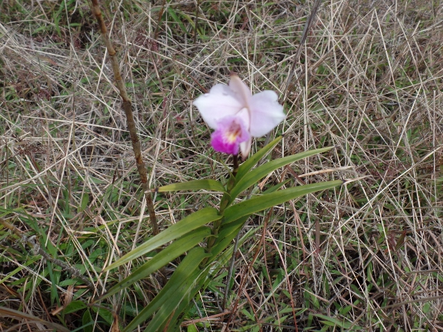
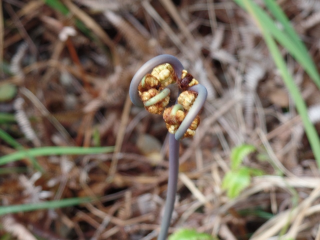
A few endemic flowers .. I forgot their name.
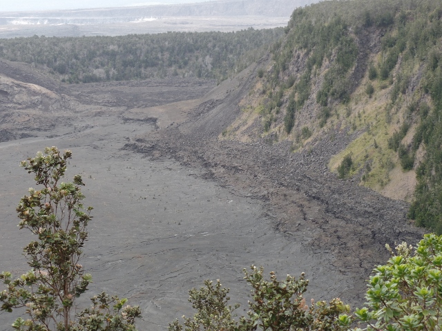
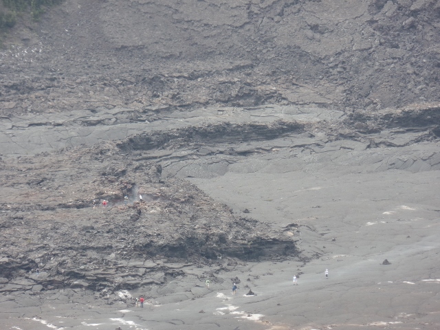
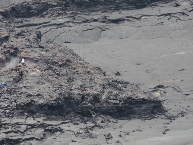
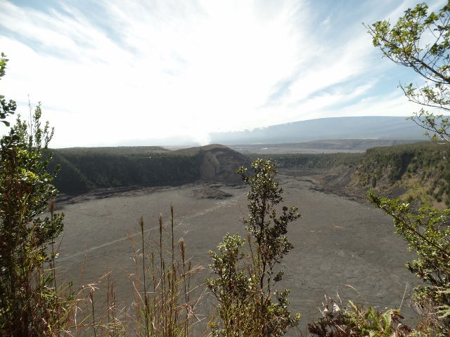
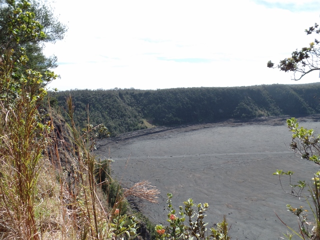
We then went hiking down toward the Thurston Lava Tube and we walked along a ridge where you could see down on the Kilauea Iki Trail. This trail, which we didn't do, is a 4 mile hike down to the floor of the solidified Iki Crater lava lake. If you look closely in a few of the pictures, you can see people walking down on the floor.
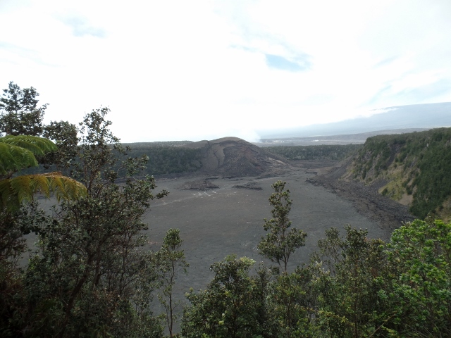
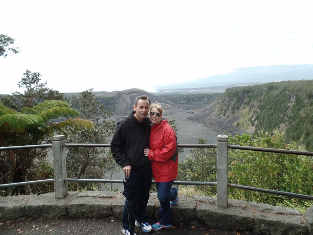
And amazingly enough, a picture of both of us together! This was a scenic outlook over the Iki trail where we stopped and got the tour guide to take a picture of us.
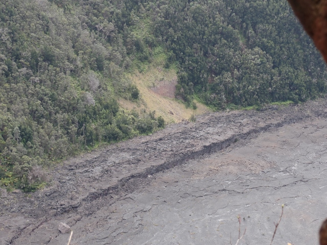
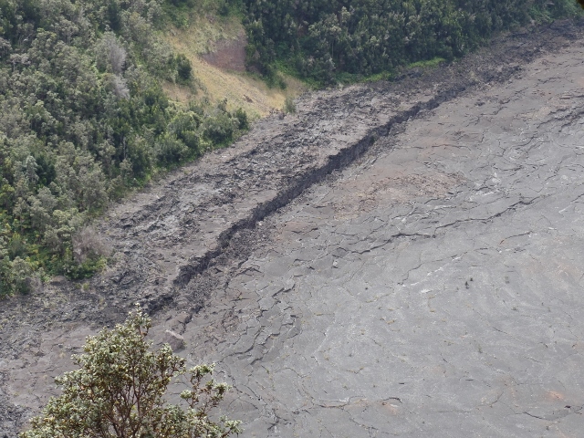
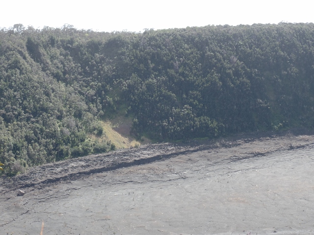
This was a little interesting, where it looks like a landslide has taken out part of the hill.
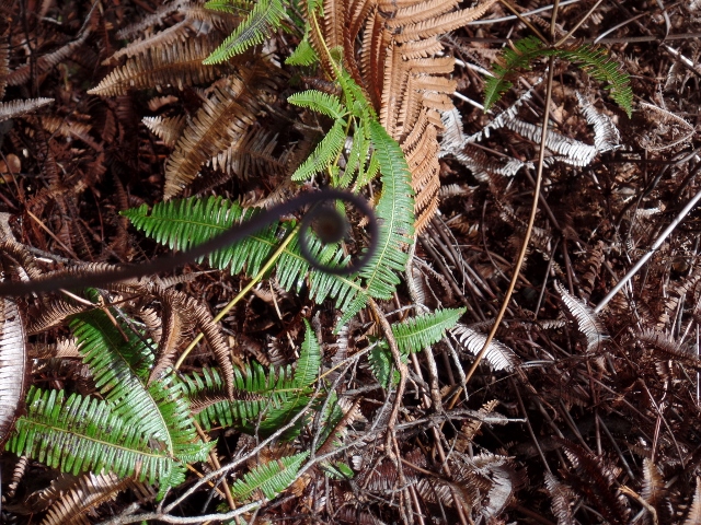
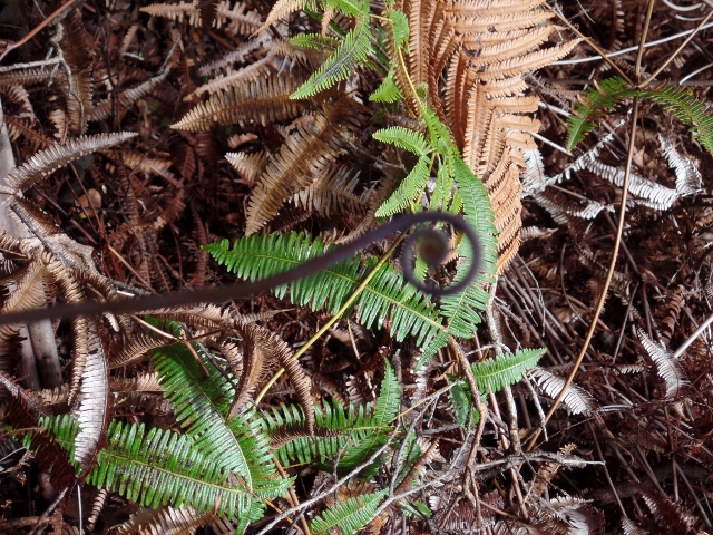
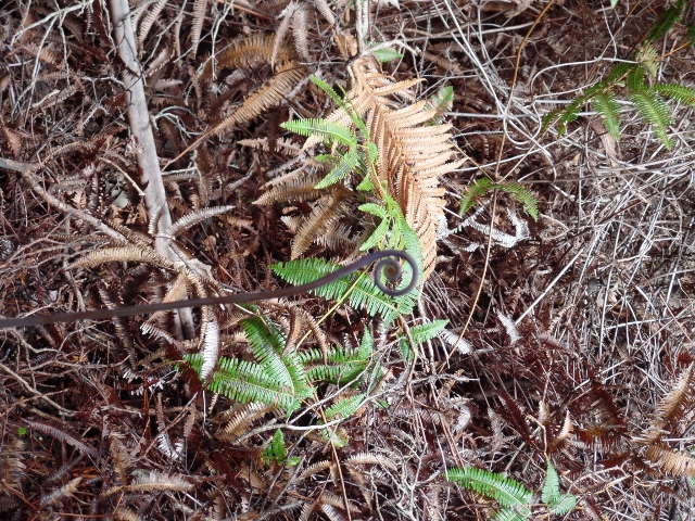
These are not the best picture, but you are looking at the little brown loopy thing in the middle of the picture. These are the shoots of another endemic plant, a fern called the Uluhe plant. The wiry stems of this climbing fern divide into double pairs of twin fronds. They form dense thickets in forest openings but die back as the treetops close in and shade them out.
And more lava pictures :-)
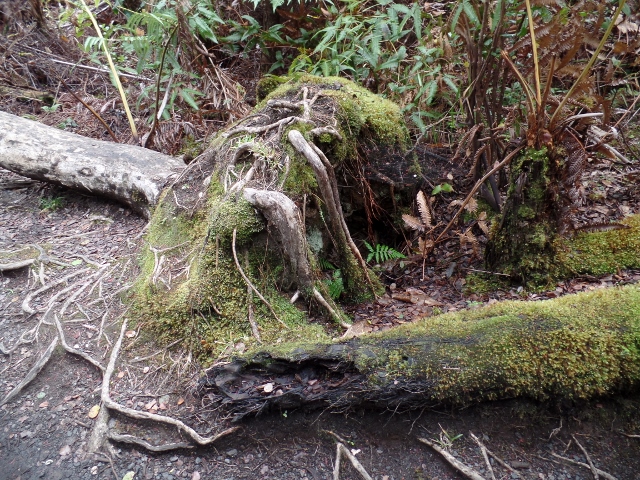
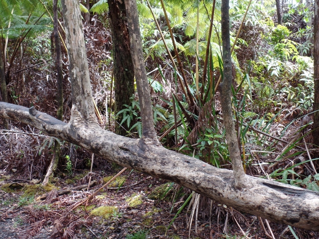
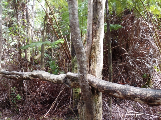
So this will be (I think) interesting ... In the first picture, you see that a tree has fallen (you can see the root ball in the middle of the picture. As it fell, it ended up landing on another tree and you can see how the branches are now basically growing upwards from the fallen trunk.
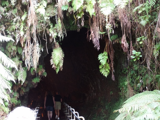
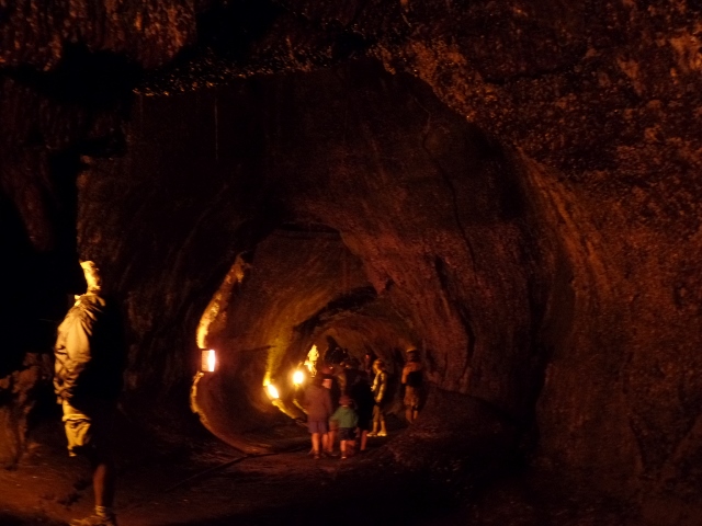
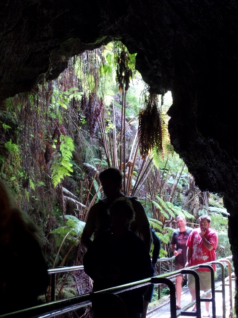
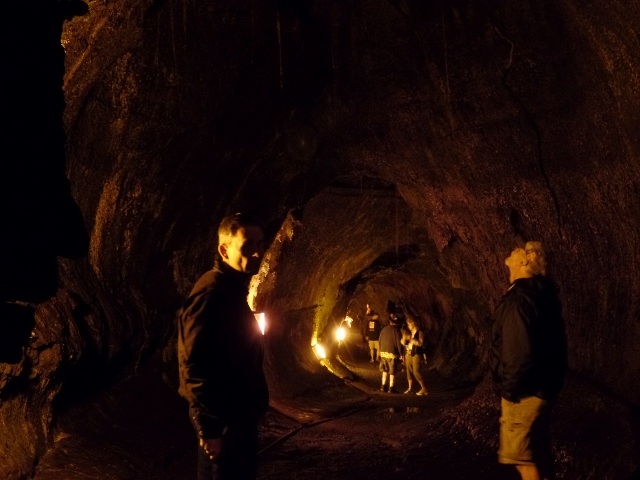
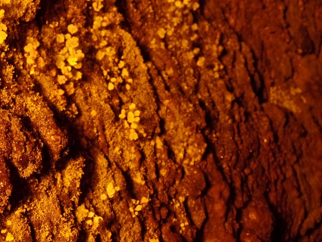
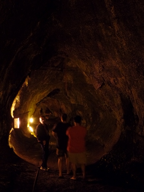
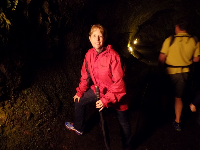
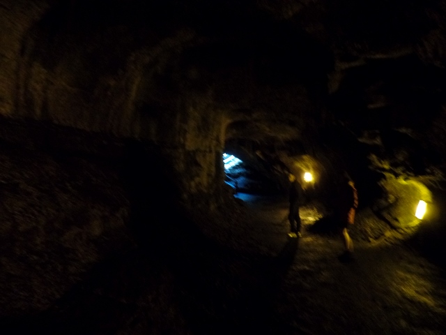
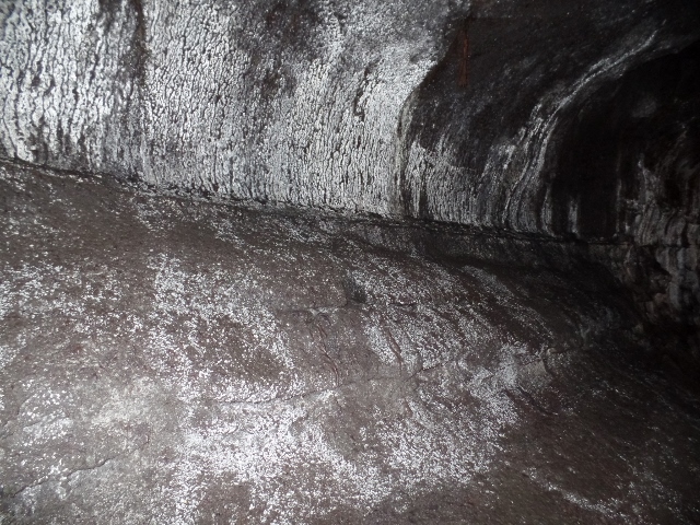
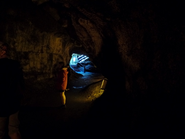
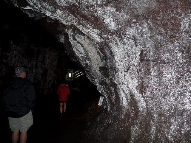
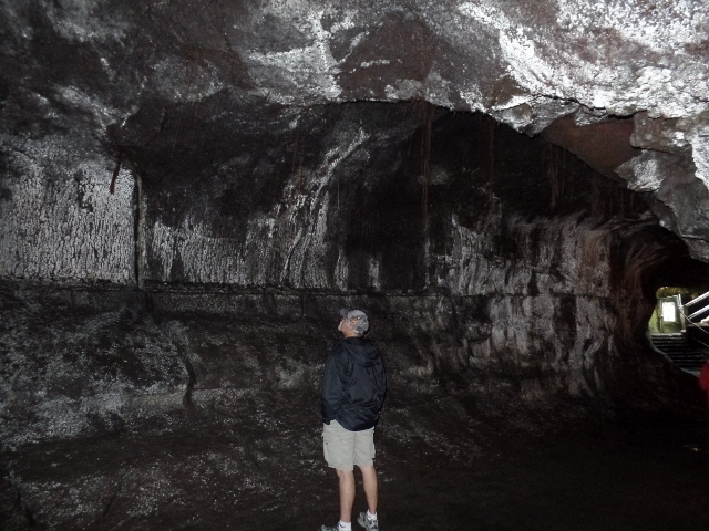
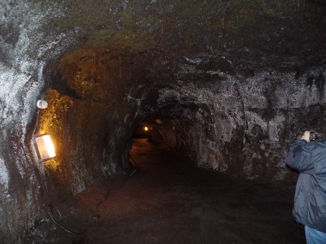
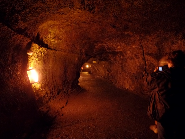
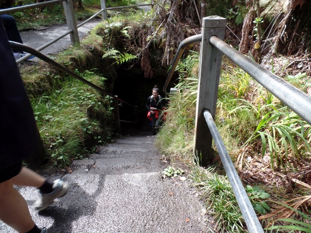
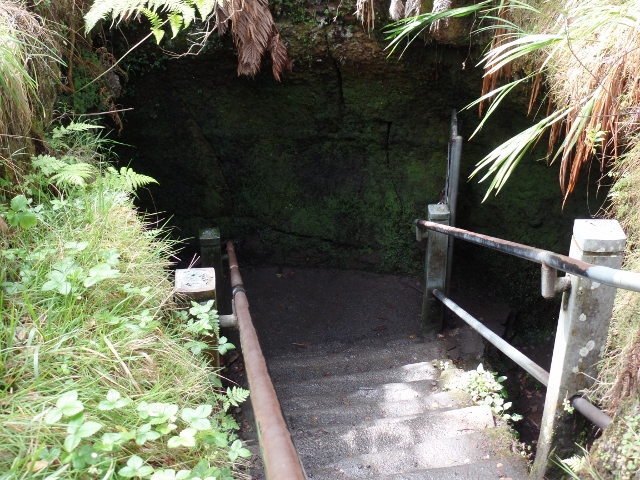
The following pictures are all from the Thurston Lava Tube. A lava tube is a natural conduit formed by flowing lava which moves beneath the hardened surface of a lava flow. Tubes can be actively draining lava from a volcano during an eruption, or can be extinct, meaning the lava flow has ceased and the rock has cooled and left a long, cave-like channel. This lava tube was discovered in 1913 by Lorrin Thurston, a local newspaper publisher. The entrance is just an open hole, overgrown with local flora. It has some lights in it, so you can see the tube as it goes through the ground.
And then more pictures of along the ride above the Iki trail on the walk back.
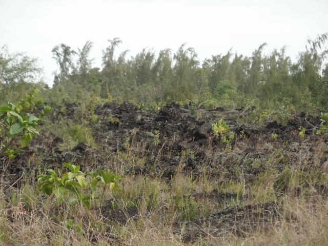
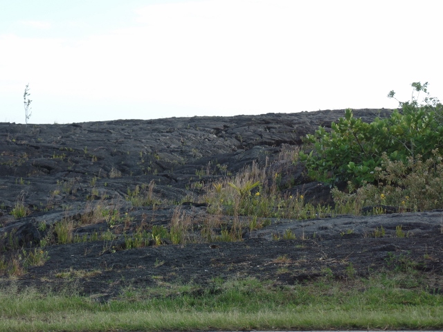
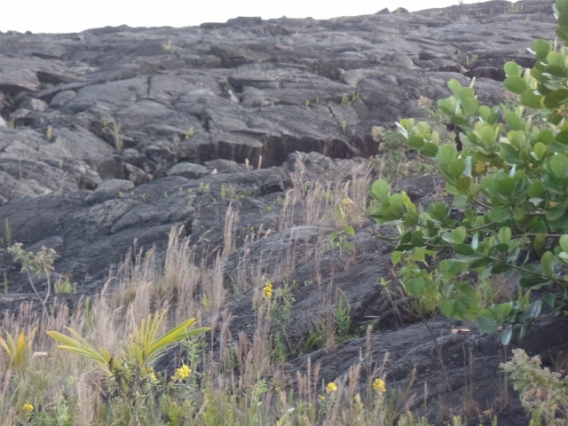
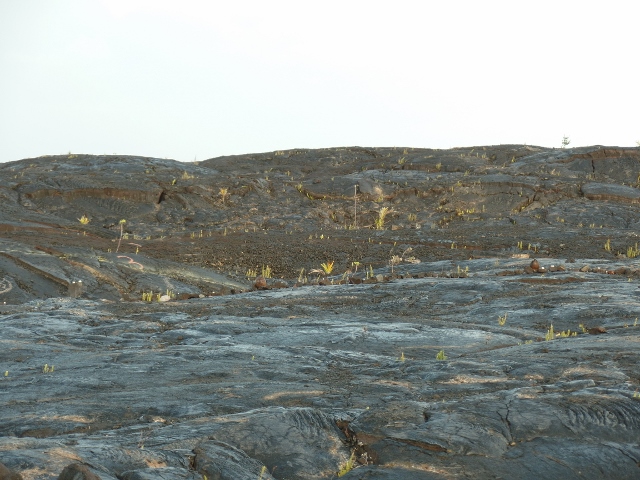
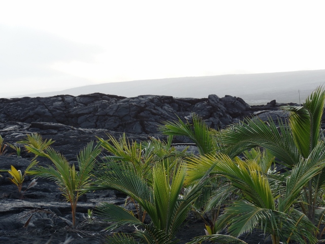
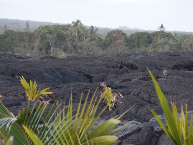
These are a couple interesting pictures showing how plants eventually start growing in the lava fields themselves.
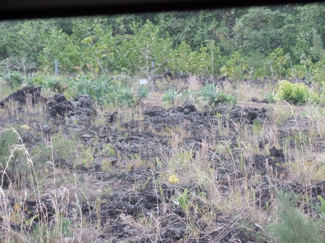
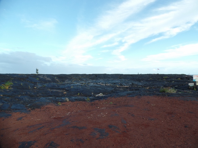
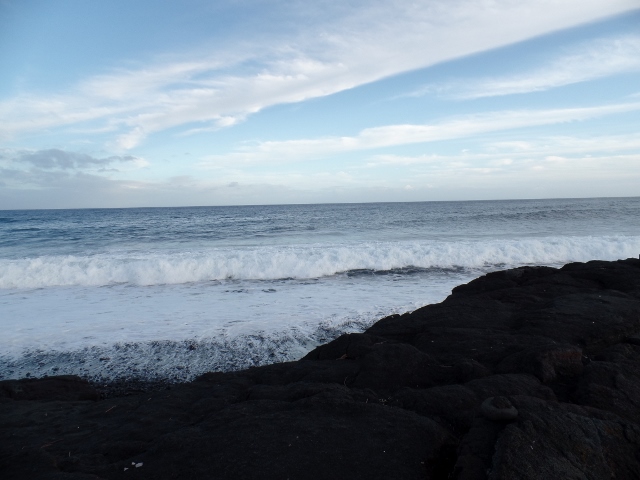
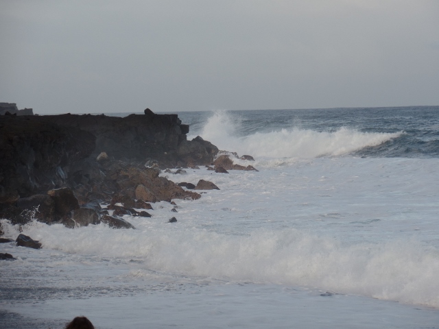
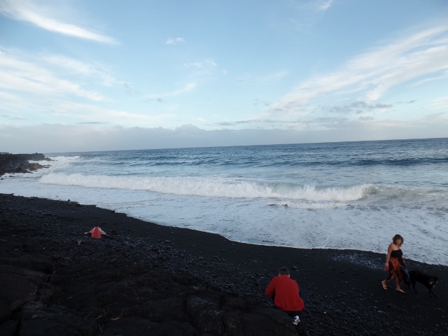
We then drove down on the south side and went by some great beaches and coastline as well as a couple lava fields. These were taken from the car on the way.
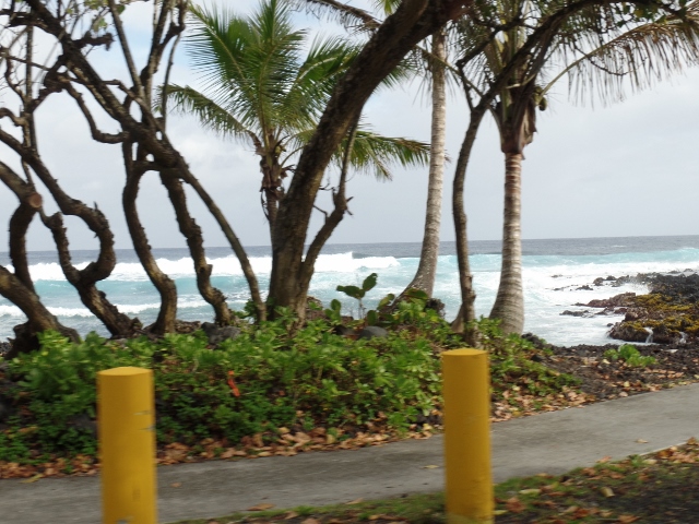
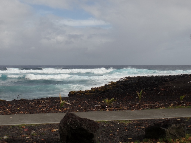
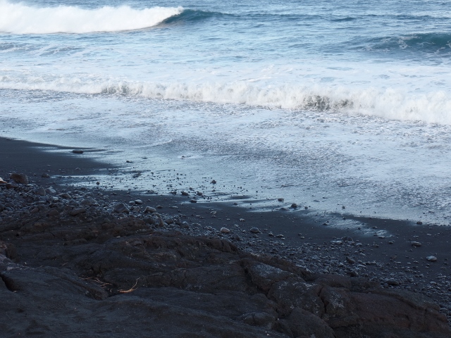
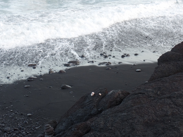
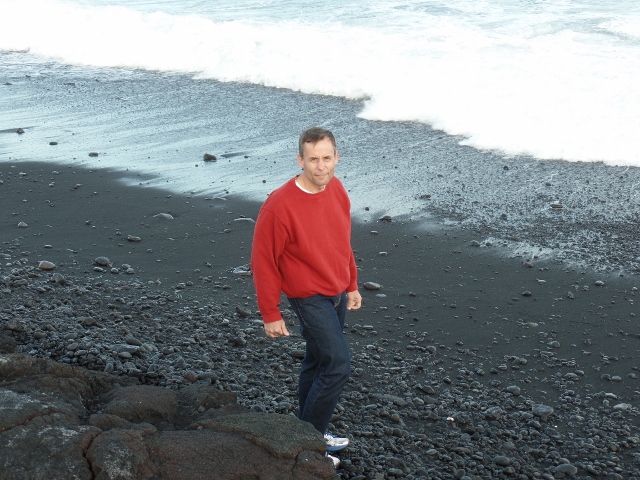
Then we stopped at the Kaimu New Black Sand beach. It is called "new" because the town of Kaimu, along with it's black sand beach, was completely destroyed by a lava flow from Kilauea in 1990. Now both the bay and the town are buried under some 50 feet of lava. A large section of State Route 130 (Kaimu-Chain of Craters Road) was also covered by the lava. The road is on top of the cooled lava now, with some homes built on top of the lava. There is also the New Beach, black sand like the old, where locals and caring visitors are helping to restore what was lost by bringing sprouted coconuts and planting them.
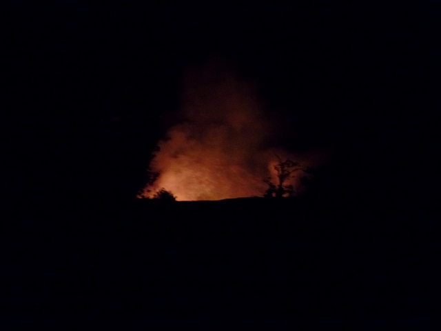
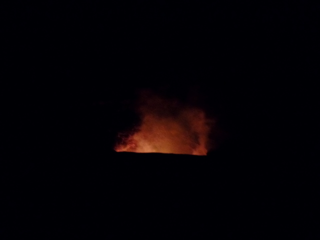
So then we did dinner in the town of Pahoa and then back to the rim of the caldera at night. Here I took a bunch of pictures trying to get the red glow of the lava...
Proceed to Mauna Lani and Snorkeling