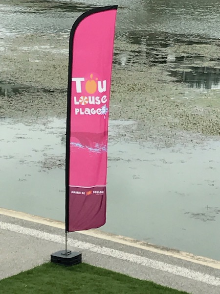
Our Blog - Toulouse Plages
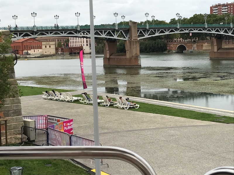
If you followed my blog back when we lived in Paris, you may have heard me talk then about the "Paris Beach" or "Paris Plage". During the summer, the city of Paris would block off a part of the banks of the Seine river and dump sand there to make their own beach, complete with chairs, umbrellas, etc. Toulouse, we found, does something similar although without as much sand. There are 3 different areas within Toulouse on the Garonne River: Port Viguerie and Prairie des Filtres in St. Cyprien, and the Espace EDF Bazacle. Today (August 27th) is the last day for the Plages at Prairie des Filtres and Bazacle, but it runs until September 10th at Port Viguerie.
The largest area is Prairie des Filtres, and there are lots of events there. For those who just want to relax, there are sun loungers, umbrellas, and misters available (since we have been having heatwaves here). They also have beach soccer, beach volleyball, table tennis, and badminton areas available. Then there are classes for various fitness activities, like Yoga, Crossfit, and Martial arts. You can rent canoes and kayaks on the Garonne River as well. For kids, there are lots of different areas and activities, including playgrounds, trampolines, water sliding, and large sand areas for making sand castles. Here is a map of those areas ... you can make out the general areas like "Espace jeux sur herbe" is the game area (space jeux) on grass (sur herbe). There is also dance (danse), fitness, nautique (canoes) and kids area (famille). The Biblioplage has lots of chairs and books that you can go and read .. books in French as well as several foreign languages and all types and ages. We walked through it one day although didn't really take pictures.

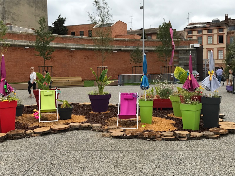
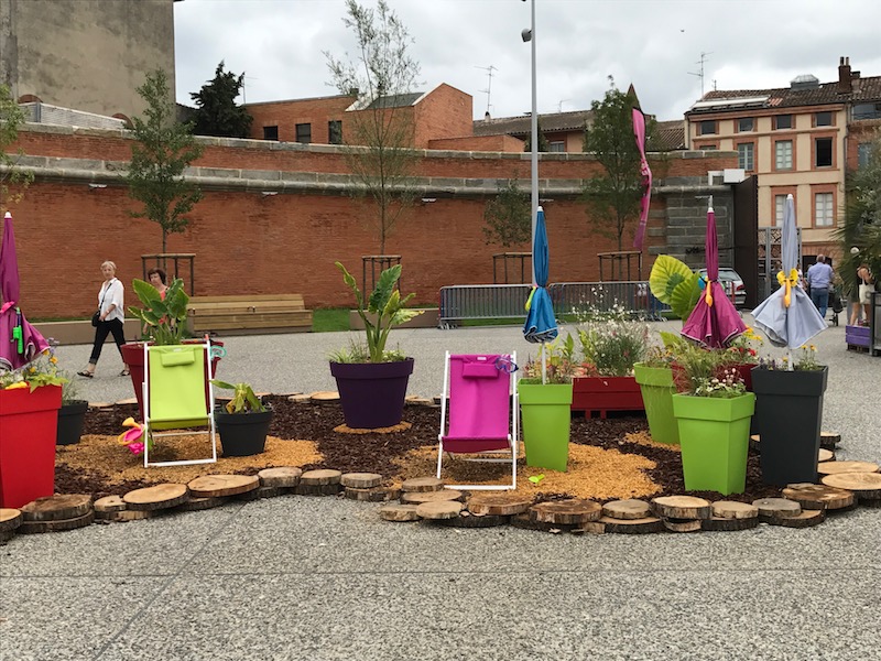
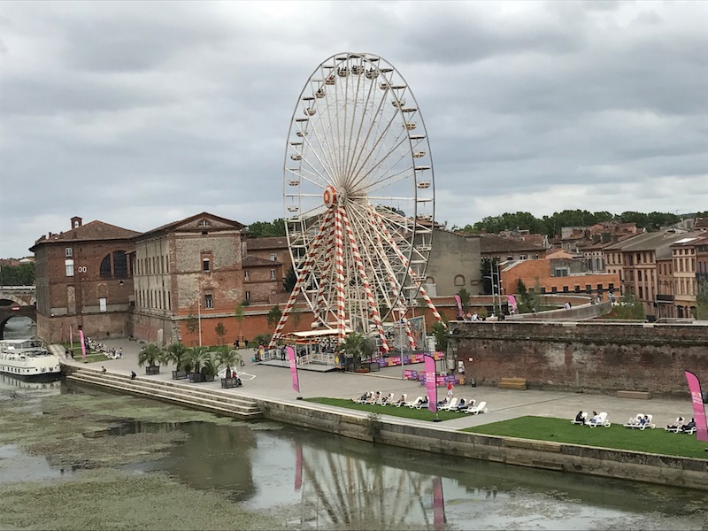
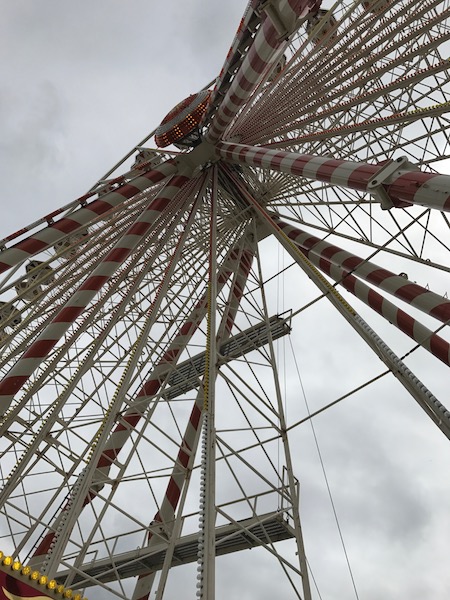
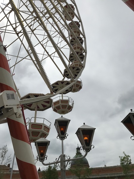
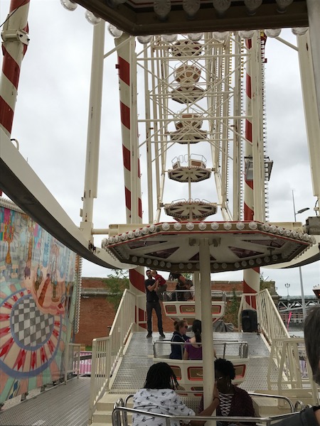
The one at Port Viguerie has some sun loungers and a floral garden, along with a big Ferris wheel, which Tom and I went on.
Here we are going up ...


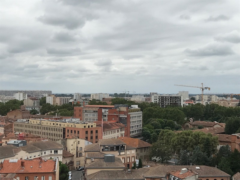
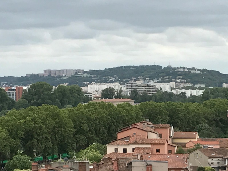
Here are lots of pictures that we took from the top, which gave an amazing view of the city. It was a bit overcast that day, but you can still see a long way, and in some cases, you get an interesting view from the air of something, like a church, than you can really get from one the ground. I've grouped them by what the main thing is in the picture ...
This is the Basilique Notre-Dame de la Daurade although you can only really see the top 1/2 of the church due to the trees. The original building was a temple dedicated to Apollo. In 410, Emperor Honorius allowed the conversion of Pagan temples to Christianity and it became Notre-Dame de la Daurade. The 6th century version of this church was decorated with gold mosaics, which is why it is named "Daurade", which comes from the antique name "Deaurata" (aura is Gold in Latin). The building was demolished in 1761 to make way for construction of quays on the river and a new church was built. The basilica had housed the shrine of a Black Madonna. The original icon was stolen in the fifteenth century, and its first replacement was burned by Revolutionaries in 1799. The icon presented today is an 1807 copy of the fifteenth century Madonna. Blackened by the hosts of candles, the second Madonna has been known since the sixteenth century as Notre Dame La Noire. The front edifice looks much different than the back part of the church .. it was added during the 19th century.
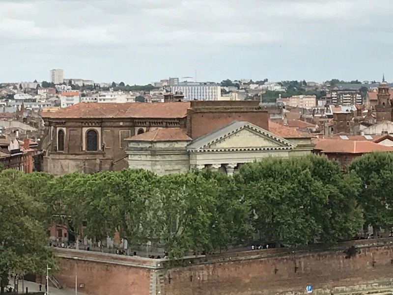

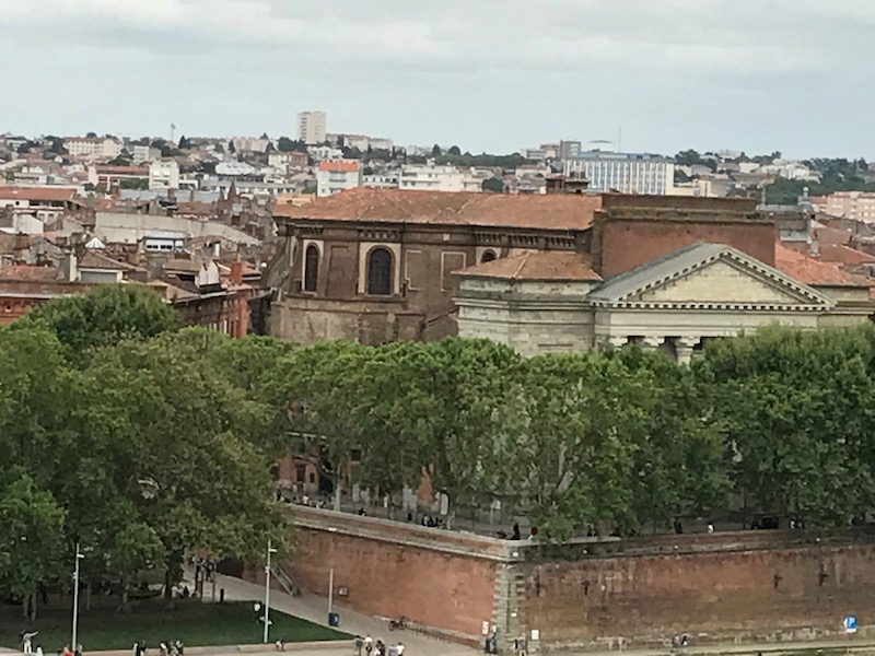

The Convent of the Jacobins, which is a huge brick church dating back to 1230. The architecture influenced the development of the Southern Gothic style. The characteristics of this Southern Gothic style include construction in brick and sections between buttresses which consist of a tall Gothic pointed arch with a small rose window at the top, and below that a lancet window.

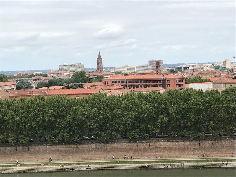
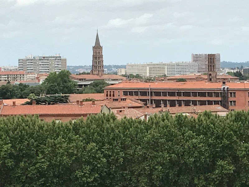
The large brick buildings just over the trees is the University, and then the pointed tower of Saint Sernin behind.


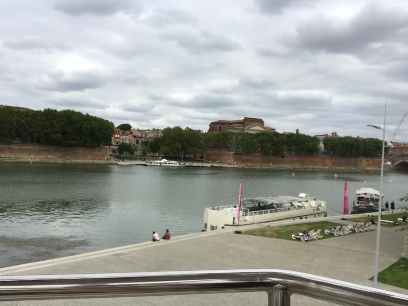
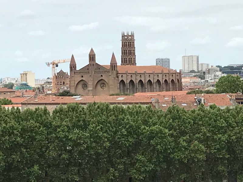
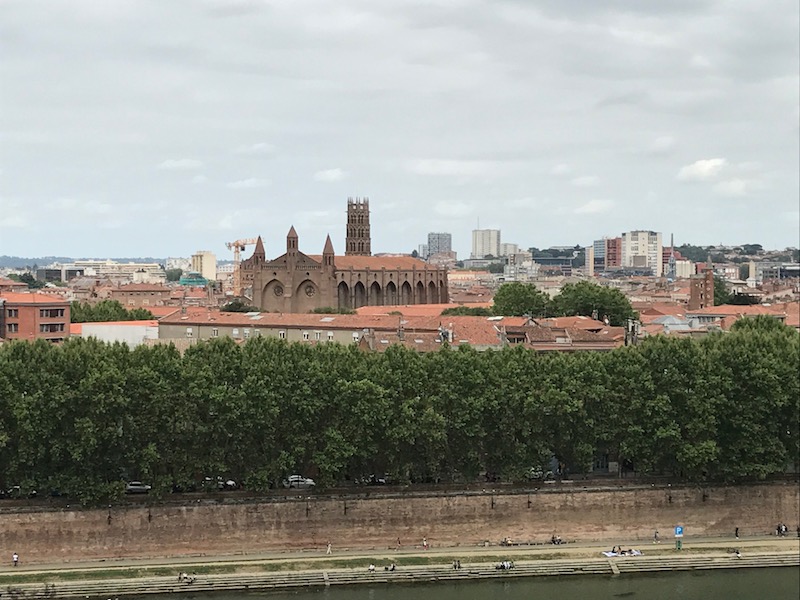
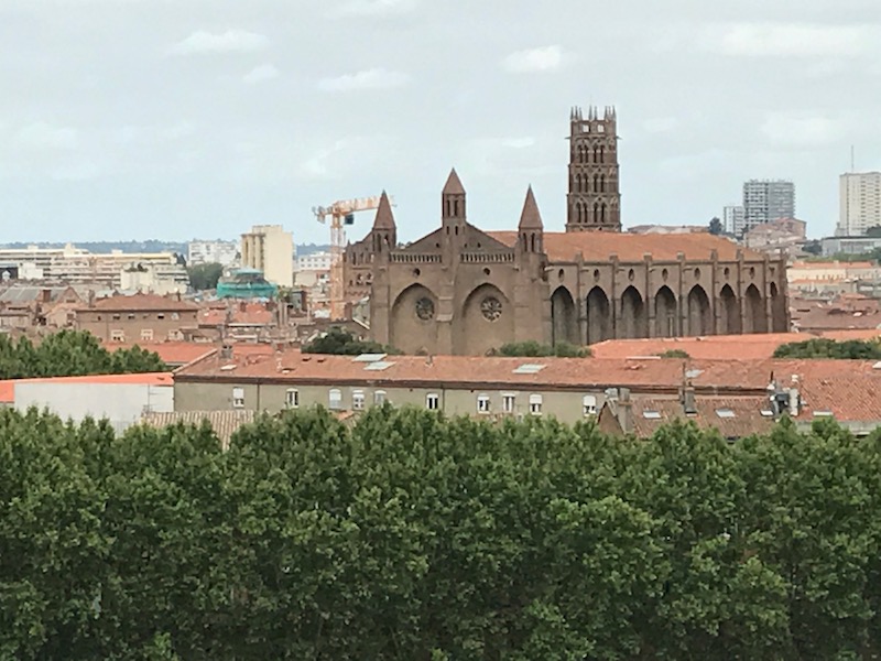
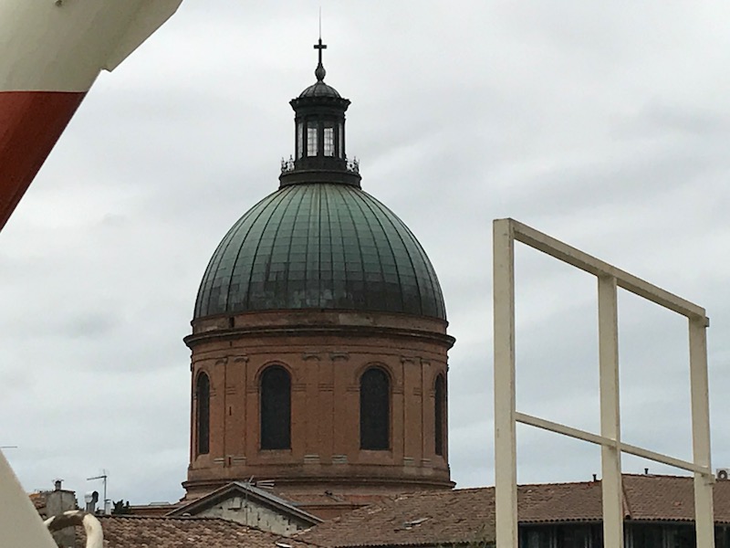
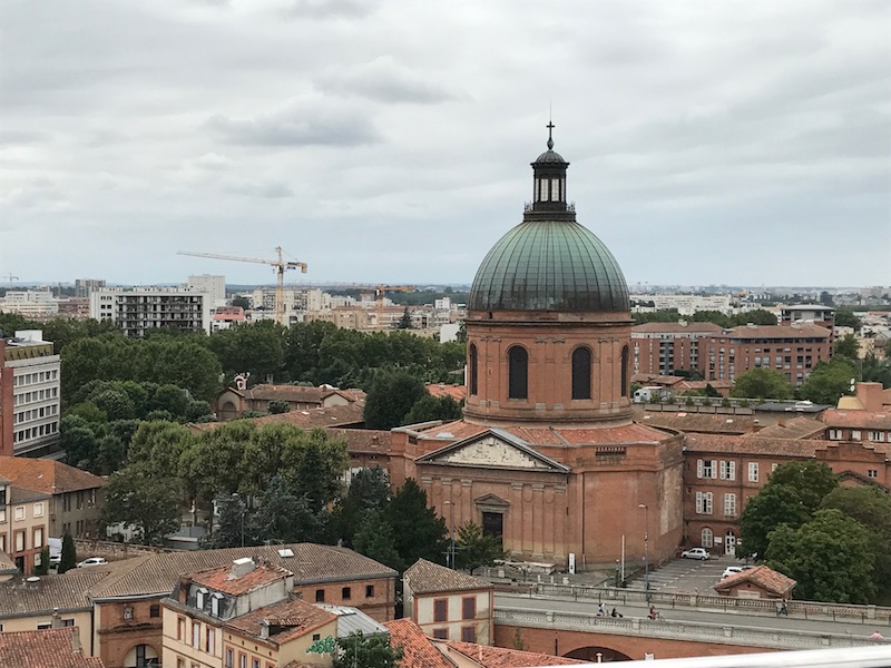
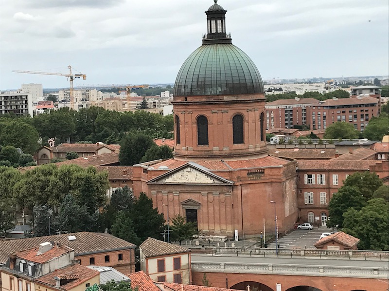
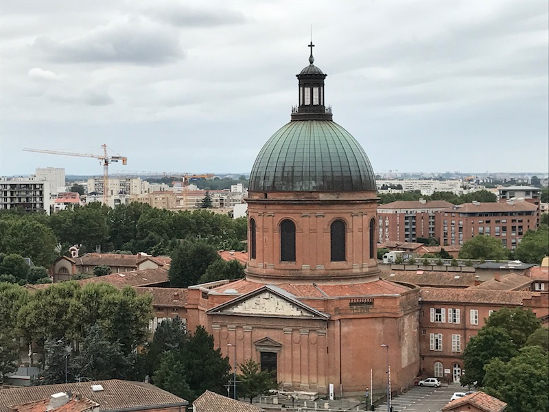
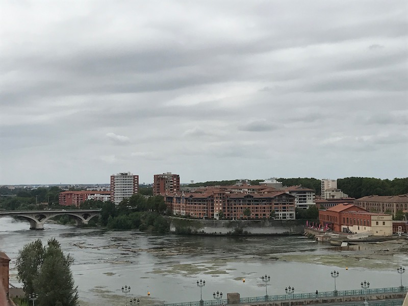
On the St. Cyprien side now, the cupola of Hôpital de La Grave (specifically, the Chapel of St. Joseph). The first stone of the chapel was laid in 1758, but only completed in 1845 due to various interruptions.


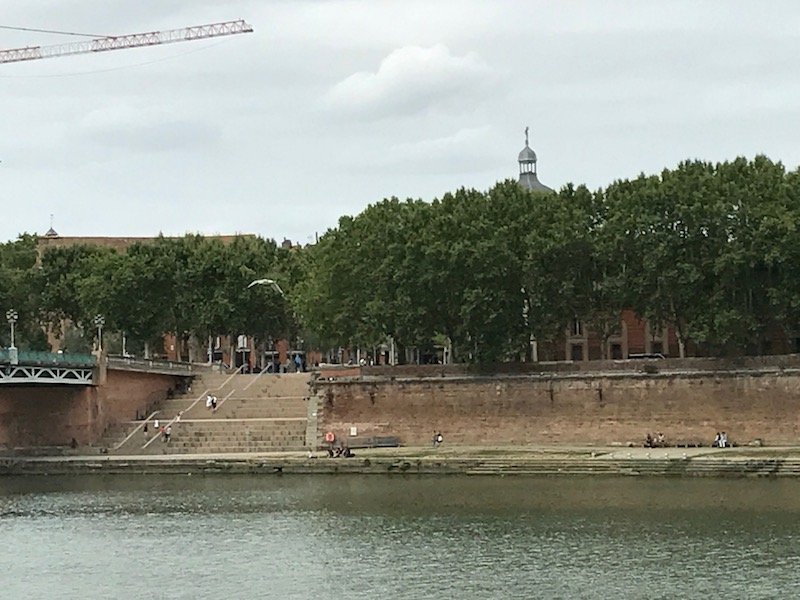
These pictures are Place Saint Pierre and the Saint Pierre bridge. The bridge was built in 1987. The stairs at Place Saint Pierre are actually very new .. only put there last year. The tower you can see behind is that of the Church of Saint-Pierre des Chartreux.

These are just pictures of the St. Cyprien quarter general. While in the past, it was where the "unwanted" people lived ... poor, pariahs, and anyone else basically excluded from society. This is one of the reasons that there are two huge hospitals there ... when people were seriously ill and dying, the last place that the rest of the Toulouse citizens wanted them was in the city. So they were "isolated" over on the other side of the river in St. Cyprien. Today, it is thought of as a very lively and cosmopolitan neighborhood, with lots of bars and restaurants. There are several markets and several museums.


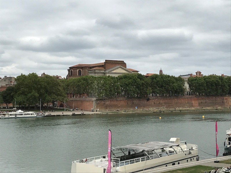
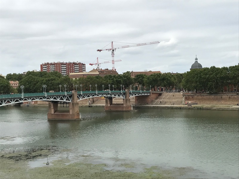
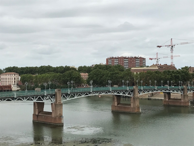
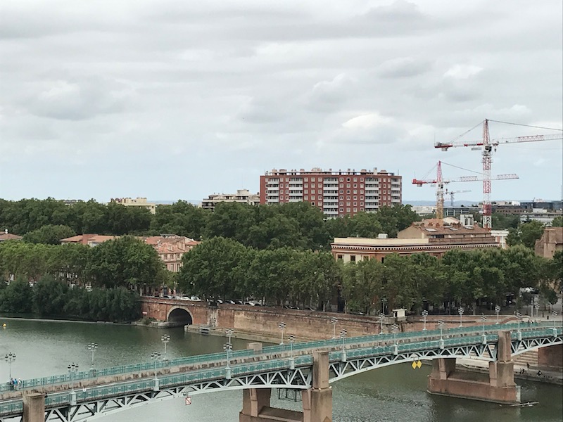
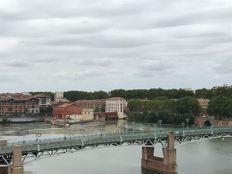
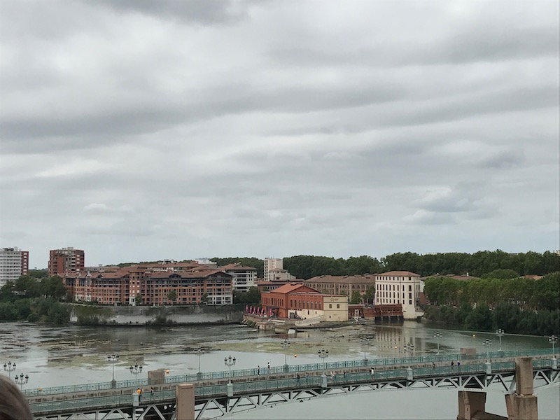
As you can see, much of the city revolves around the Garonne River, which goes through the middle of the city. These pictures look over the river towards the EDF Bazacle space, which is a hydroelectric power station (working today) as well as a nice museum.
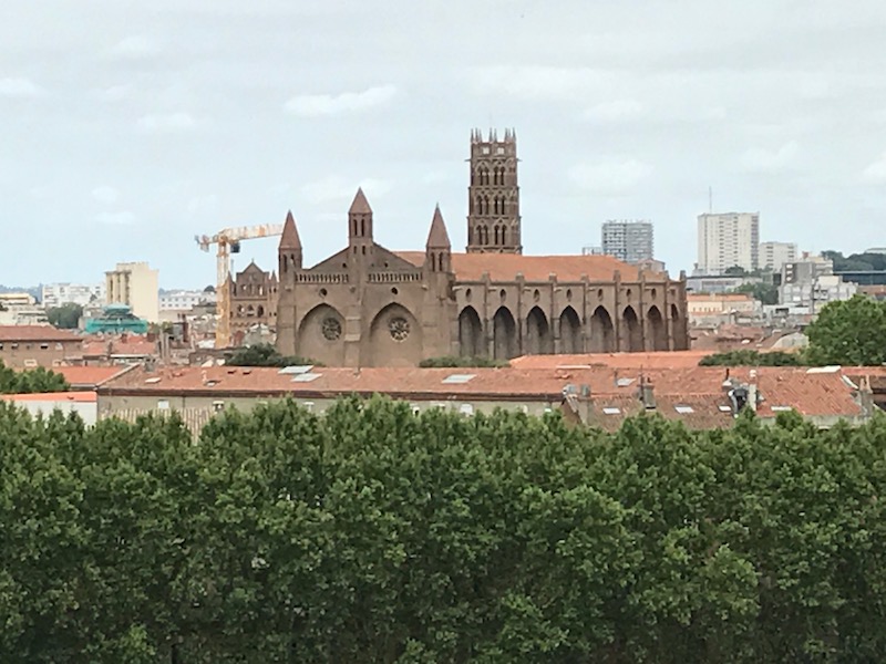
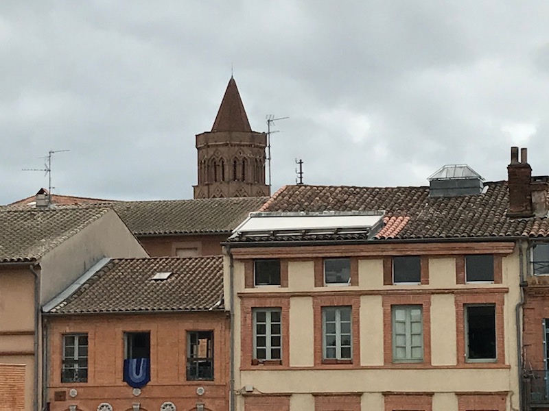
St-Nicolas Church is named for Saint Nicolas, the the patron saint patron saint of sailors and those who are afraid of sinking. The building dates back to 1300 and is in Southern Gothic style. The octagonal bell tower may look familiar .. it is in the same Toulouse style as Saint-Sernin and the Jacobin church.

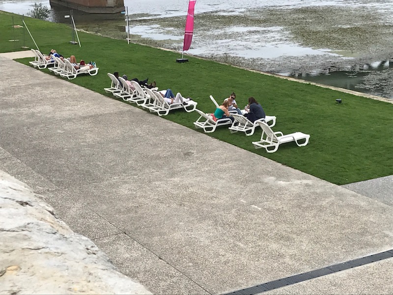
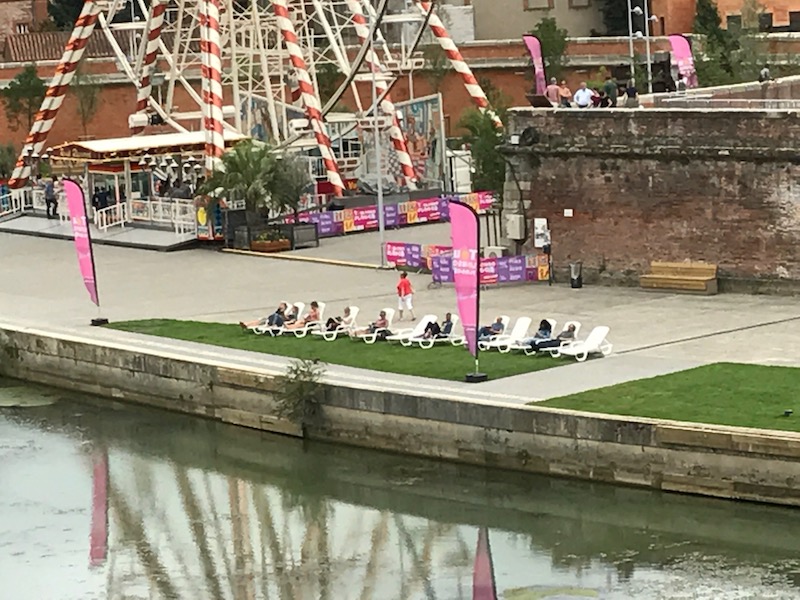
The plage at the Bazacle is purely for reading and relaxing, and they have lounge chairs, umbrellas, and loaner books available. You have to look closely, but you can see the Plage at the Bazacle in the distance (taken from the top of the Ferris wheel).
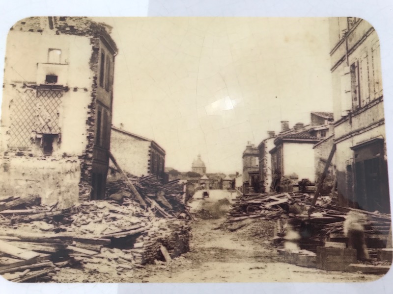
As we headed back, they had recently opened a walkway from this area over to Pont Saint Pierre, which takes us back over to our side of the Garonne River. Along the way, they had some interesting pictures and illustrations of the flood of 1875, which I think I've talked about a couple of times since it was a "big thing" here. You can see in these pictures/illustrations the type of damage. There is an interesting report that I found online in the National Library of Australia which talks about accounts received from Toulouse, and that the flood was much worse than expected. In St. Cyprien, which is where the Ferris wheel was, it was devastating as that was the "poorer" side of the city and therefore, less protected although more heavily populated. The high water started on Tuesday and by Wednesday, the river had overflowed and by the evening, the entire St. Cyprien quarter was cut off from the rest of Toulouse as the bridges had all been swept away and the water was 10 feet high in the streets.