Our Blog - South Africa Safari - Day 2
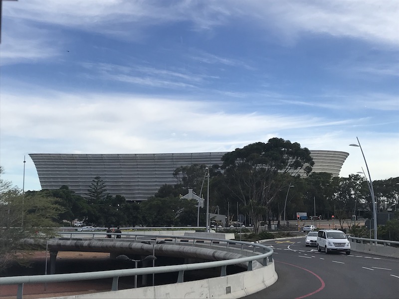
For Day 2, we headed south for a tour of the Cape Peninsula. We we headed out of town, we caught a glimpse of the Cape Town Stadium. It was finished in 2009 and had a seating capacity of 64,100 during the 2010 World Cup before being reduced to 55,000. It hosts various sporting events as well as concerts (U2, Lady Gaga, Bon Jovi, and Justin Bieber are just a few of the big names that have performed here).
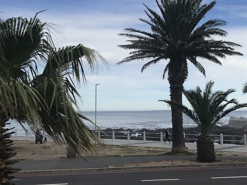
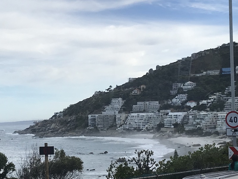
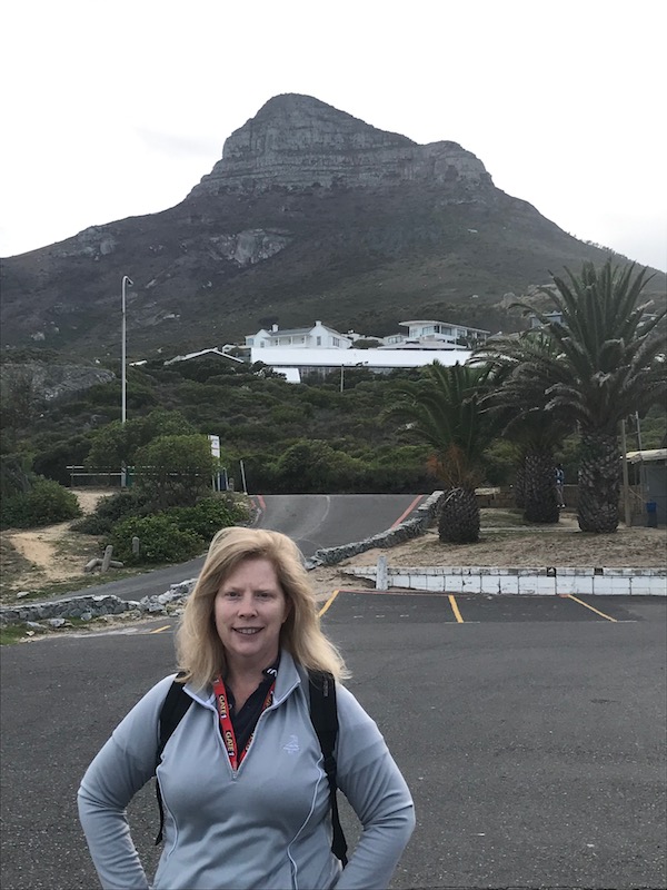
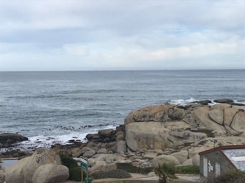
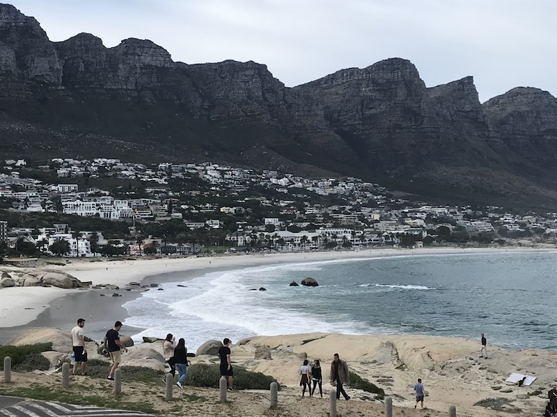
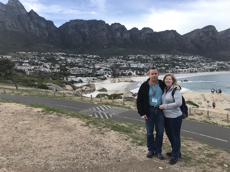
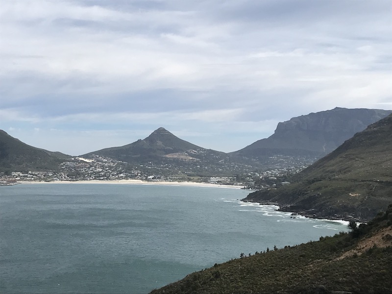
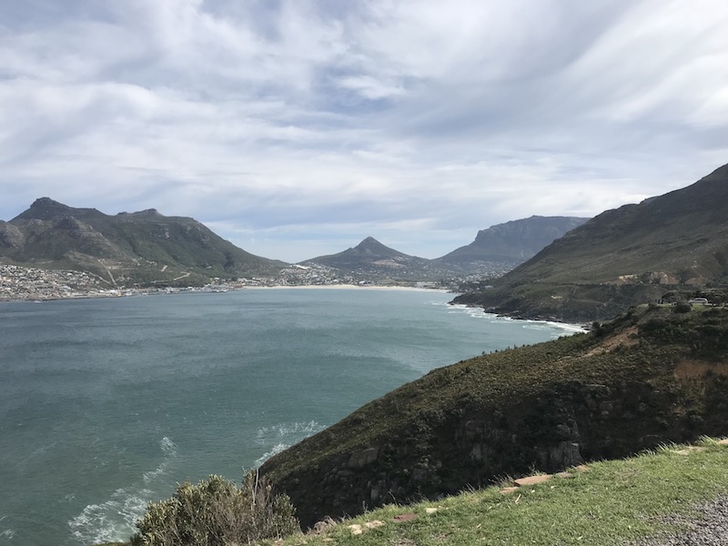
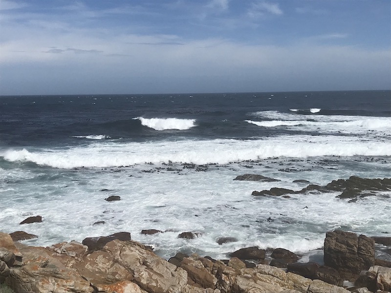
We continued around the coast, with some great views of beaches and the ocean. Sometimes it was a bit interesting how close the water and the mountains were, since I don't remember many places in the US where they are that close together.
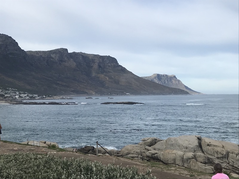
Here we have the series of mountains called "The 12 Apostles", although there are actually more than 12 peaks. They don't have anything to do with the Apostles from the Bible ... they are named Kloof, Fountain, Porcupine, Jubilee, Barrier, Valken, Kasteel, Postern, Wood, Spring, Slangolie, Corridor, Separation, Victoria, Grove, Llandudno Peak, Llandudno Corridor, and Hout Bay Corner. The name of the Twelve Apostles is said to have come from British governor Sir Rufane Donkin in 1820.
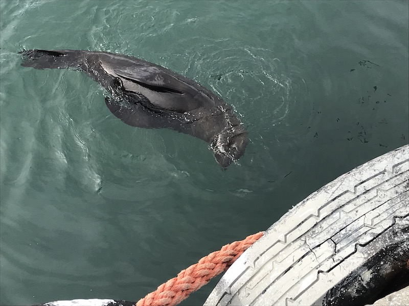
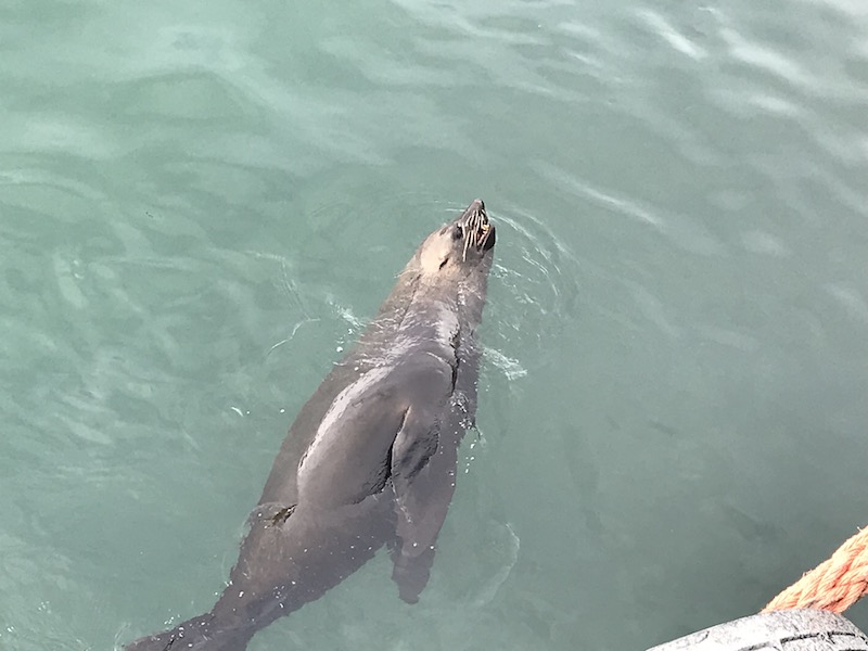
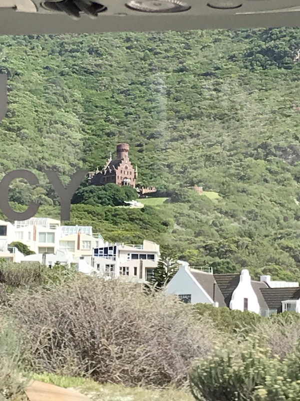
We then stopped by a little fishing village named Hout Bay. There were several stands selling "curios" to tourist buses that come by but the most interesting this for us was the family of Cape Seals that seemed to live there and play near the dock. In the last picture, if you see the brown "blob" in the middle, that is what is called the "Lichtenstein Castle" and it is modeled on its namesake, the Lichtenstein Castle in Germany. The replica took longer than the original castle to build and was completed in 1998. Initially built as a family home, so many people thought it was a tourist attraction and kept knocking at the door that it was eventually converted into a guest house. It was sold to a Russian investor and you can now rent it out for weddings, meetings, corporate functions and private events.
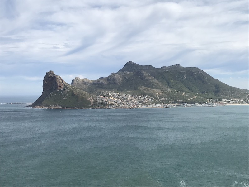
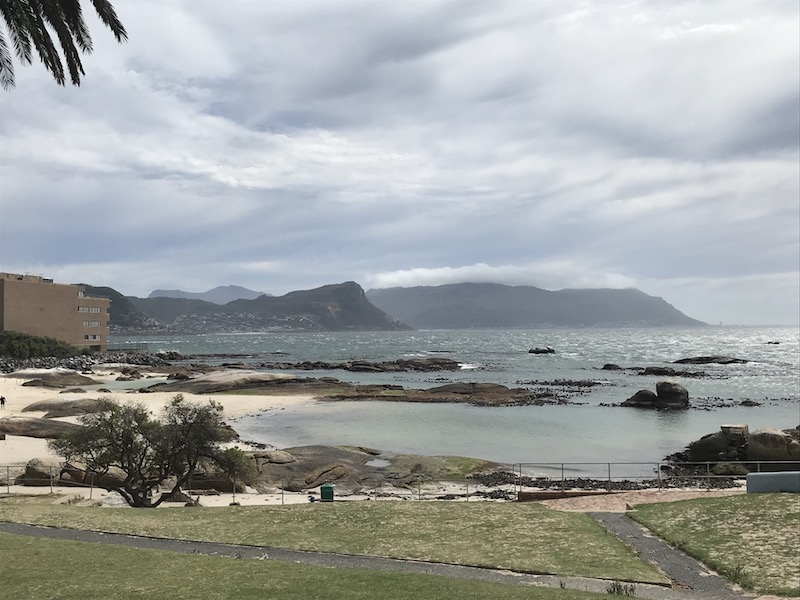
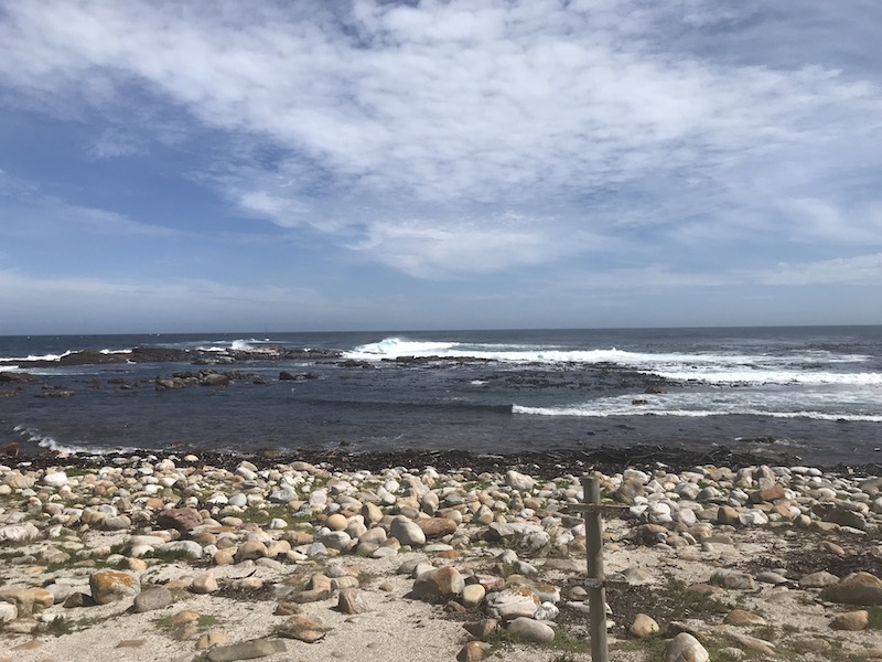
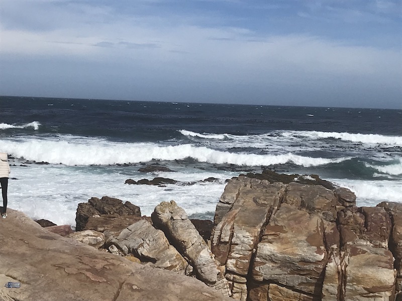
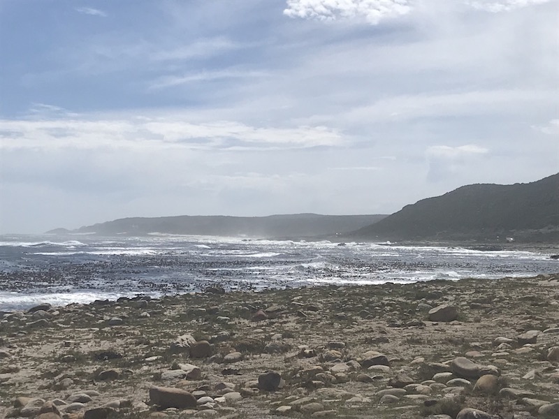
Next, we continued to drive South towards the Cape of Good Hope. False Bay is a bordered by mountains and large cliffs on two sides with a long stretch of sandy beach in the middle. The name "False Bay" was applied early on (at least three hundred years ago) by sailors who confused the bay with Table Bay to the north.
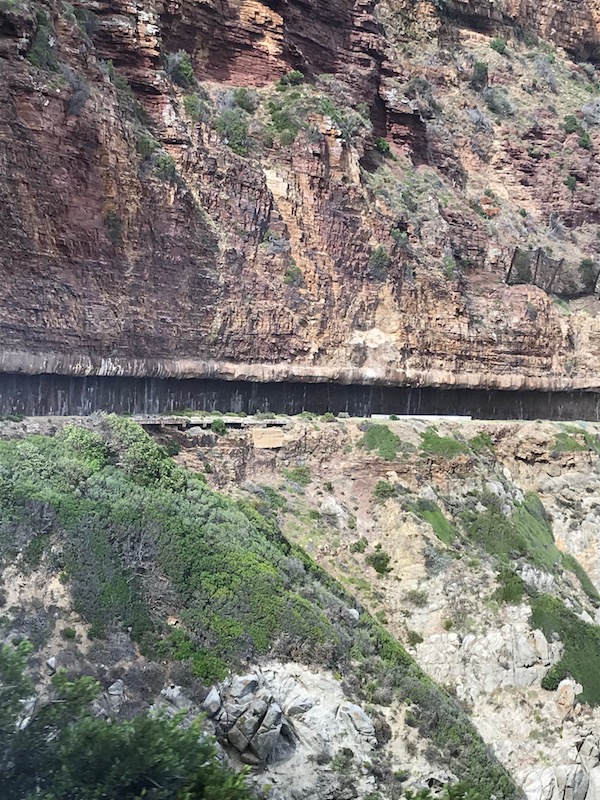
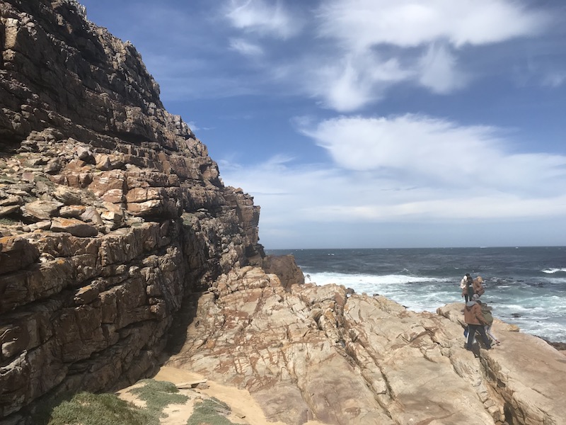
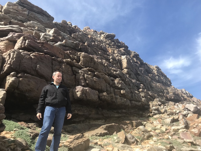
I was trying to get a decent picture to show the cliffs ... The second picture is interesting ... if you see the distinct line in the middle (horizontally) ... that is actually the road being cut into the mountain. You actually drive UNDER the rock that covers the road.

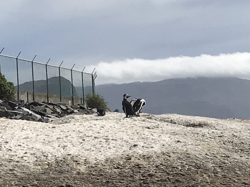
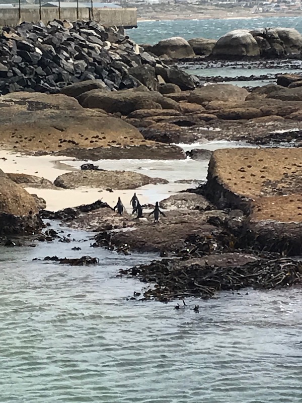
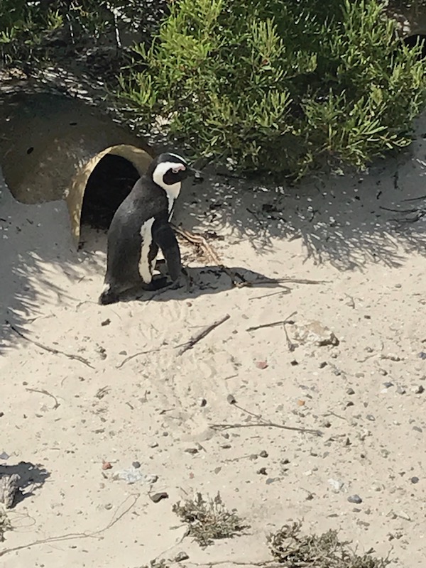
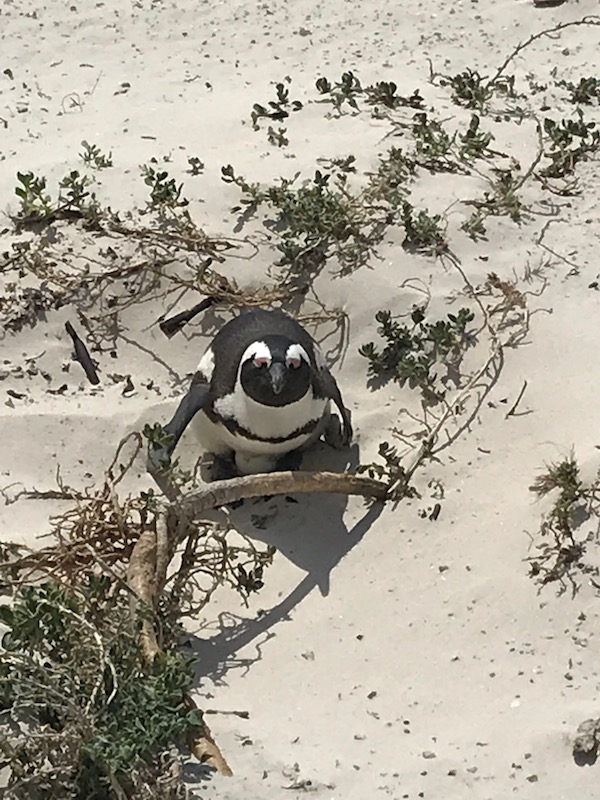
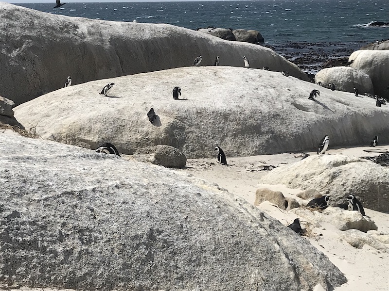
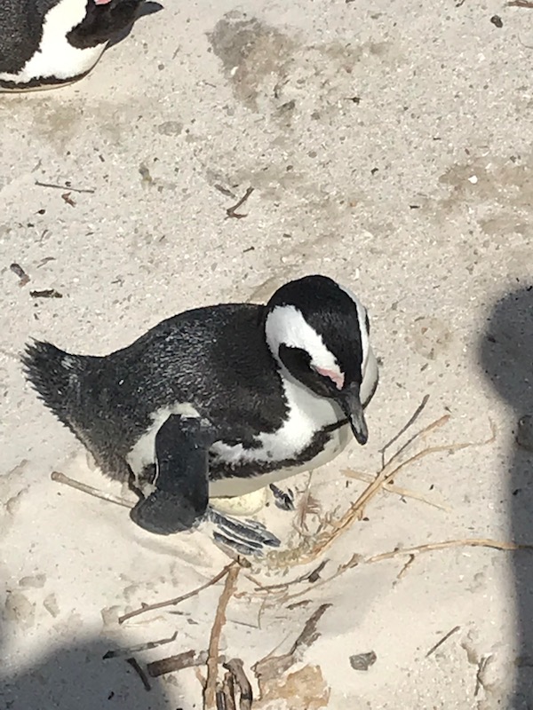
Boulders Beach is made up of inlets between granite boulders, which is where it got its name. A colony of African penguins settled there in 1982, and since they had decided that the area was "their home", the government just setup a wildlife refuge for them (they are endangered). You can walk through the penguin colony, which has grown from just a handful in 1982 to about 3,000 birds. The first area, there was a set that were walking around on the rocks, that were quite cute.
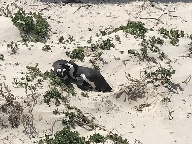
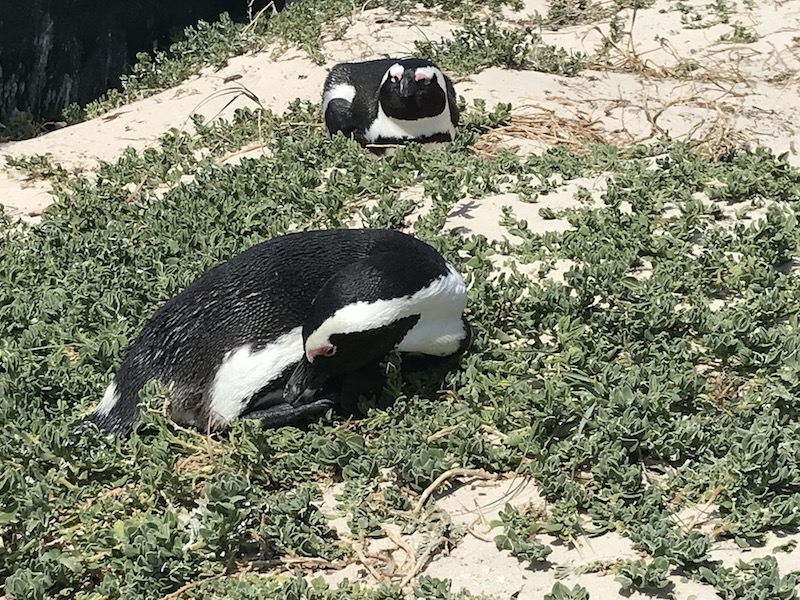
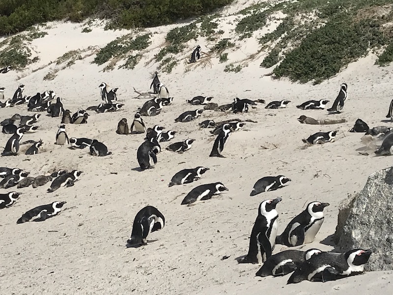
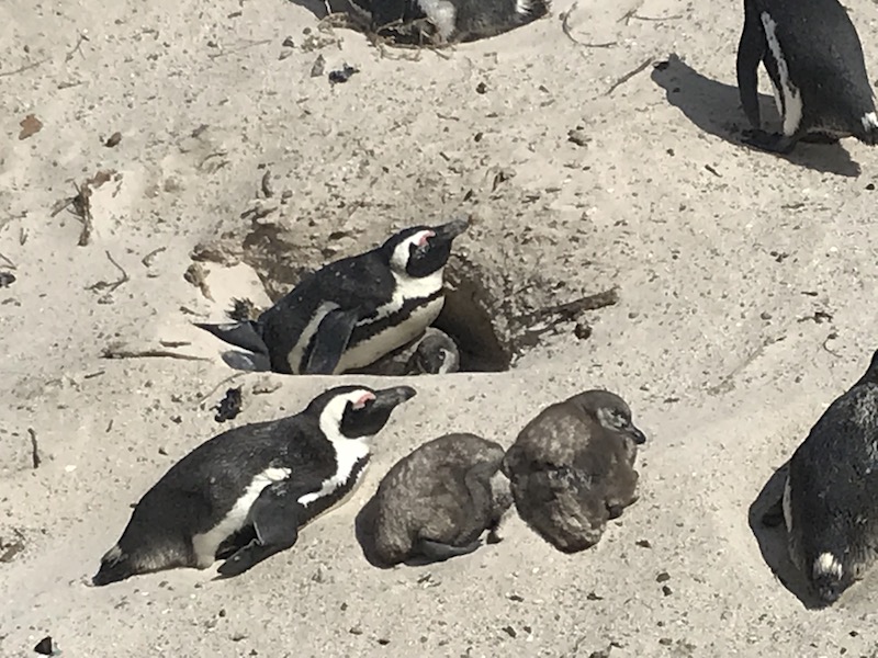
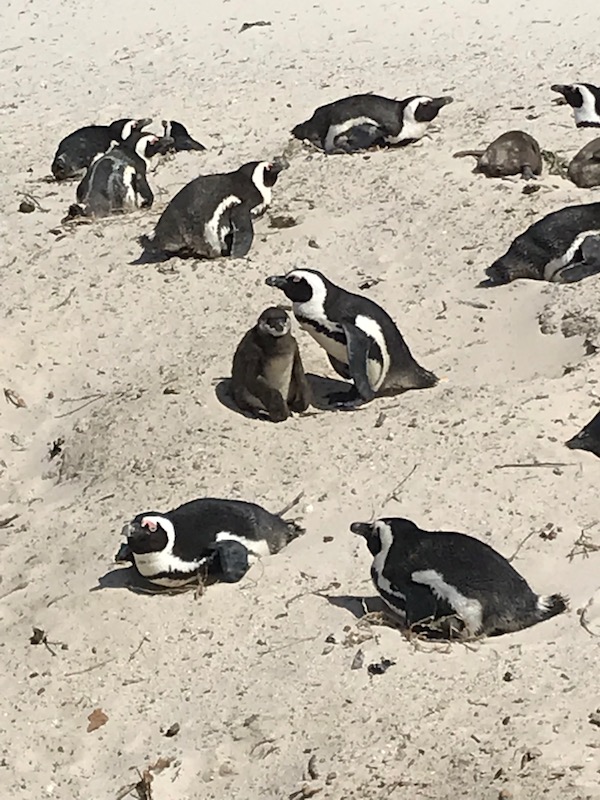
Then we headed to another section that had a boardwalk winding through the breeding area. You can see lots of birds here, some of them with eggs under, others with some young (maybe from the prior breeding season), and others are just sitting/laying where there may be an egg under them.
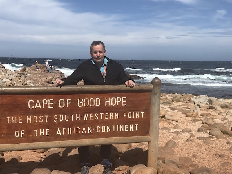
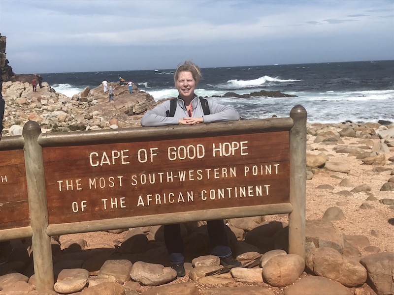
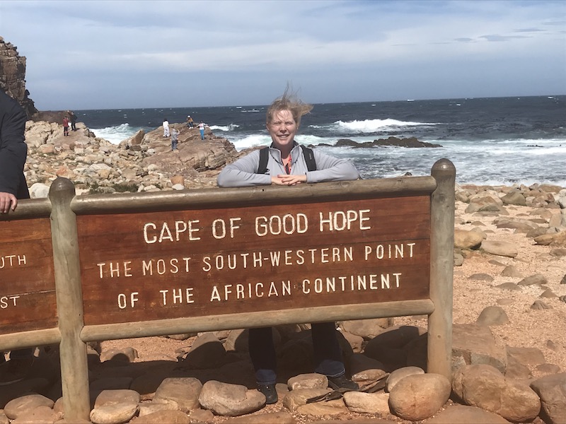
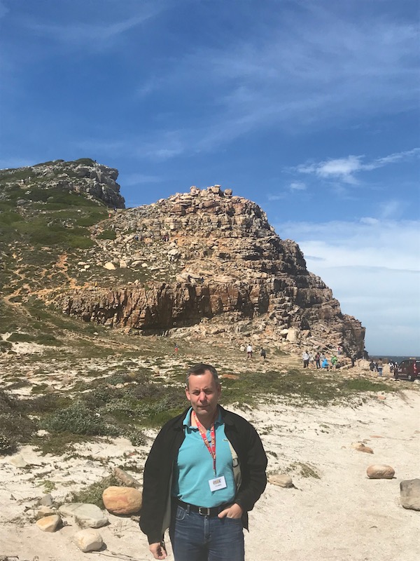
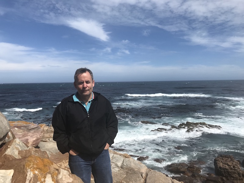
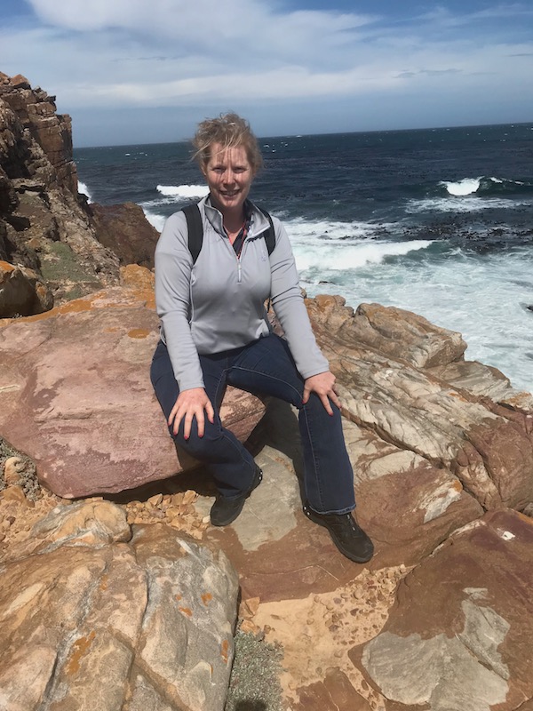
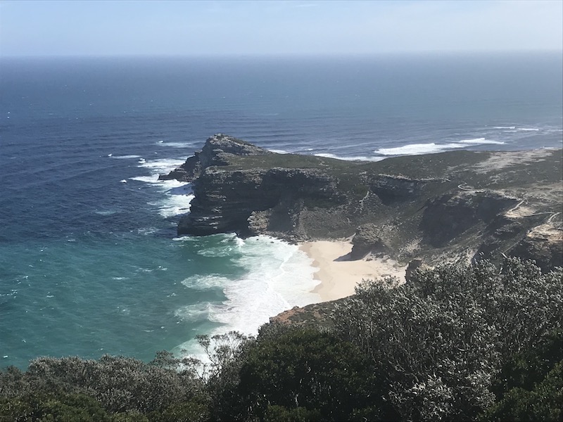
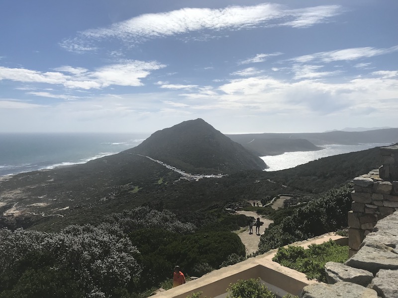
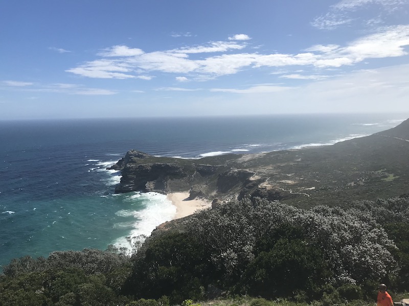
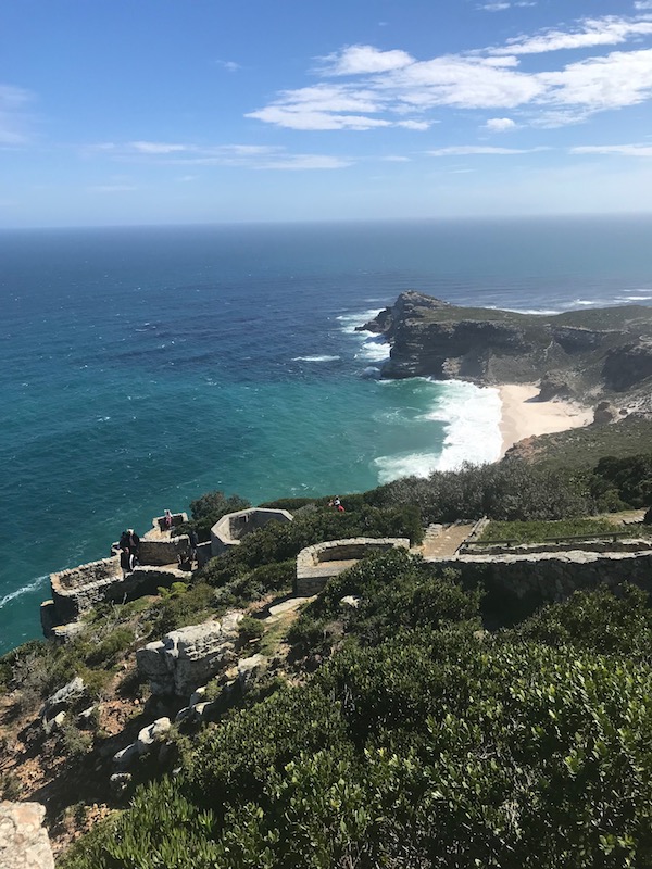
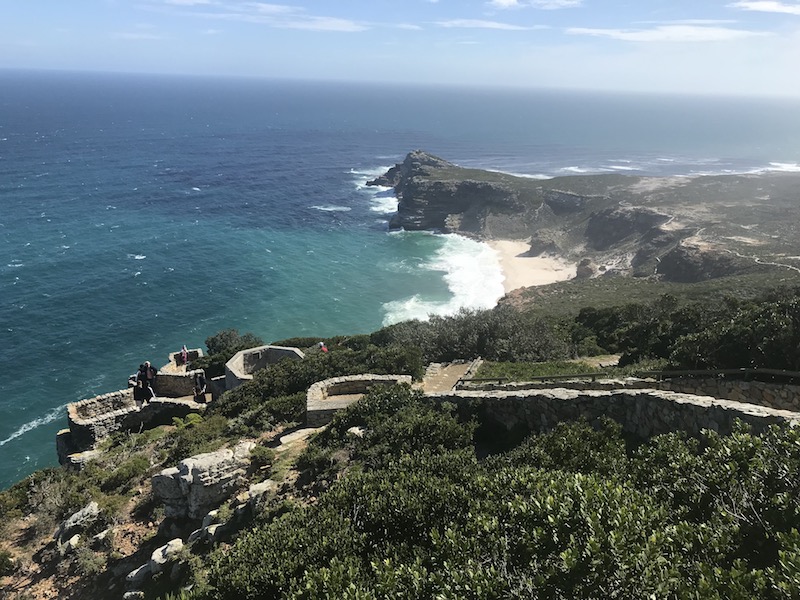
Then we arrived at the Cape of Good Hope. A common misconception is that the Cape of Good Hope is the southern tip of Africa, which was based on the mistaken belief that it was the dividing point between the Atlantic and Indian Oceans. However, the actual Southernmost point is about 90 miles East of the Cape of Good Hope. It seems to be now listed as the most South-Western point (or at least, it sounds/looks good in a picture!) It was sunny and windy that day, and it was hard to get a picture where we weren't squinting and hair blowing everywhere!
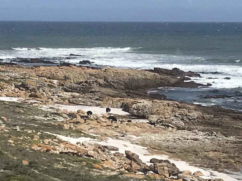
Lots of pictures from various points ... the first picture shows a group of 3 ostriches out on the rocks.
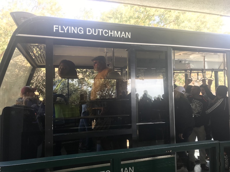
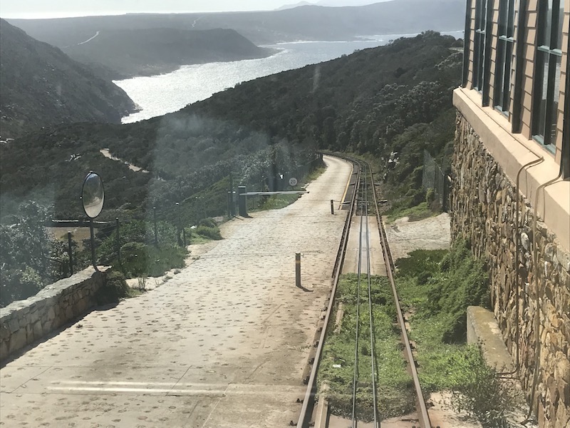
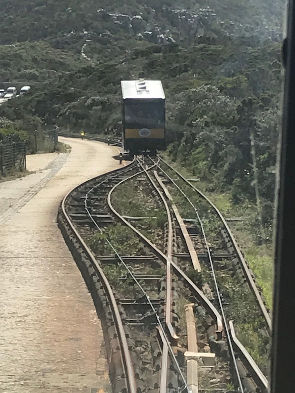
We headed to the top by way of the "Flying Dutchman" funicular. It has a single track with a passing loop in the middle. The track is almost 2,000 feet long and goes up 285 feet. Originally a bus service, it became a funicular in 1966.
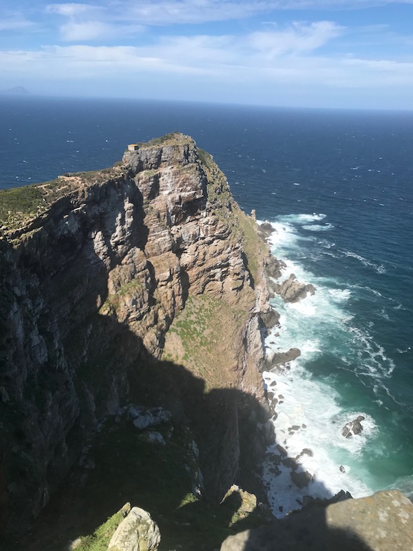
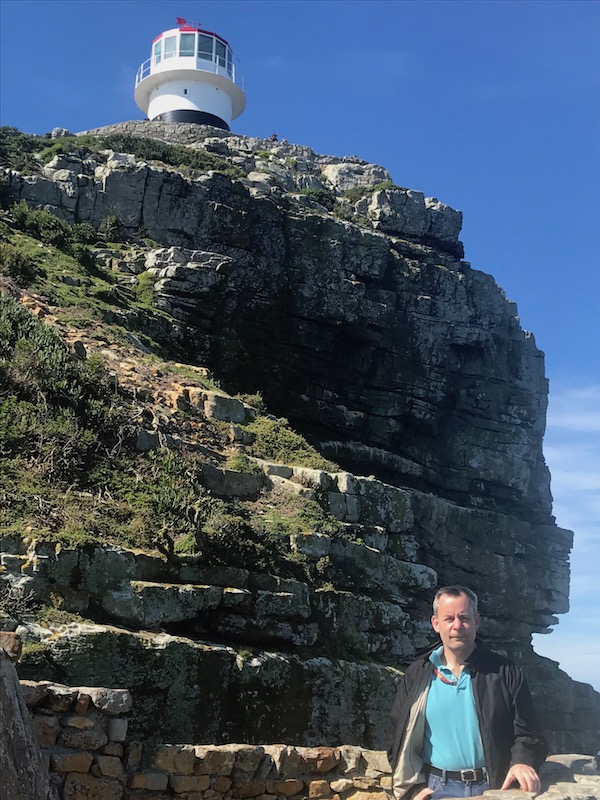
We took lots of pictures from the top, since it was a great day and there were some amazing views. There are two lighthouses at Cape Point, the one I show here is the old lighthouse, which was built in the 1850s. It is actually too high and is often covered by clouds, leading to ships wrecking on the rocks. In fact, it was the wreck of the Lusitania, on Bellows Rock below the lighthouse in 1911, which prompted the construction of a new, more effective structure.
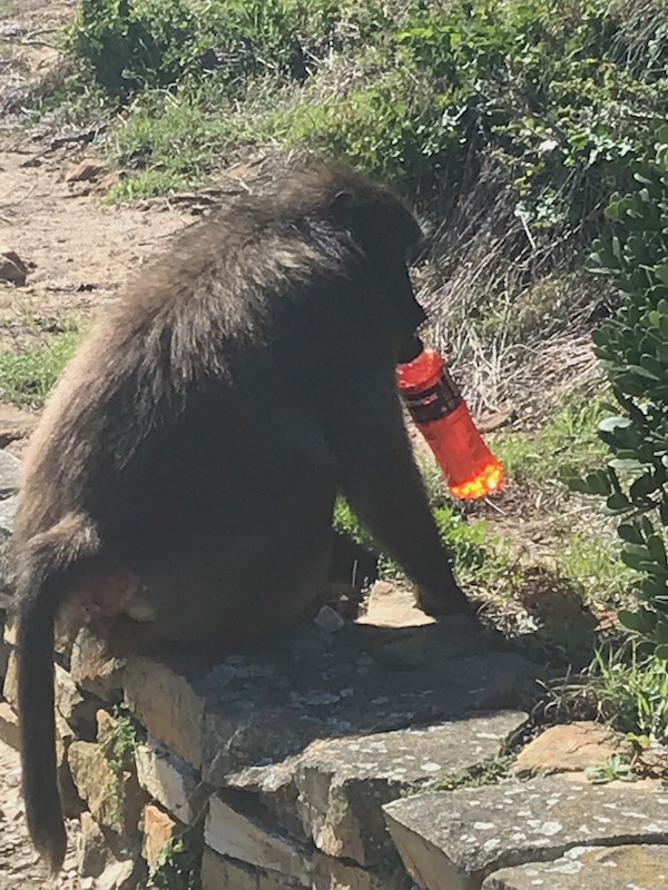
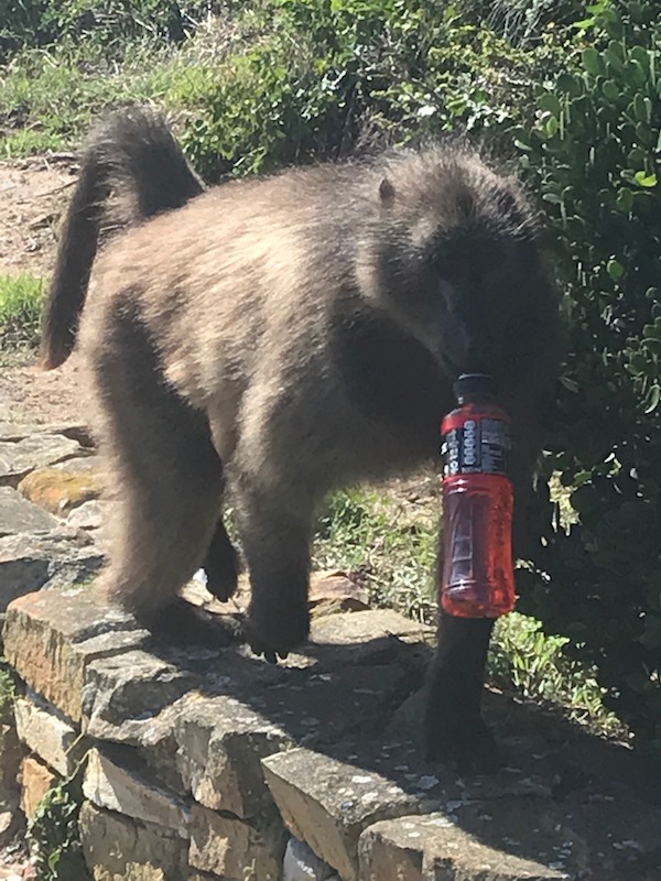
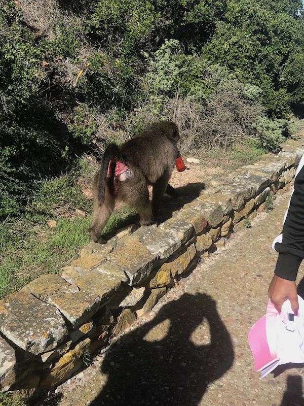
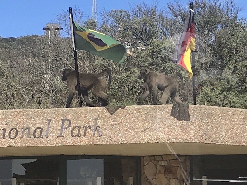
Our tour guide kept reminding us not to feed the wild animals because if you do, they become "bold" and start stealing things. Obviously, this baboon has already become bold, as it has stolen someone's Powerade! A set of baboons also ended up walking up along the top of the funicular building.
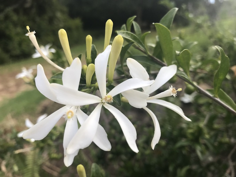
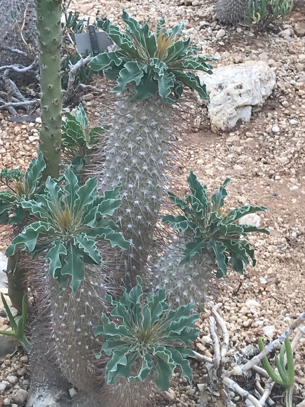
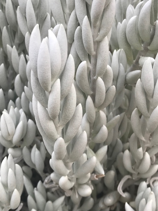
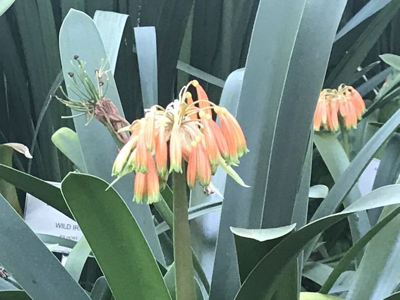
The Kirstenbosch National Botanical Gardens dates back (somewhat) to 1660 when a hedge of Wild Almond and brambles was planted to afford some protection to the perimeter of the Dutch colony. The Kirsten part of the name is believed to be the surname of the manager of the land, J.F. Kirsten, in the 18th century. The bosch part of the name is a Dutch word for 'forest' or 'bush'. The area became a botanical garden when a botanist from Cambridge visited the area looking for a site for a botanical garden in 1911.
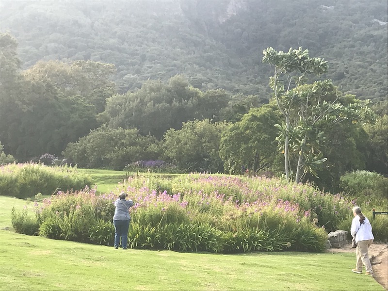
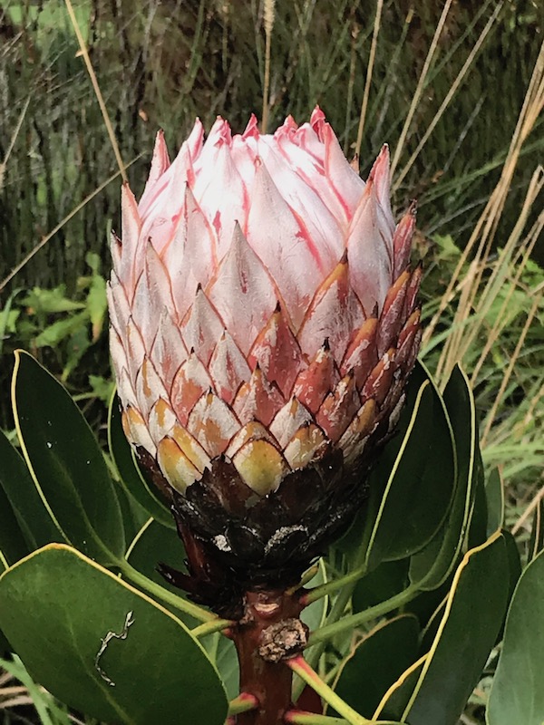
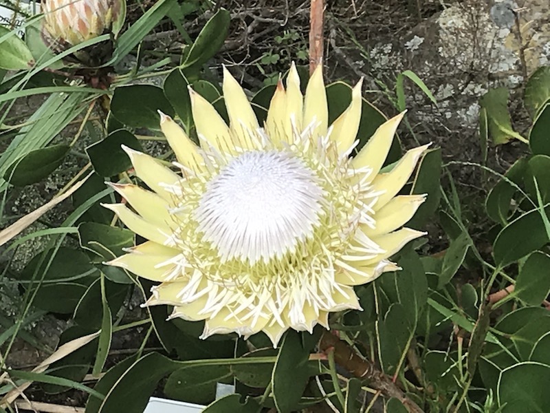
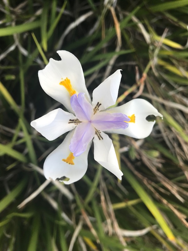
A few pictures of the various plants and flowers. Unfortunately, we were visiting at the end of the summer and some of the flowers had already come and gone. Probably the most famous is South Africa's National Flower, the King Protea, which is seen in the first 2 pictures.
You can go back to the main Safari page or continue on to Day 3.