Our Blog - Normandy 2023 - Gold Beach / Arromanches-les-Bains, France
This mornings walk took us to Gold Beach, one of the 5 sectors within the 50-mile stretch of the Normandy coast for Operation Overlord (the D-day landings). Most American's know of Omaha and Utah because those are the main sectors that had American forces landing. The Canadian Infantry took Juno beach while the British Army took Gold Beach and Sword Beach. Gold Beach is the central section, just east of the town of Arromanches-les-Bains. The primary objective of the division at Gold Beach was to take Bayeux, which was captured the following day.
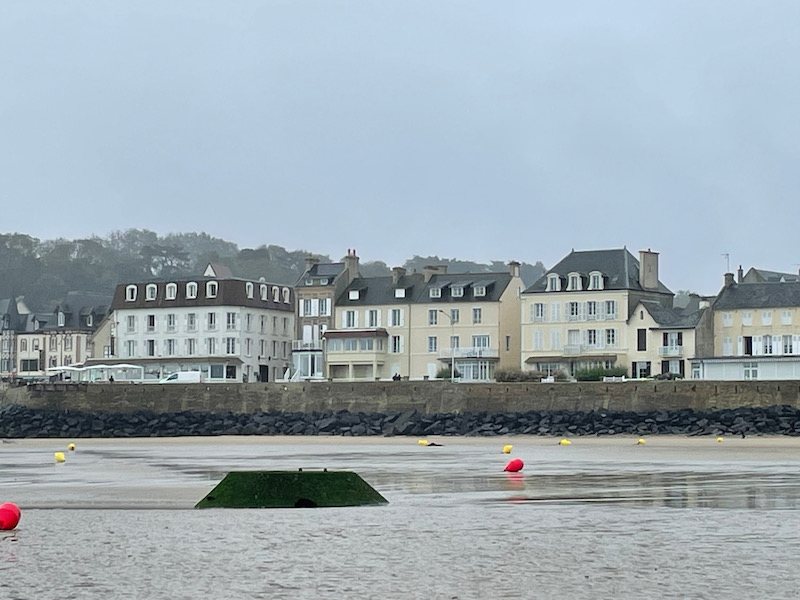
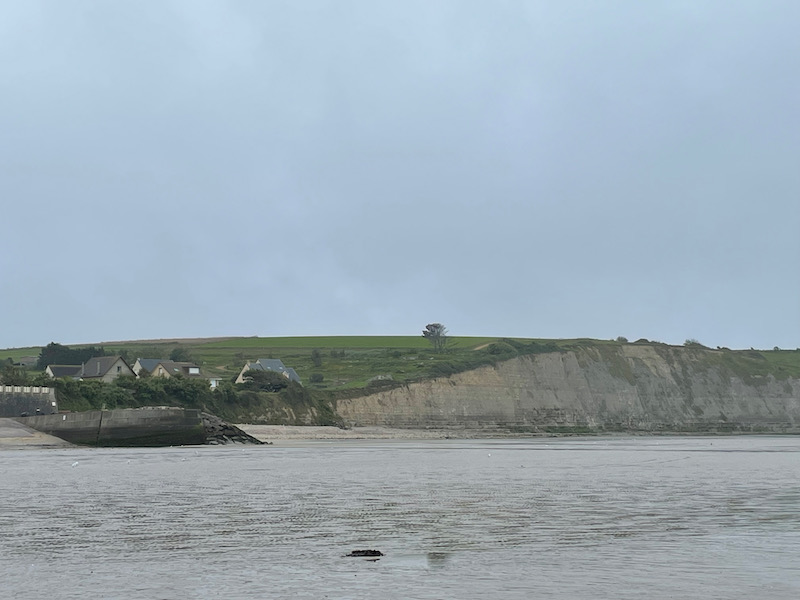
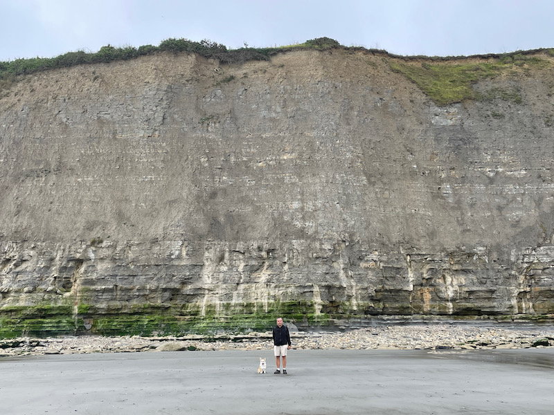
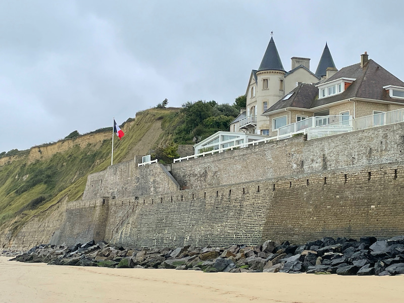
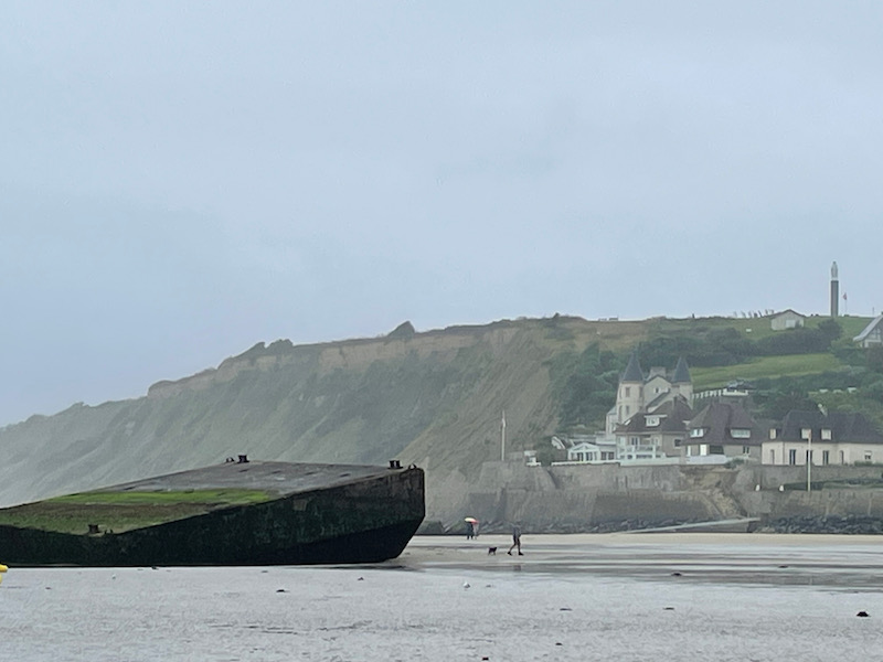
The town of Arromanches-les-Bains is quite nice, although we really only saw it from the beach. Historically, it was a seaside beach resort/spa town until WWII made it more well-known for the Mulberry harbors (more on them later). You can also see how there are huge cliffs on either side of the town. A picture with Tom and Lucy to try to give some perspective.
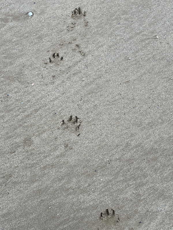
Puppy paws in the sand, and Lucy having a great time with her ball.
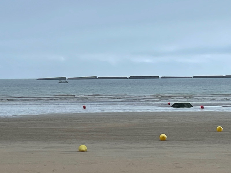
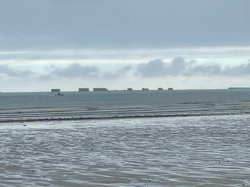
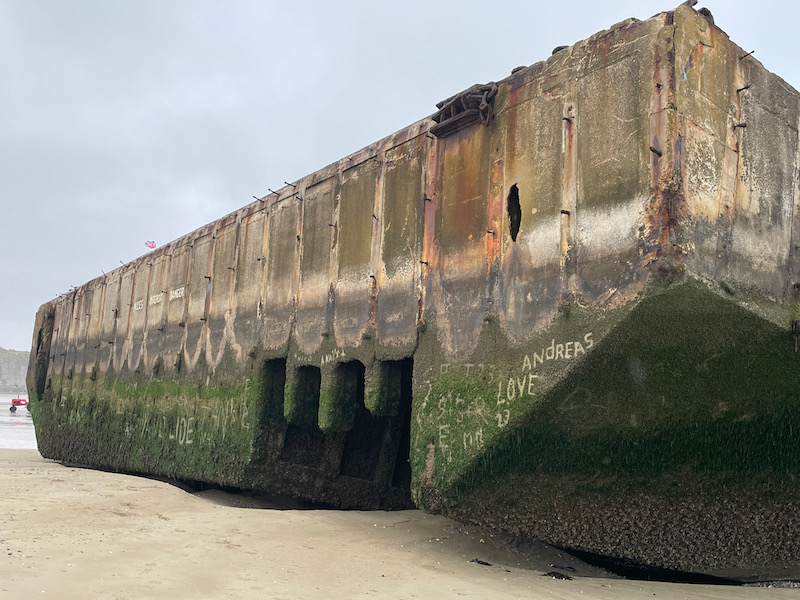
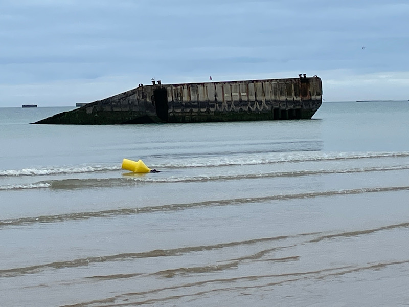
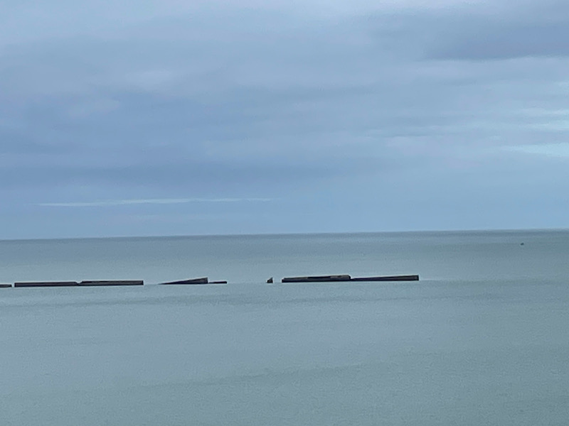
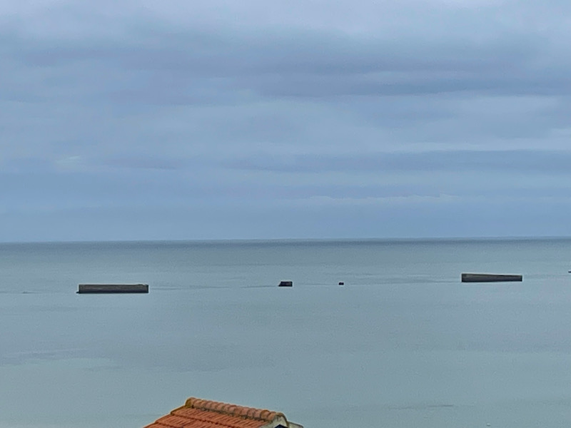
What were the Mulberry harbors? They were 2 artificial harbors created offshore at Arromanches-les-Bains to solve the problem of needing deep water jetties/harbors to offload equipment and supplies until major French ports could be captured and repaired after the inevitable sabotage by German defenders. There was supposed to be one at Omaha Beach and one here. However, the one at Omaha Beach was damaged by a violent storm before it could be secured to the sea floor and it was abandoned. All of the parts were built in England and pulled across the English Channel starting the day after the invasion. In total, there was around 600,000 tons of concrete used between 33 jetties, and had 10 miles of floating roadways to land men and vehicles on the beach. There are various "pieces" of the harbor that can be seen on the beach and just offshore.
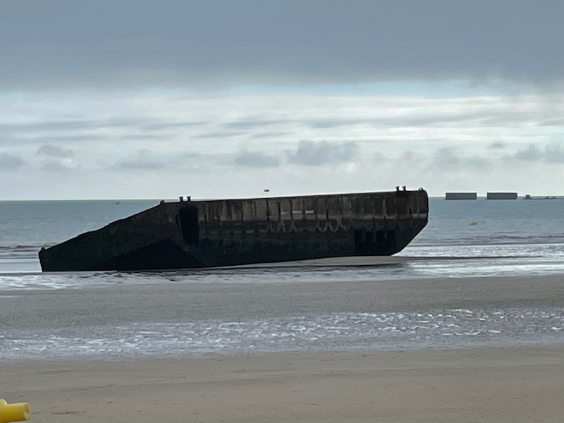
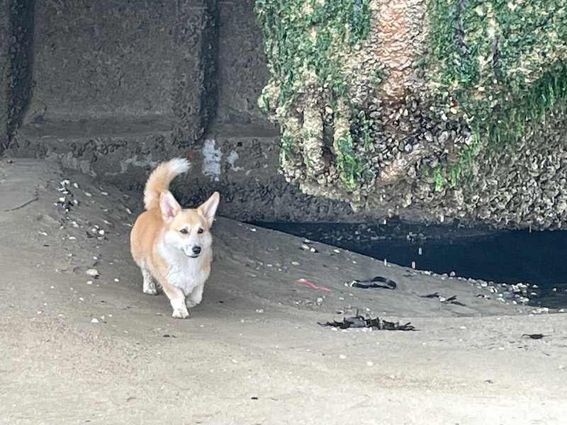
Close-up of one of the pieces onshore and Lucy was checking it out very closely.
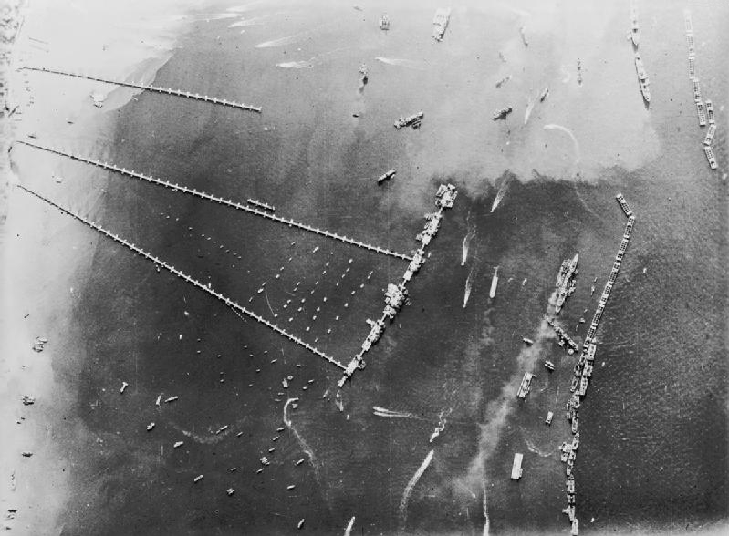
Here is a picture from Wikipedia that shows the larger pieces out in the water and then the roadways that are going back to the beach.
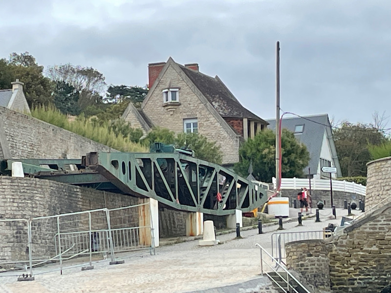
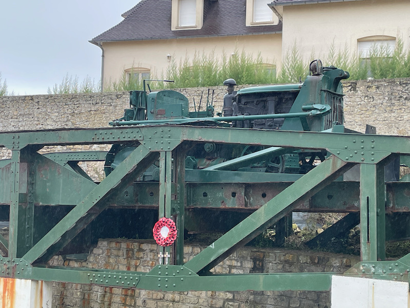
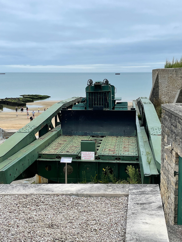
And here is a piece of one of the roadways (and a closeup showing a vehicle on it).
We went back to the same beach a couple days later and, as you can see from this first picture, the beach is much different depending on the tide. This block, which is now inaccessible due to being surrounded by water, was the one that Lucy is seen checking out a few pictures ago.
Not a great video .. we are always late with getting the camera out! But we met up with a 9-month old cocker spaniel puppy named Oscar and the two of them played for a few minutes together.
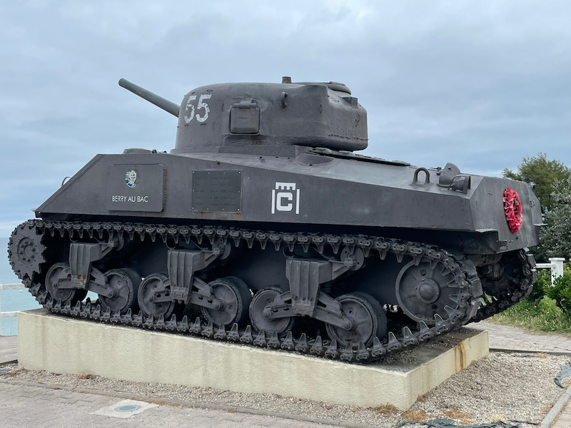
We walked up to the top of the cliff where a 360° cinema is located and came across the M4A2 Sherman tank "Berry-au-Bac", which belonged to the 2nd Armored Division of General Leclerc.
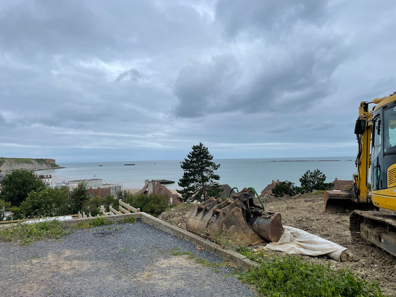
Nothing to do with WWII or D-day, but look at the VIEW that the house being built on this lot will have!!
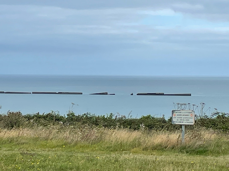
A bit more on the Mulberry harbor here ... a few different views of some of the remains, maybe a bit better due to better weather and from being up on the top of the cliff.
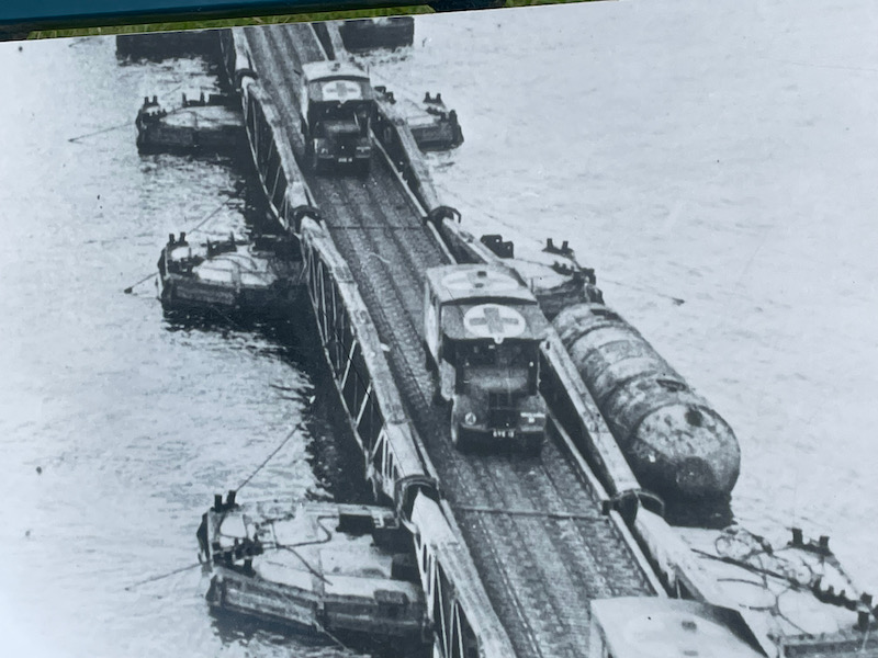
They had this picture on a plaque talking about the harbor and I think it gives a better picture of how these worked. The large blocks that you still see way out in the water were where the large ships parked and offloaded the equipment. The metal structure "roadway" section that you saw (the big green thing) would have been part of the floating road, shown here, that allowed the vehicles to literally drive over the rest of the water to the beach.
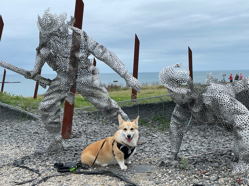
Next to the cinema is a nice grassy area that has quite a few things, including an interesting garden with statues. It was created by a landscape designer and is made up of metal sculptures representing young soldiers walking on the beach. The soldiers are made of metal washers welded to each other, which supposedly represents the way the bodies of the soldiers would have been riddled with bullets.