Our Blog - Hawaii 2015 - Hilo
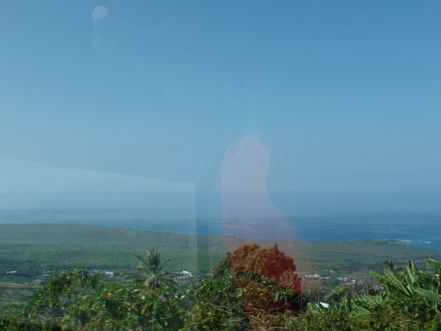
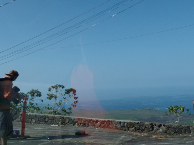
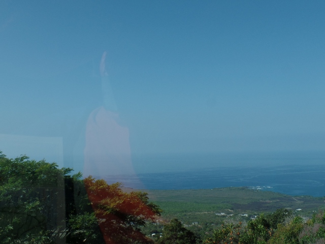
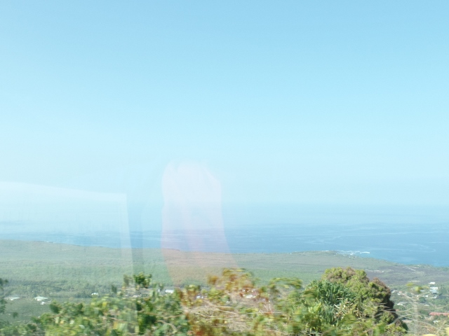
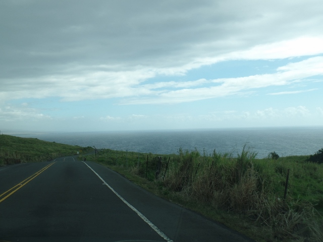
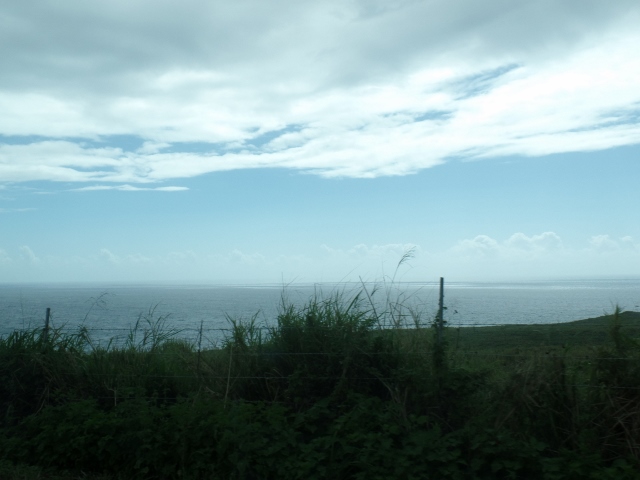
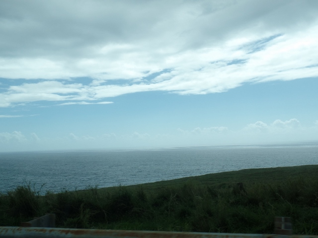
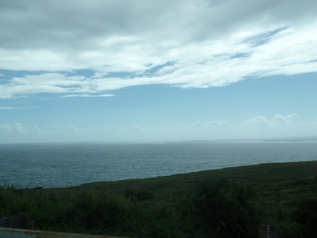
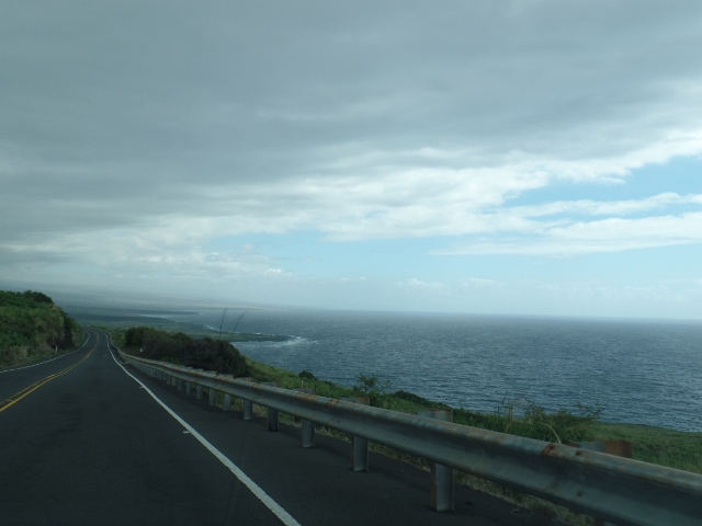
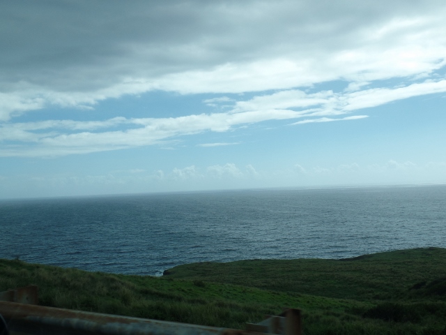
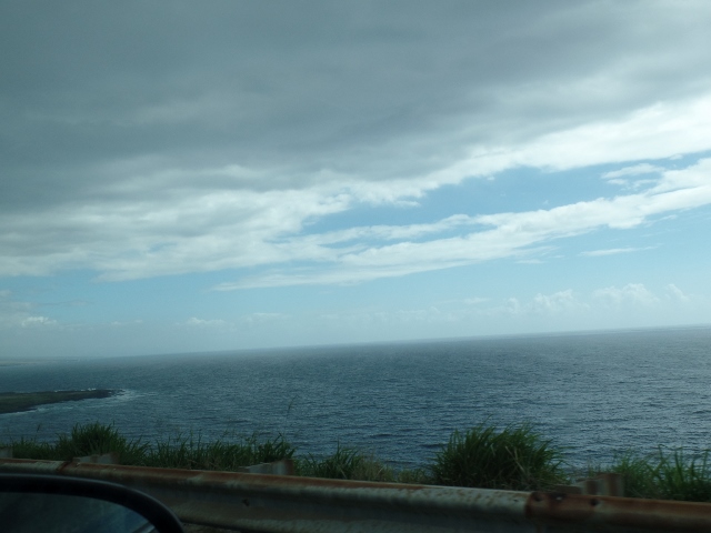
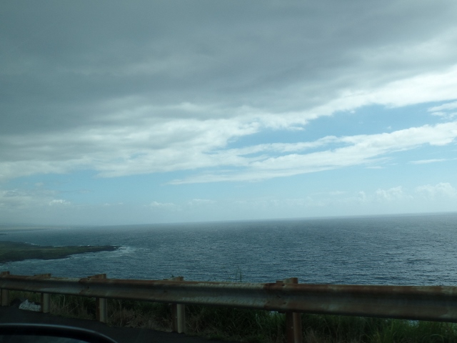
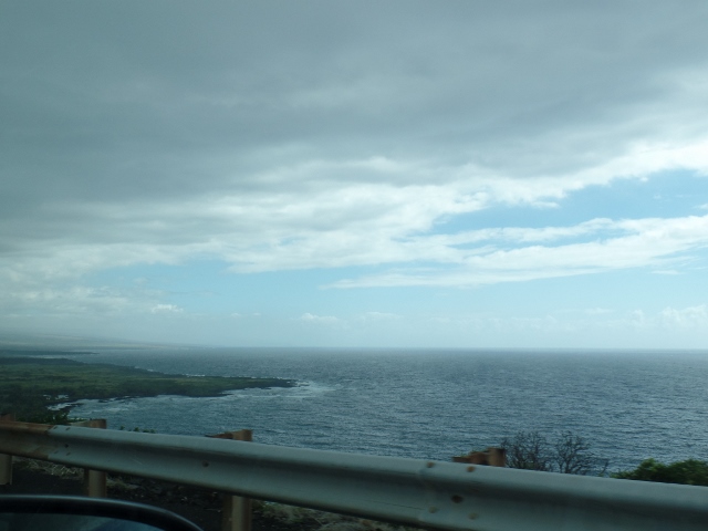
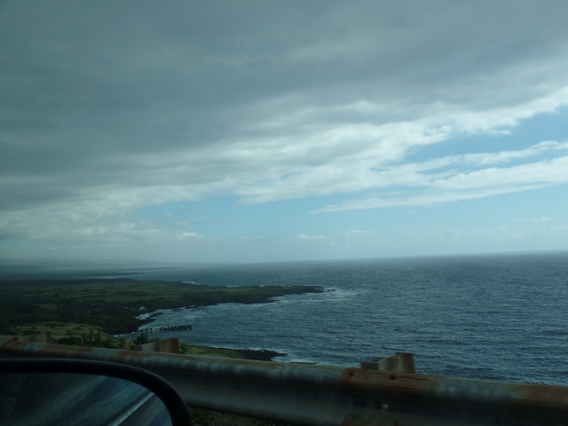
We left the beach and headed south, along the coastline and then across the southern side, heading for Hilo. From the highway, you can see the water down below.
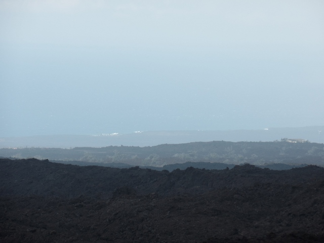
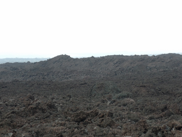
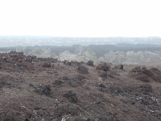
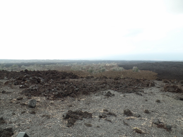
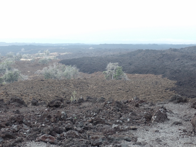
And, the lunar landscape of the lava fields. We stopped at a "scenic outlook" along the way at a point where 3 lava flows were visible from the southwest rift of the Mauna Loa volcano. There was a flow from 1907 and then a lighter-colored lava flow that is believed to be from 750 to 1500 years old. There was another darker-colored flow east of these two which was from an 1887 eruption. All of these flows were the Aa type (rough lava). There are Ohi'a lehua trees that are now growing in the 1907 flow area.
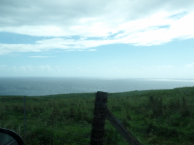
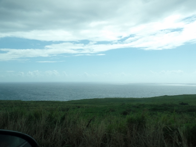
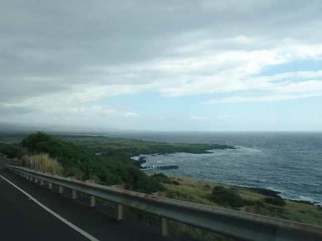
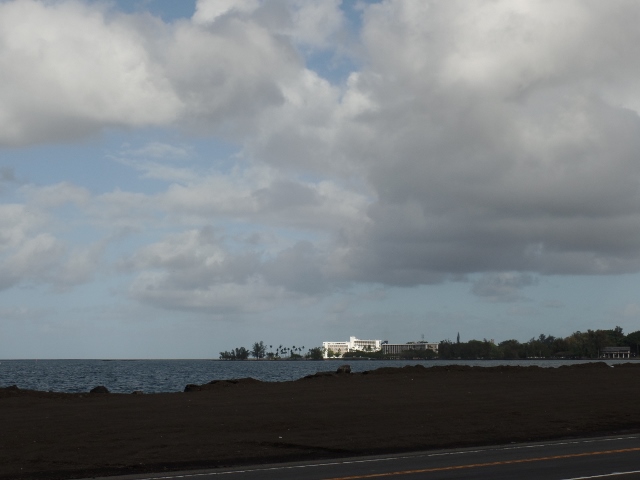
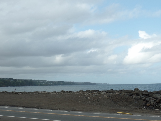
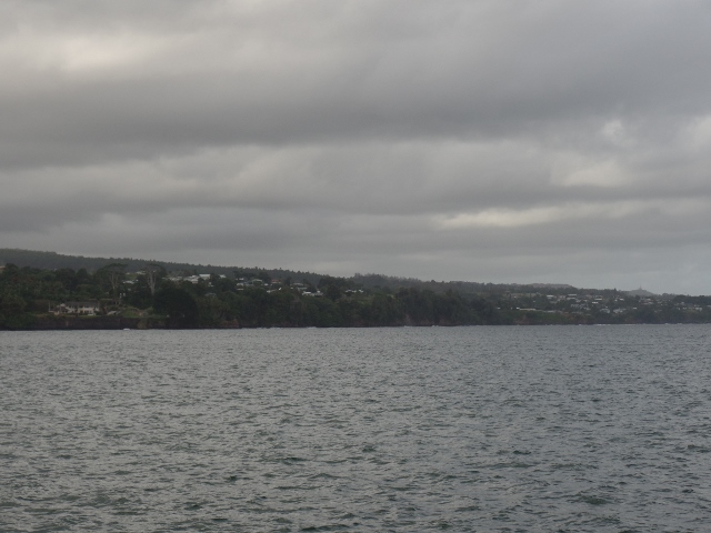
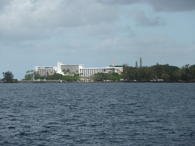
Then more general pictures as we drove, where you can see the water.
Then we got into the town of Hilo. While the other side of the island is very dry, Hilo has a tropical rainforest climate. It gets on average around 125 inches of rain, with 275 days of the year receiving some rain. This makes it the rainiest place in the Northern Hemisphere.
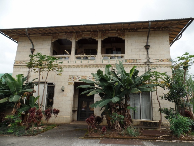
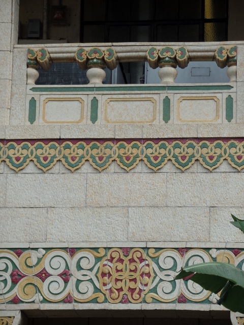
This is the former Hawaiian Telephone Company Building. C.W. Dickey is credited with developing Hawaiian Regional Architecture in the early 20th Century. Note the high-hipped, green tile roof and the brightly colored terra cotta tiles set in the building.
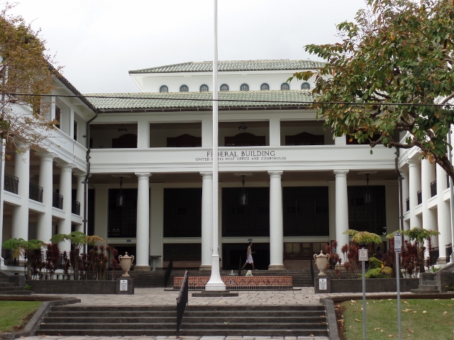
The Federal Building is located across the street from the north end of the Kalakaua Park, which was created in 1933. Designed by architect Henry Whitfield, it is typical of the early 20th Century government buildings. Today, it houses government offices, including the downtown branch of the United States Post Office. The original structure was built in 1919, and the two wings were added in 1936.
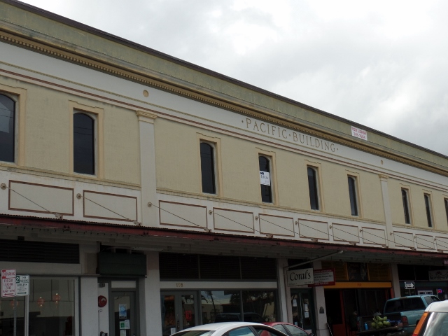
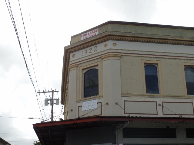
The Pacific building is a wooden building typical of many in Hilo constructed in the early part of the 20th Century. The simple style that emerged is now very special to Hawaii.
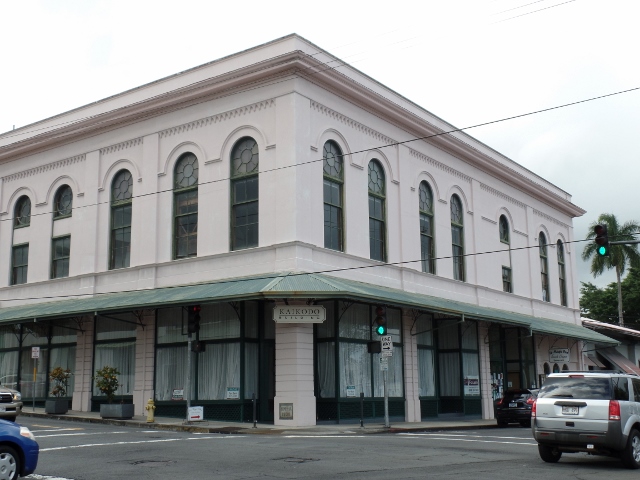
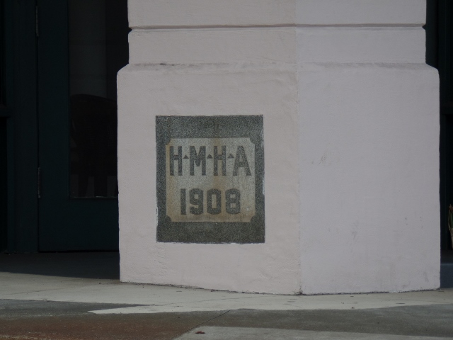
The Kaikodo Building (sometimes called the Toyama Building), was built in 1908 using steel beams on reinforced concrete. It was among the first fireproof commercial buildings in Hilo
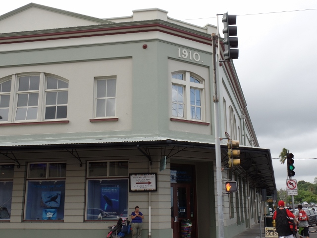
Koehnen's Building was originally built for the Hackfield Company in 1910, with interior walls of koa and floors of ohi'a woods. The Koehnens bought the building in 1957.
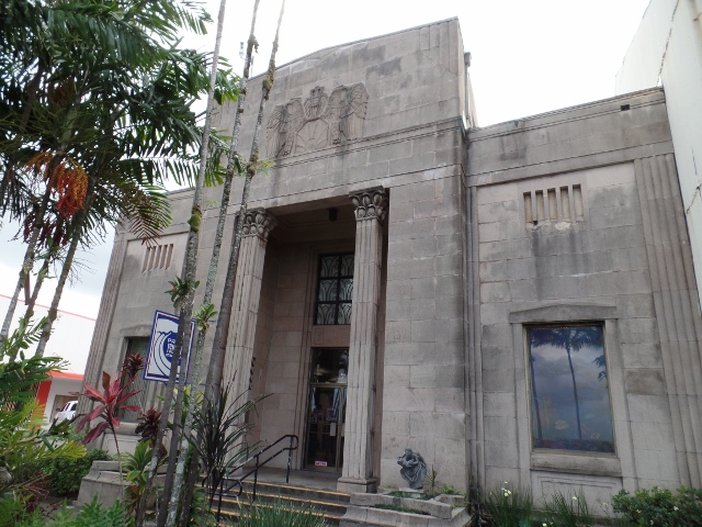
This somewhat ugly building is the Pacific Tsunami Museum. The sturdy concrete building with its parapet, fluted columns and wrought iron design was built in 1930 and survived both the 1946 and 1960 tsunami's. The museum chronicles the history of Big Island tsunamis and the resulting reconstruction of the city.
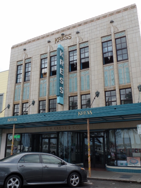
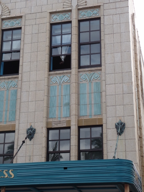
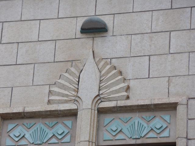
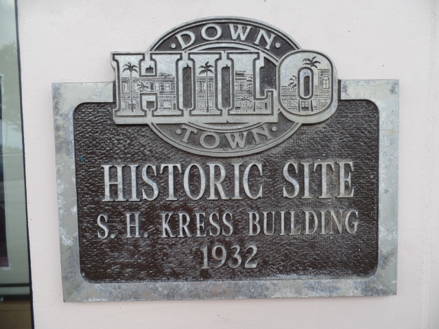
One of the nicest buildings (in my opinion) is the S.H. Kress Company Building. When it opened in 1932, floral designs, batwing shapes, and the terra cotta front contributed to introducing a new kind of architecture - Art Deco. The interior of the store offered many shopping conveniences including wide aisles, good lighting, and a popular soda fountain.
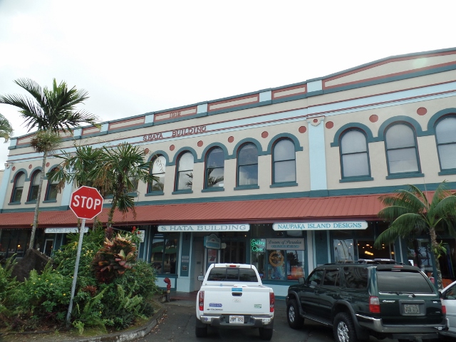
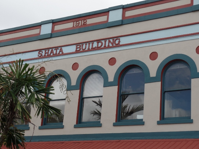
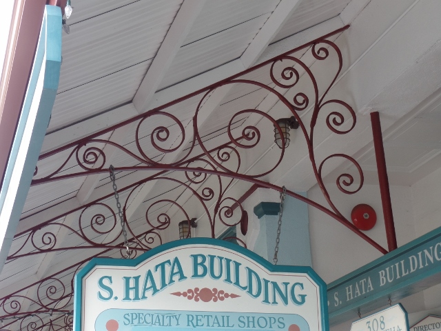
Another nice building is the S. Hata Building. Built by the Hata family in 1912, this is example of Renaissance Revival architecture in Hilo.
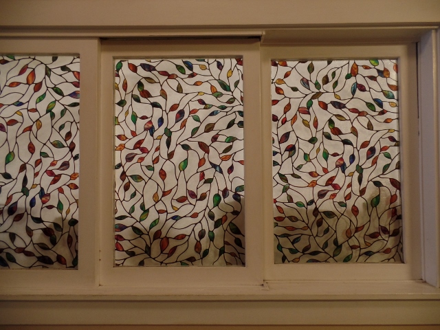
We stopped for a coffee and inside was this really nice glass window.
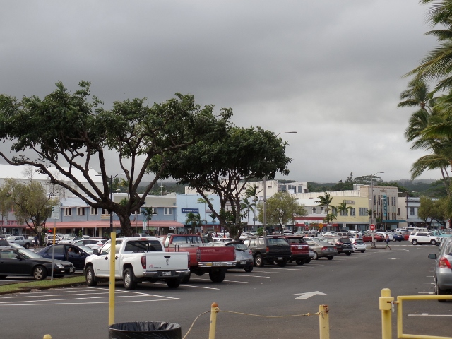
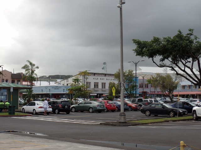
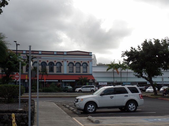
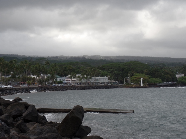
I really just tried to get a landscape view of the downtown area.
The downtown area sits on Hilo Bay, which is sometimes called "the tsunami capital of the United States". The bay's topography steers tsunamis to Hilo from earthquakes in active areas such as Chile and the Aleutian Islands. The April 1, 1946 tsunami from the 1946 Aleutian Islands earthquake killed 96 people on Hilo bay. On May 20, 1960, a tsunami originating from the 1960 Valdivia earthquake in Chile killed 61 people in Hilo. After the February 27, 2010 Chile earthquake, the Pacific Tsunami Warning Center caused sirens to sound and evacuations were ordered, but there were no injuries.
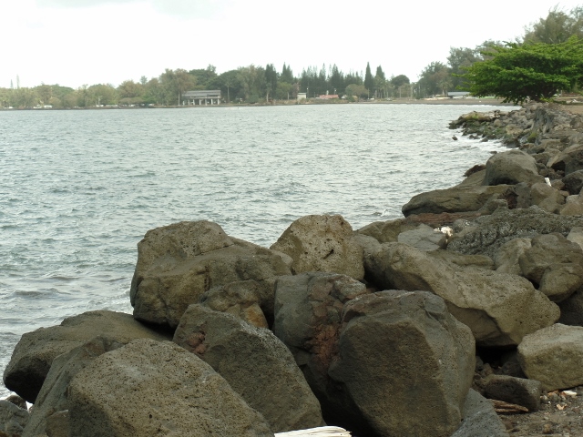
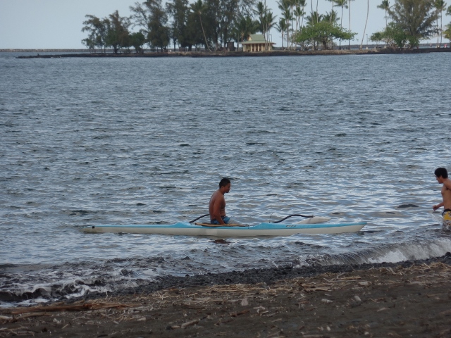
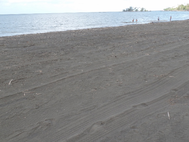
Not the best beach, but there were a few canoeers out there.
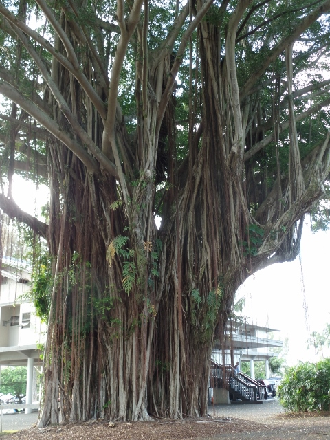
A HUGE banyan tree!
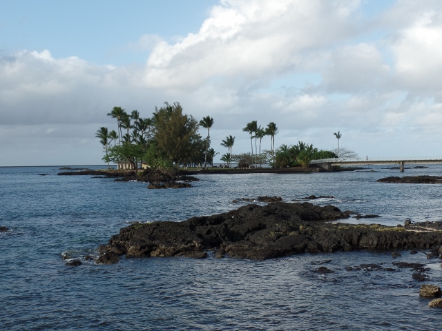
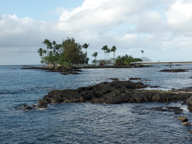
The small island seen here is Moku Ola or Coconut Island. It is just offshore and connected with a foot bridge. The island includes a large grassy field, picnic areas, restroom facilities, and a few tiny sandy beaches. When we were there, there was a group of young adults that looked like they were taking an exercise class on the grass. The name Mokuola translates as "healing island" or "island of life" from the Hawaiian language. Moku meaning island and ola meaning life. It was the site of an ancient temple dedicated to healing.
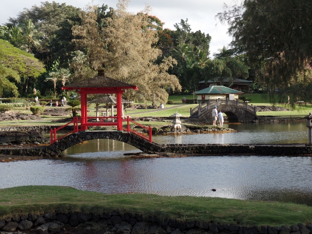
Lili'uokalani Park and Gardens is a 30-acre park with Japanese gardens across from Coconut island. The park has an Edo-style Japanese garden, built in the early 1900s, and said to be the largest such gardens outside Japan. The garden contains bridges, koi ponds, pagodas, statues, torii, and a Japanese teahouse.
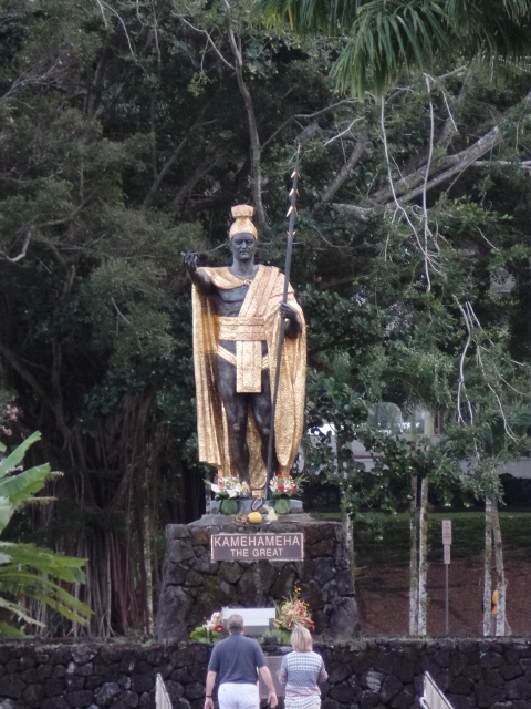
This is a status of King Kamehameha, who conquered the Hawaiian Islands formally establishing the Kingdom of Hawaii in 1810 and founding the Kamehameha Dynasty.
Proceed to Volcano Trekking